Day 10: Careening towards Kansas!
Main Page > Cowboys & Indians >
Mike and Bone rose early with a 13 hour drive in front of them, since the Black Canyon of the Gunnison National Park was smoking worse than Mt St. Helen in 1980, their business in Colorado was at a close and it was time to head east. They grabbed some drive through breakfast and hit the back roads through the Rockies.
An Early Morning Boogie
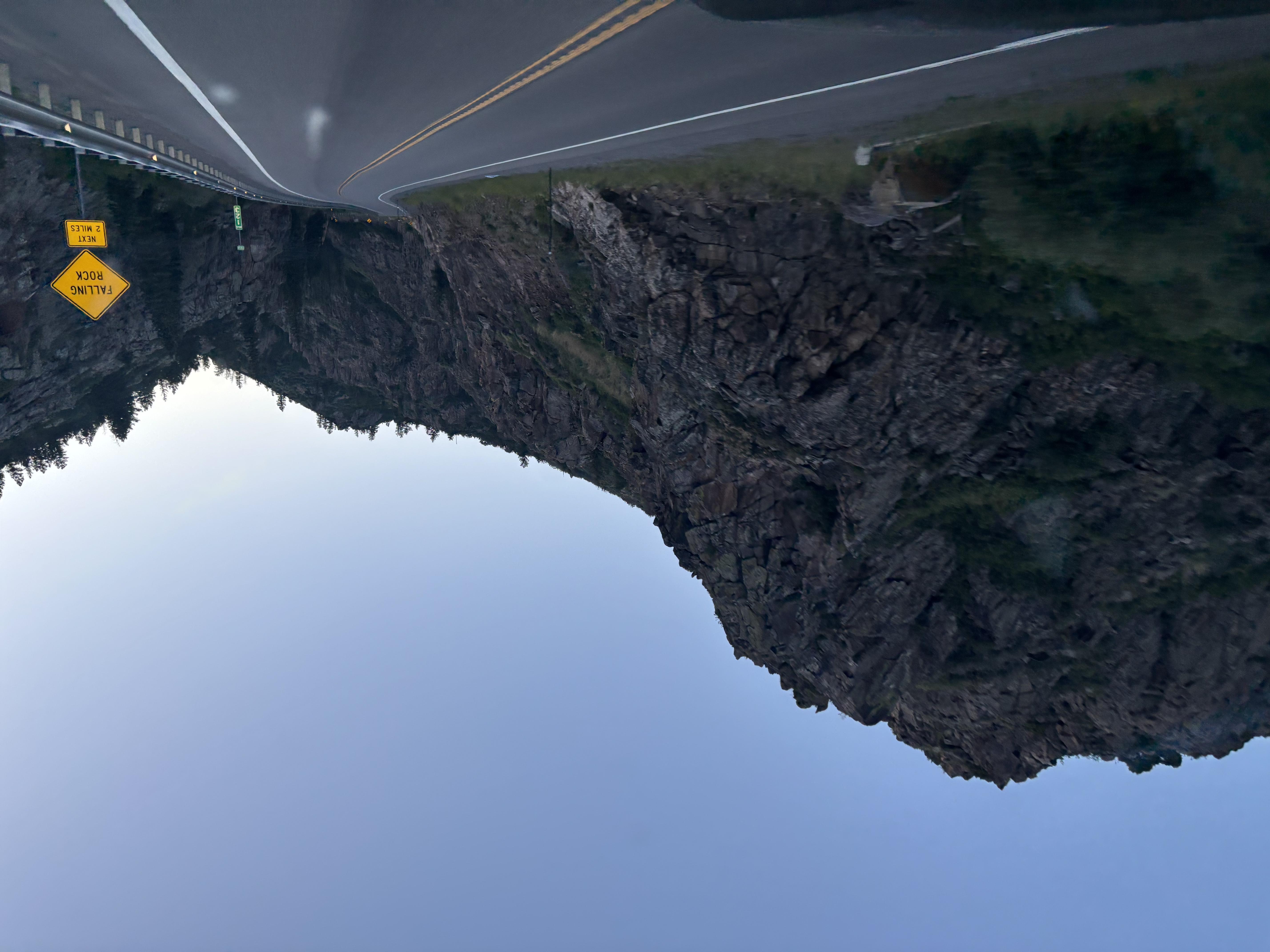
The drive started with clouds of smoke from the fire that was creepy, but made for an amazing red sunrise!
A Magic Mountain Sunrise
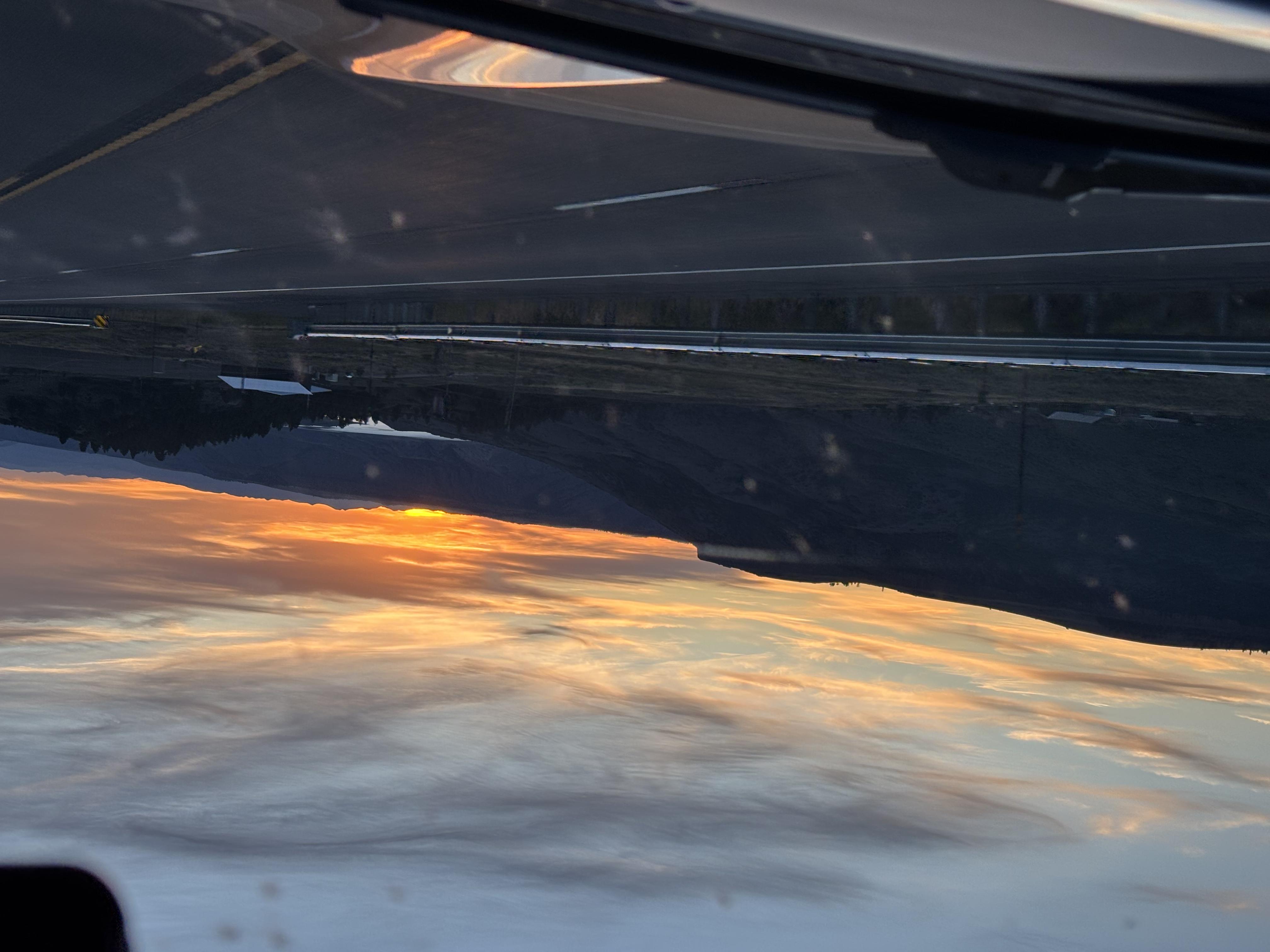
Shortly they finally move east of the fire and as the air cleared, the Boys had an awesome day in front of them!
Getting a Bit of the Gunnison!
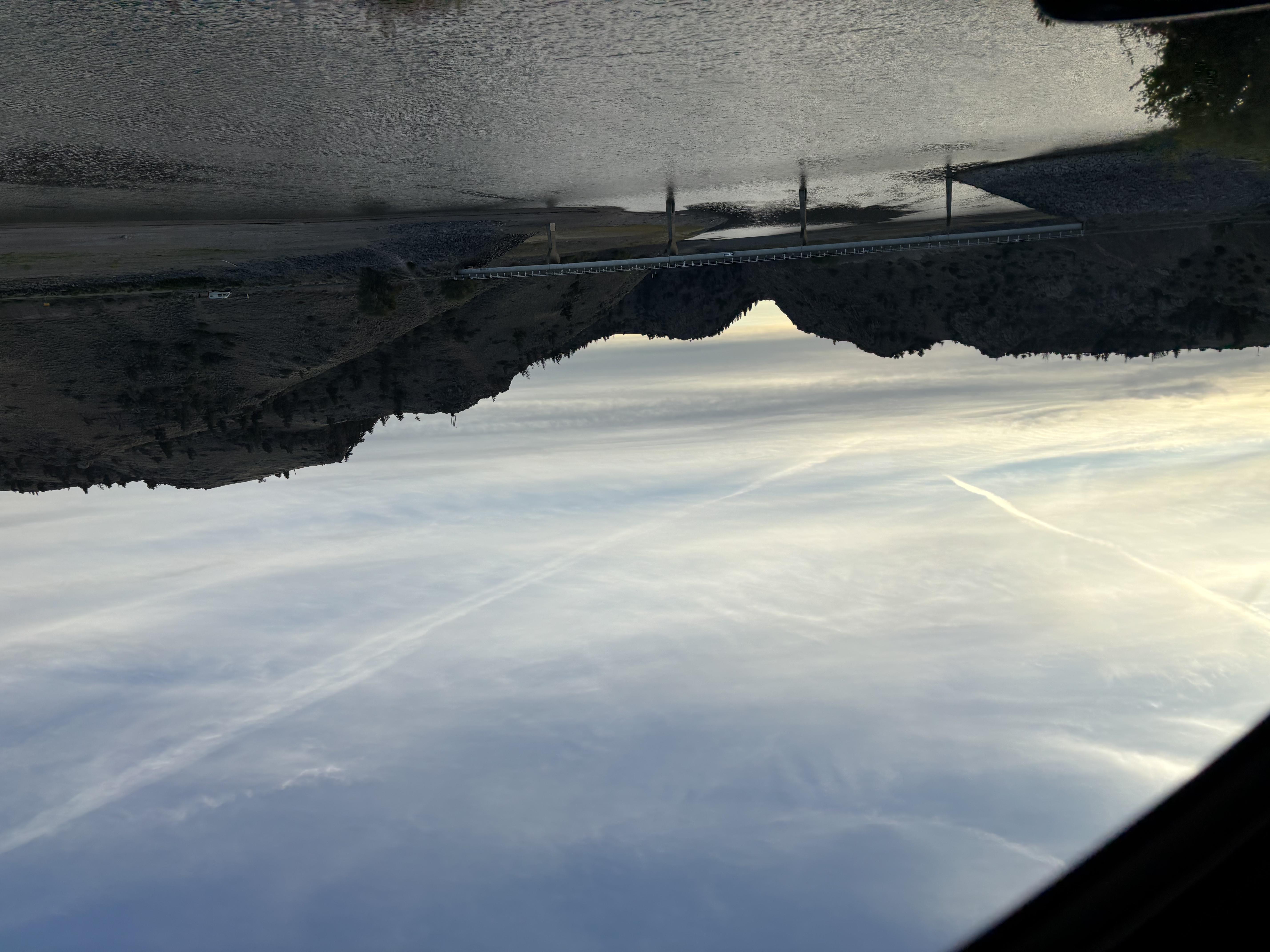
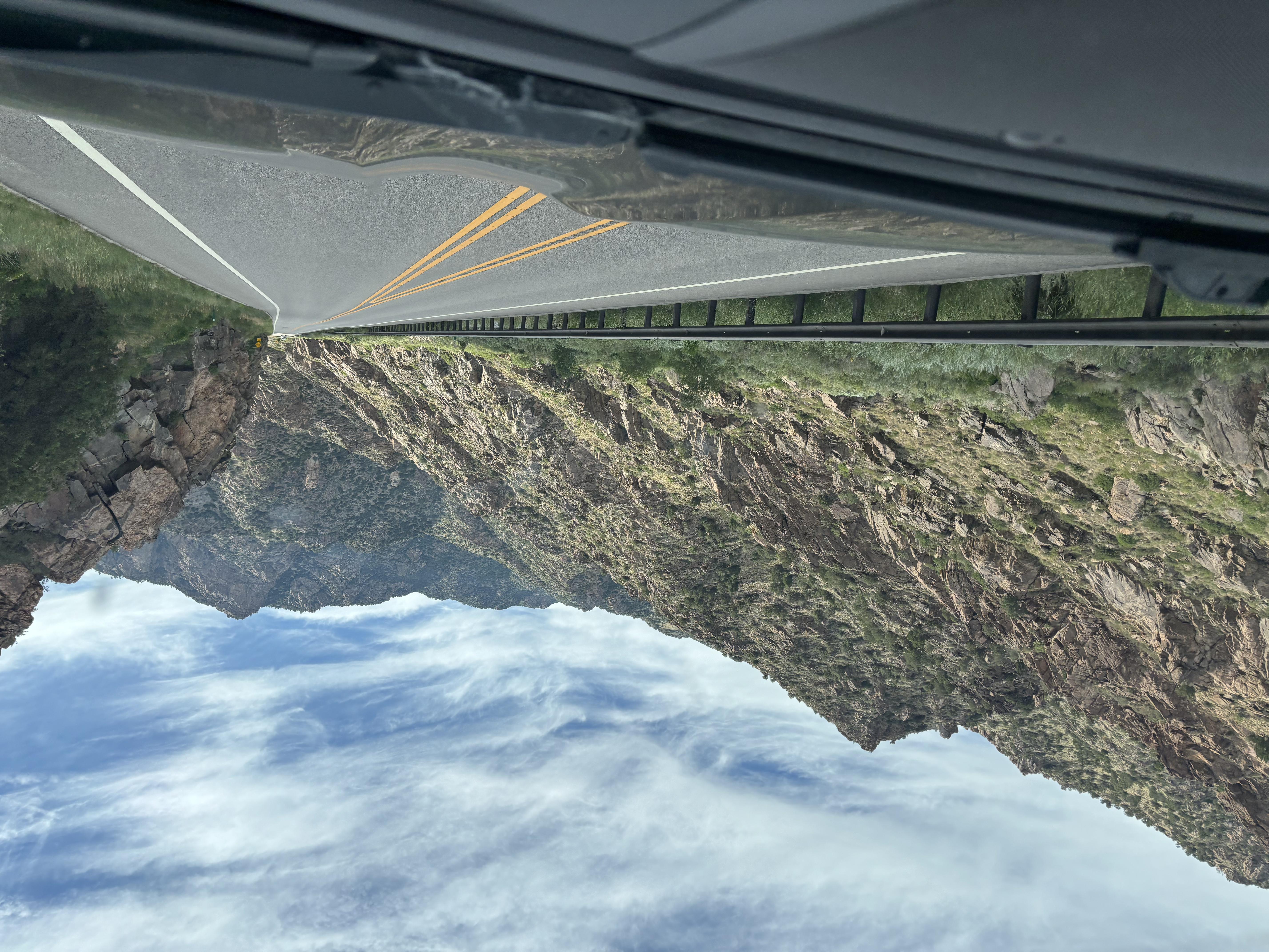
While the forest fire cheated Mike and Bone of the Black Canyon of the Gunnison, they did get to drive a bit of the Gunnison River!
Taking the Back Roads
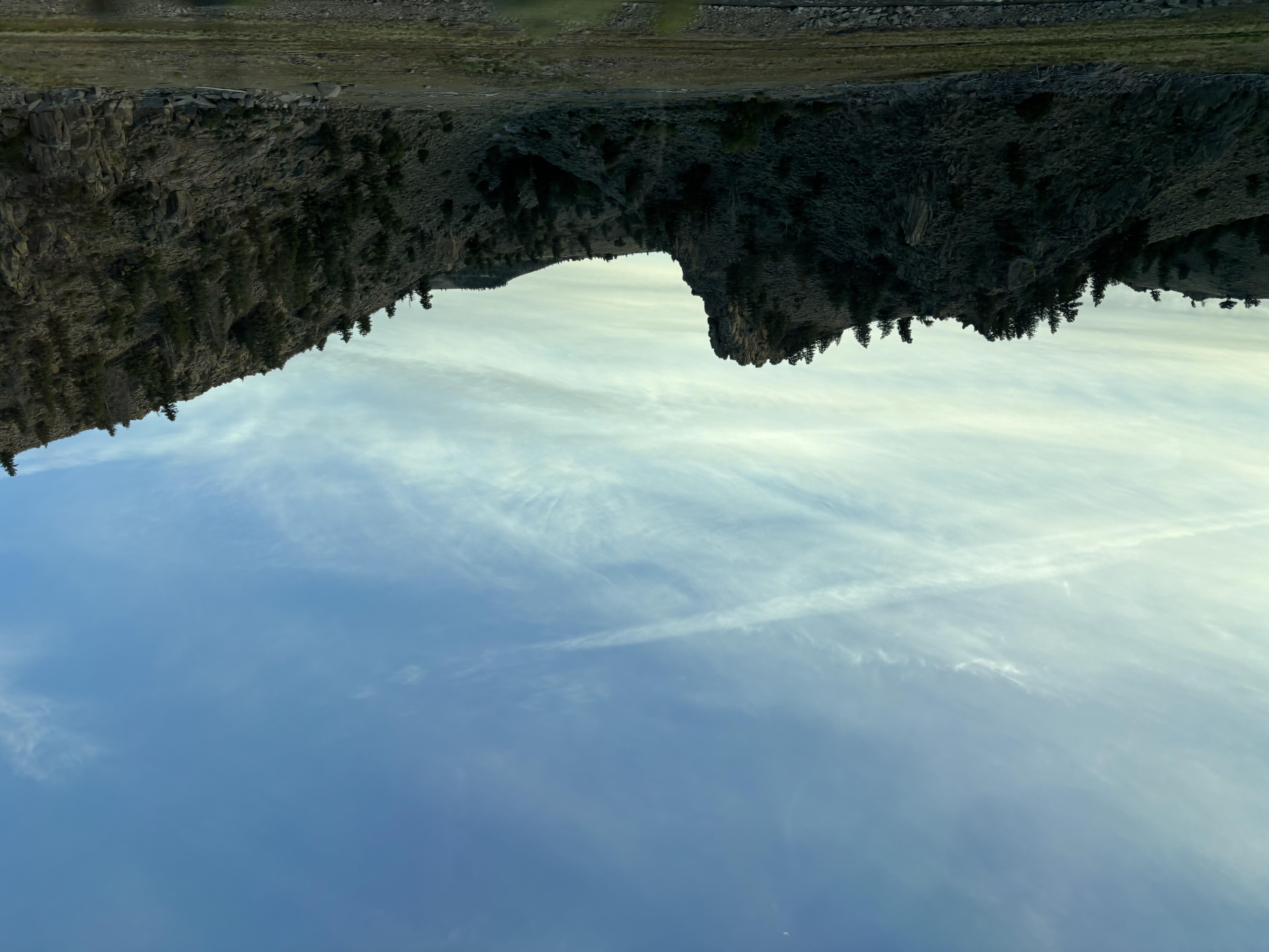
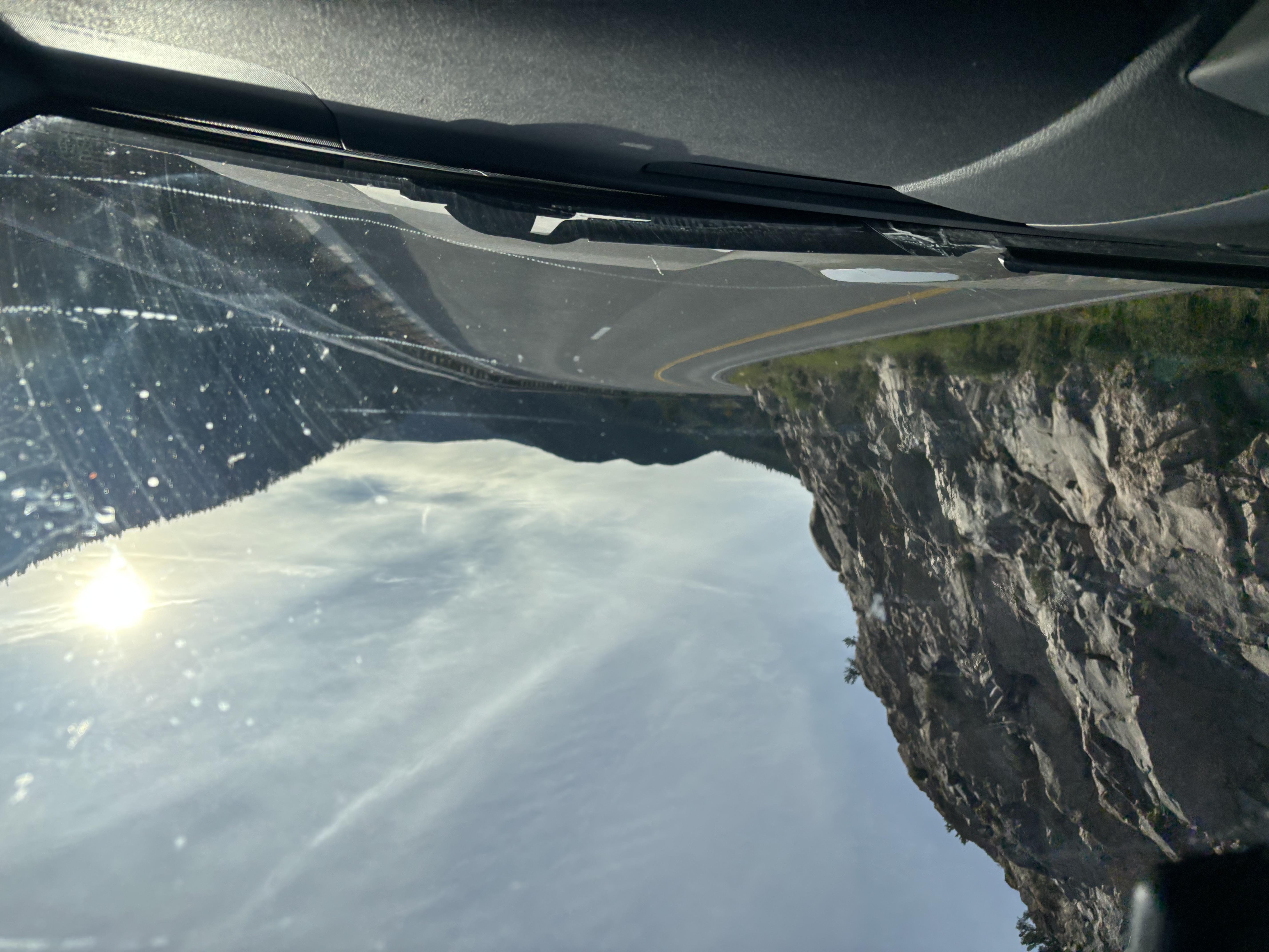

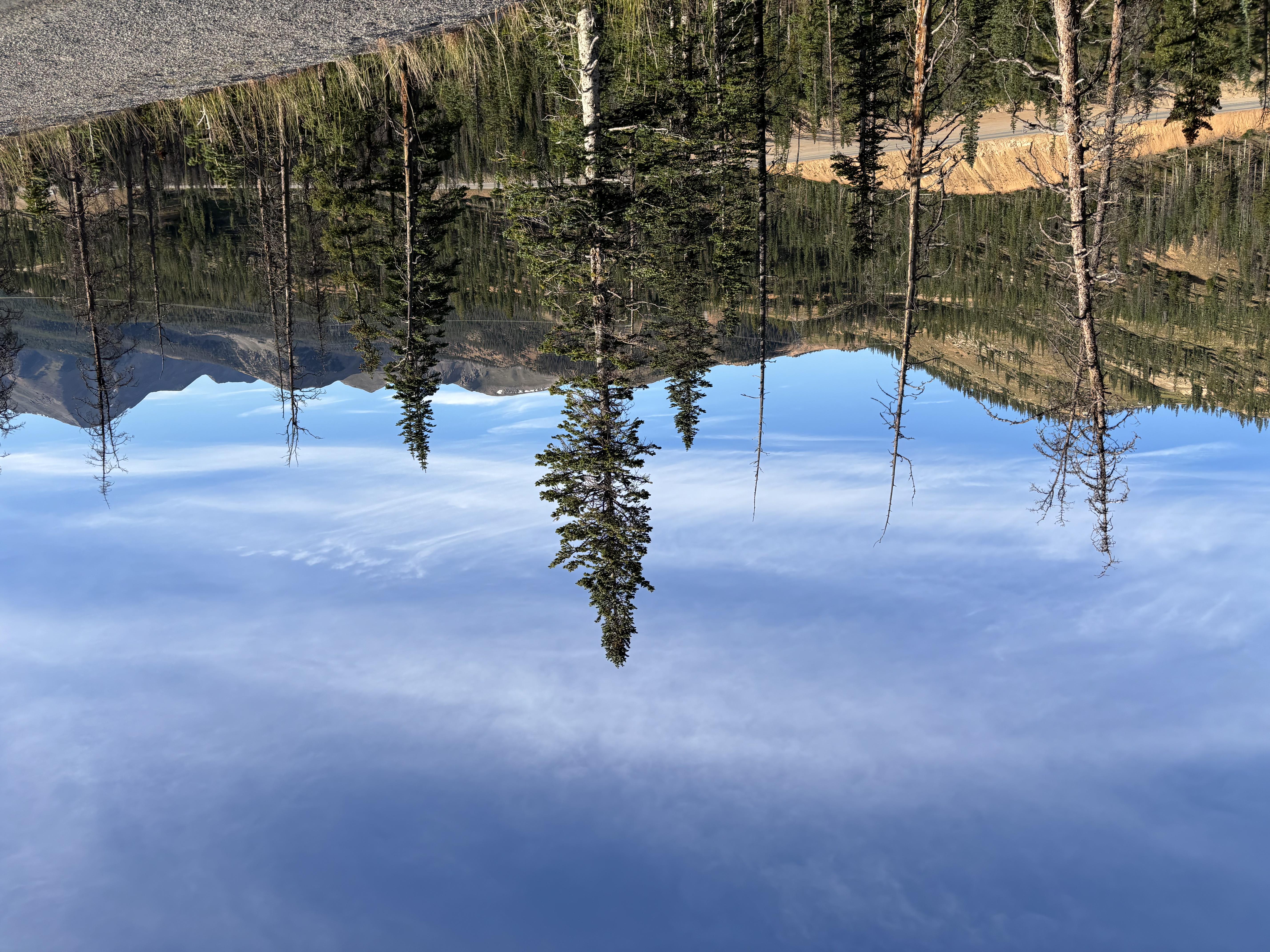
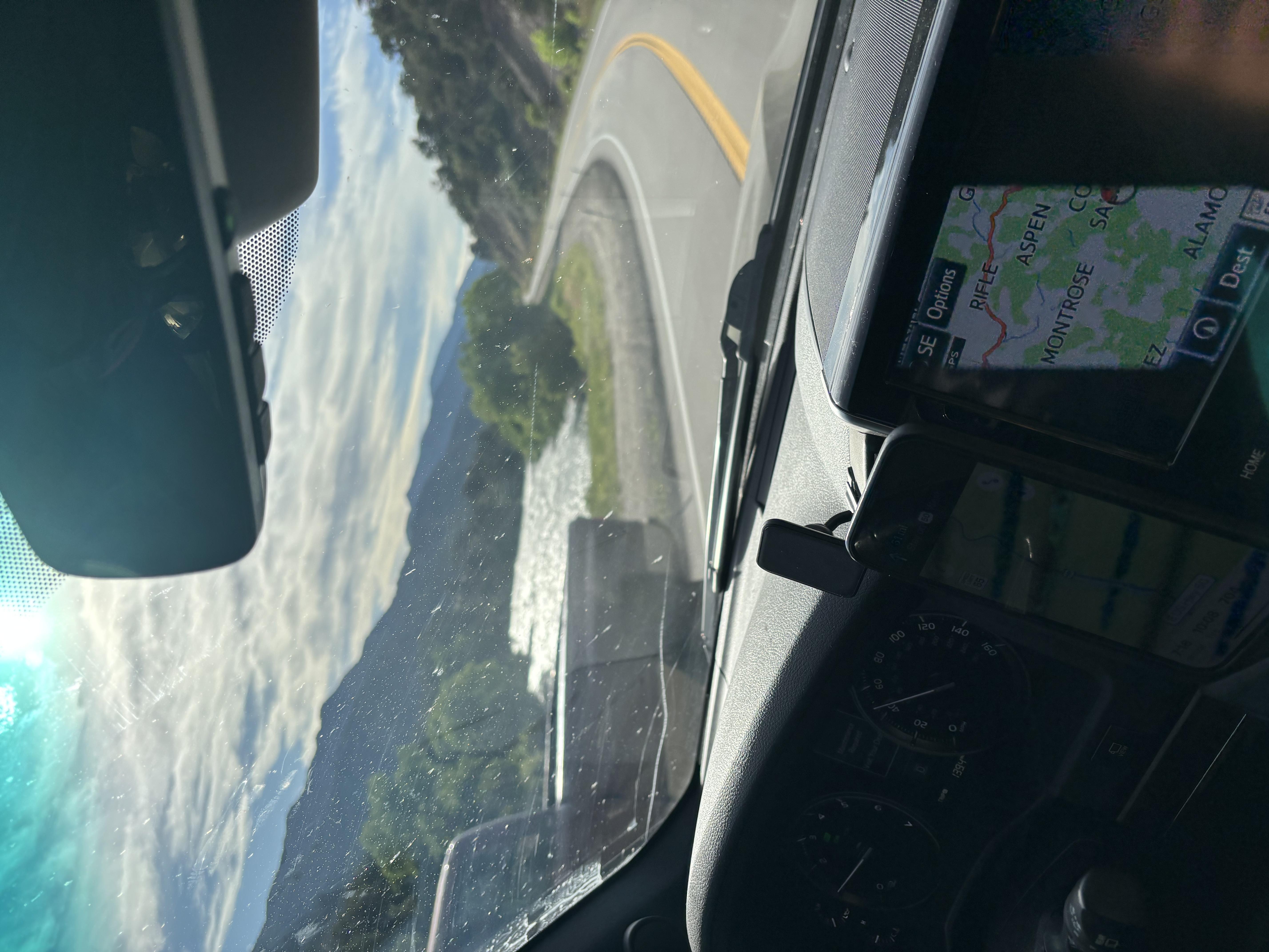
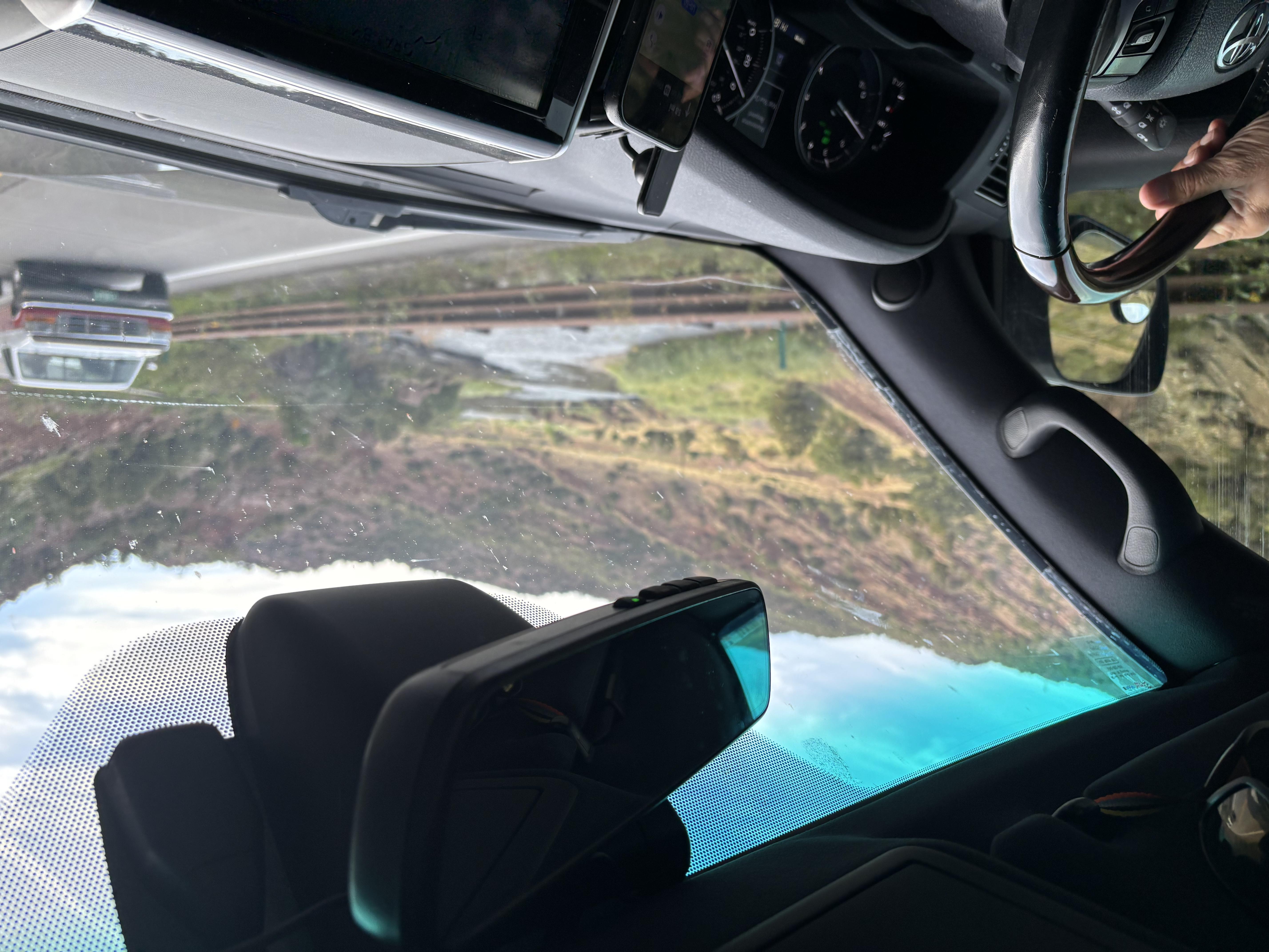
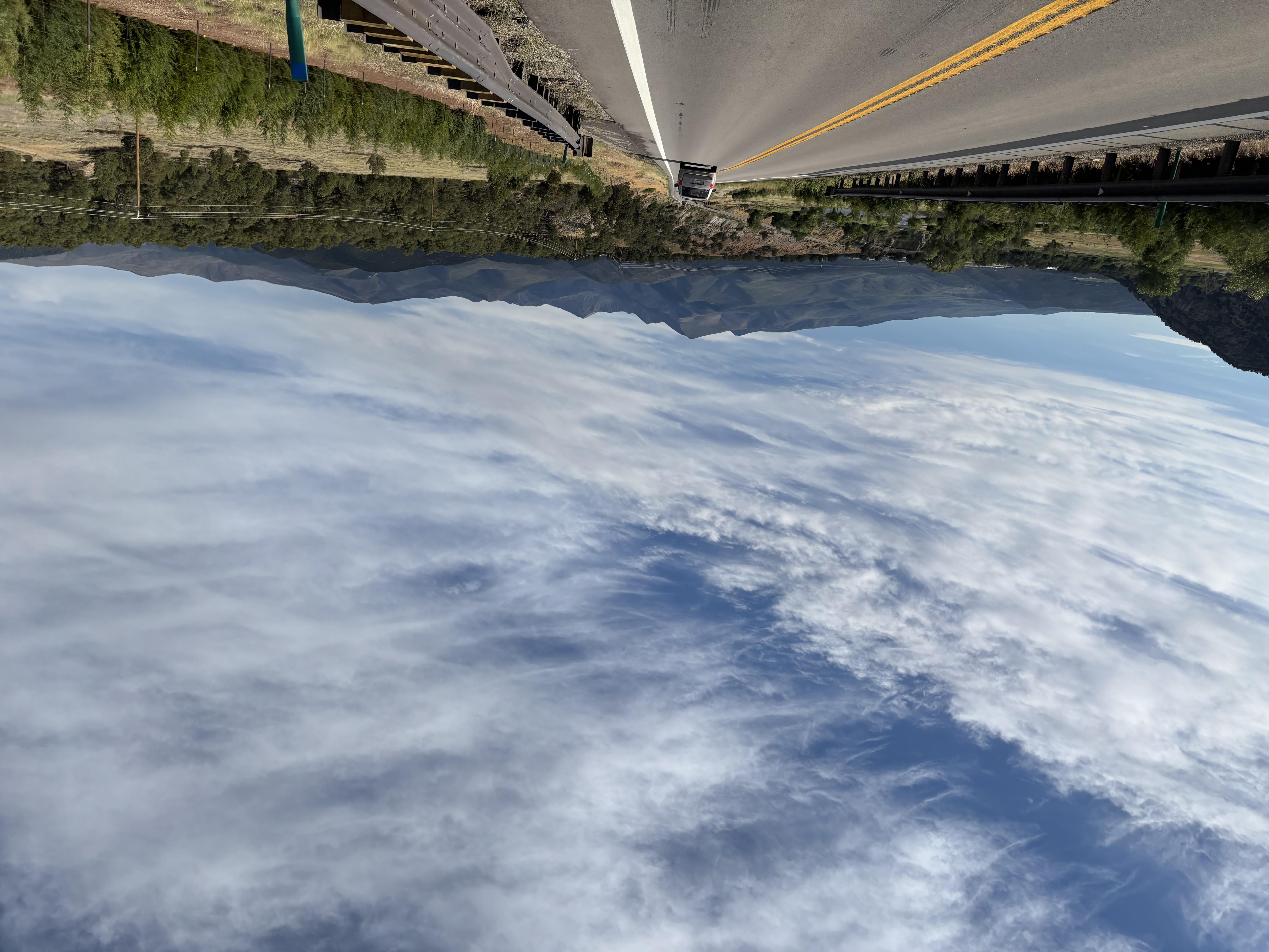
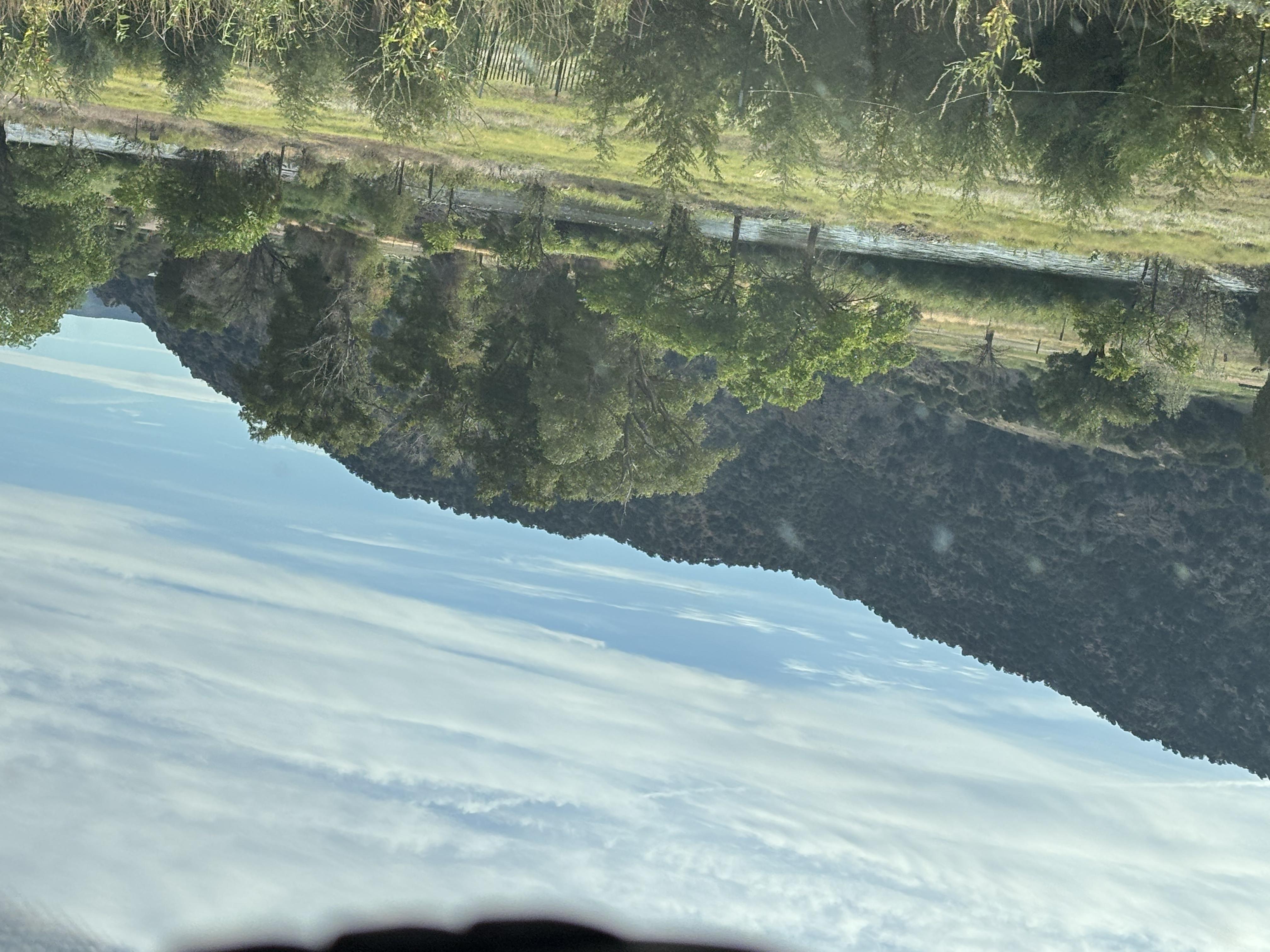
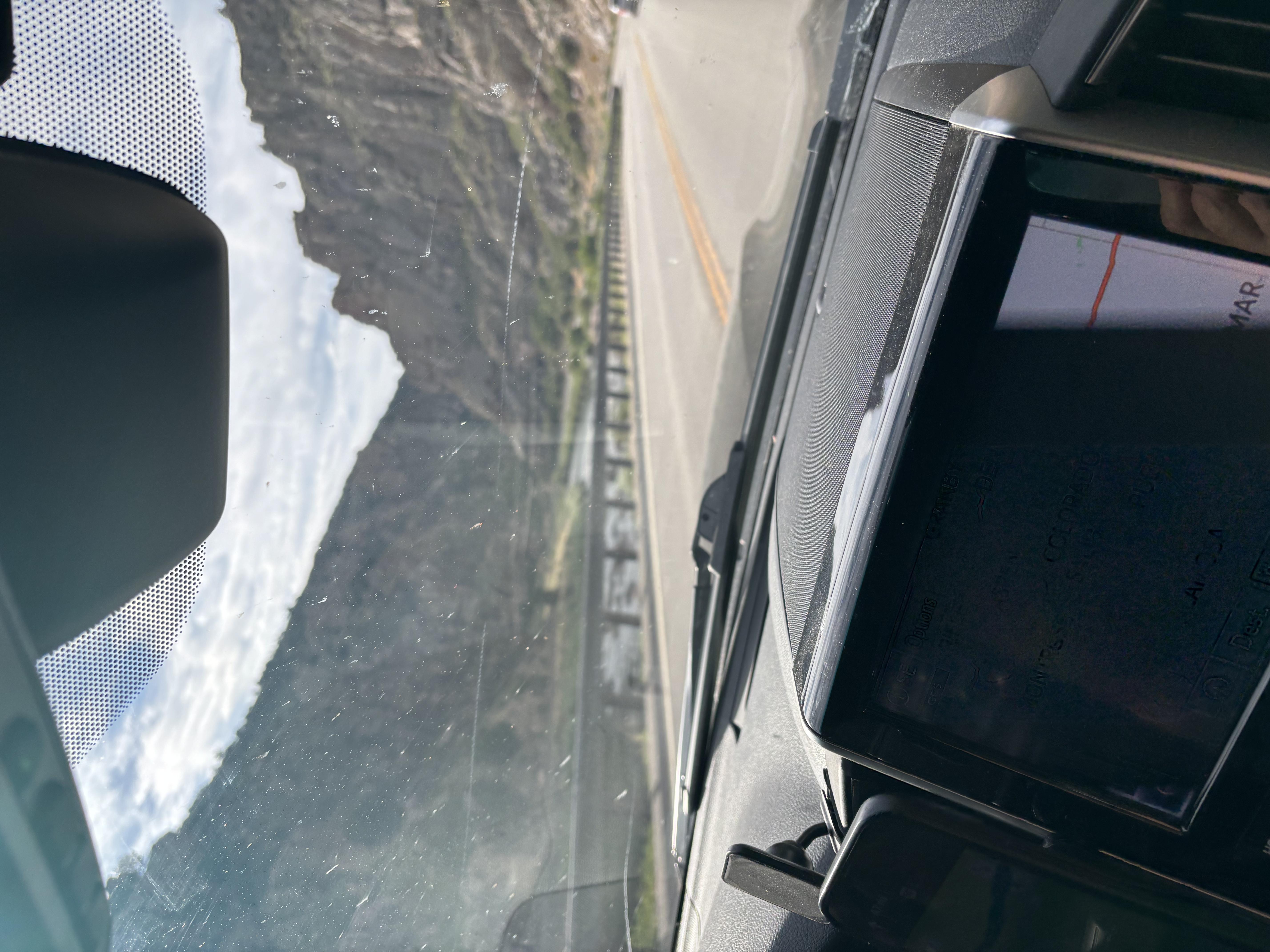
The most direct route to Kansas was a two lane highway, that did not have a lot of traffic, so Mike and Bone were able to make good time and see the path less traveled!
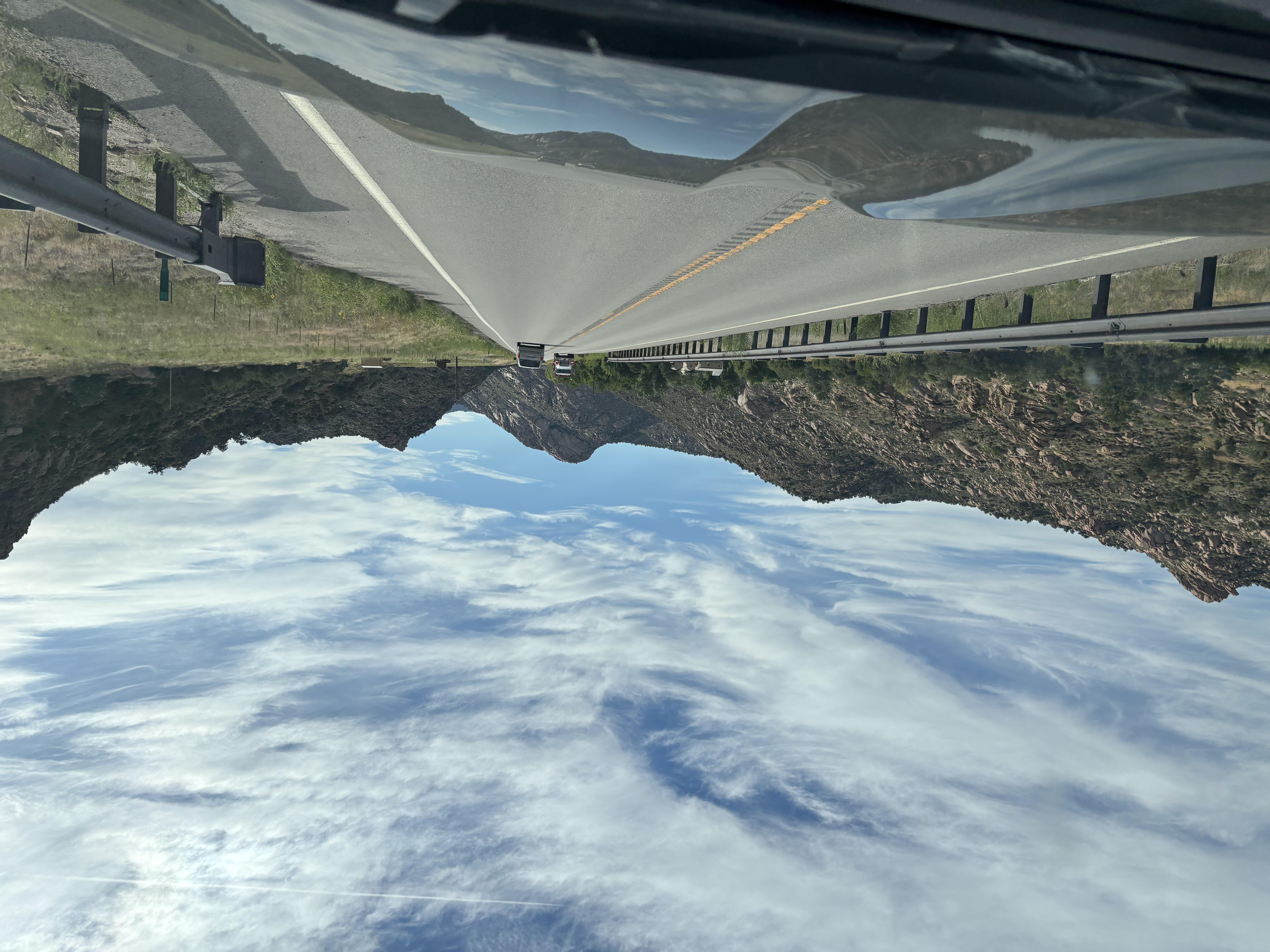
Driving through the Eastern Range
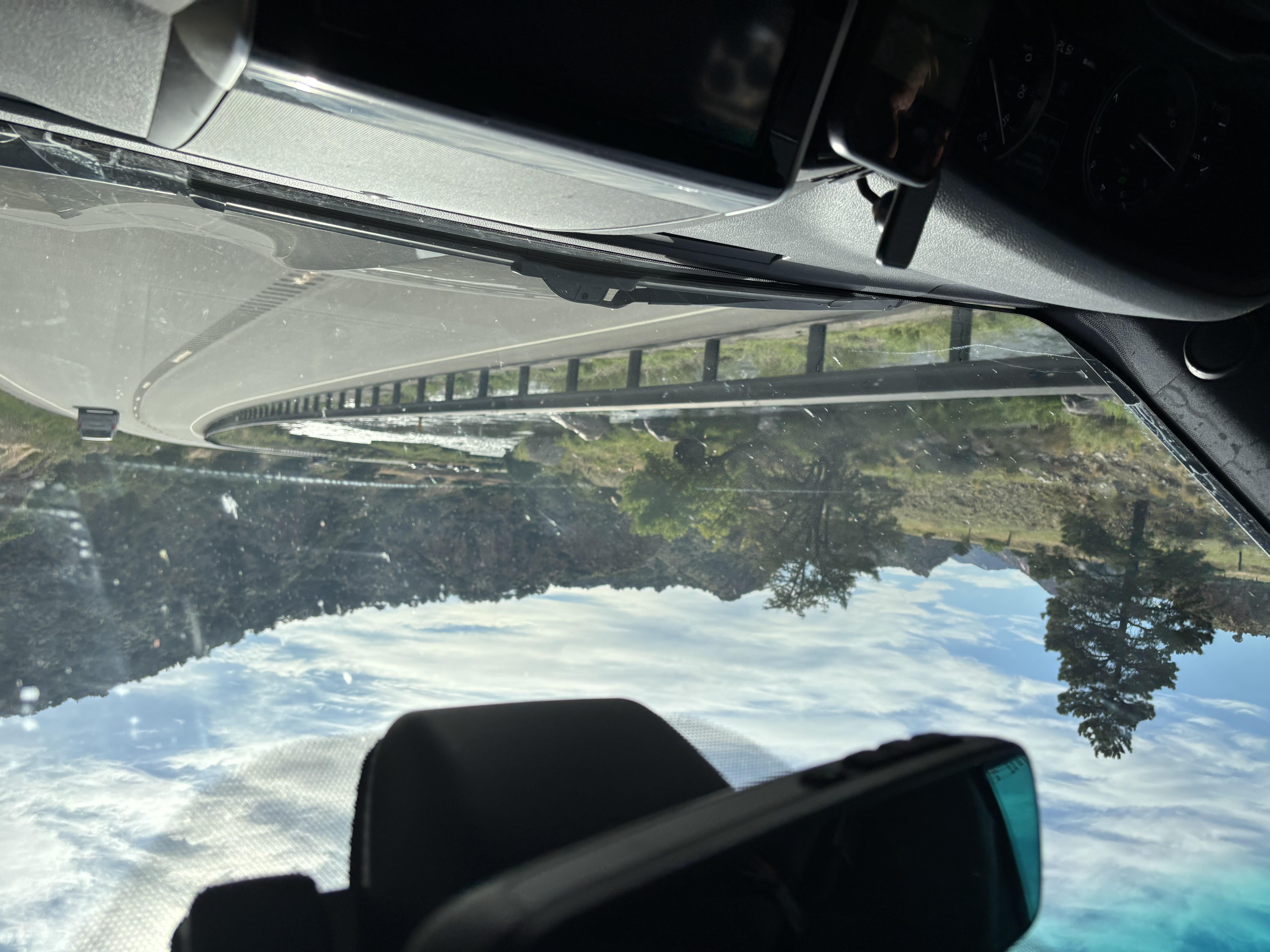
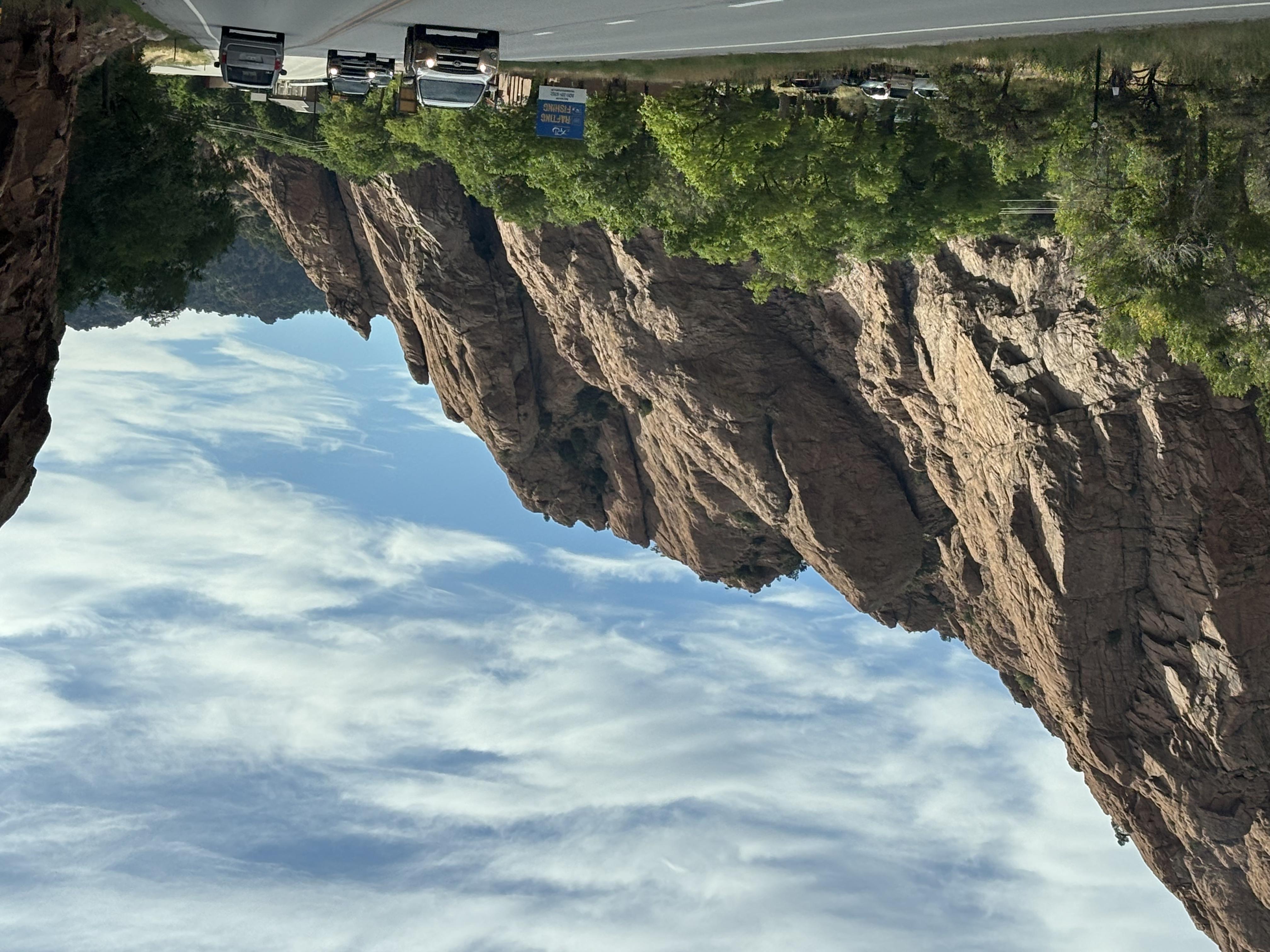
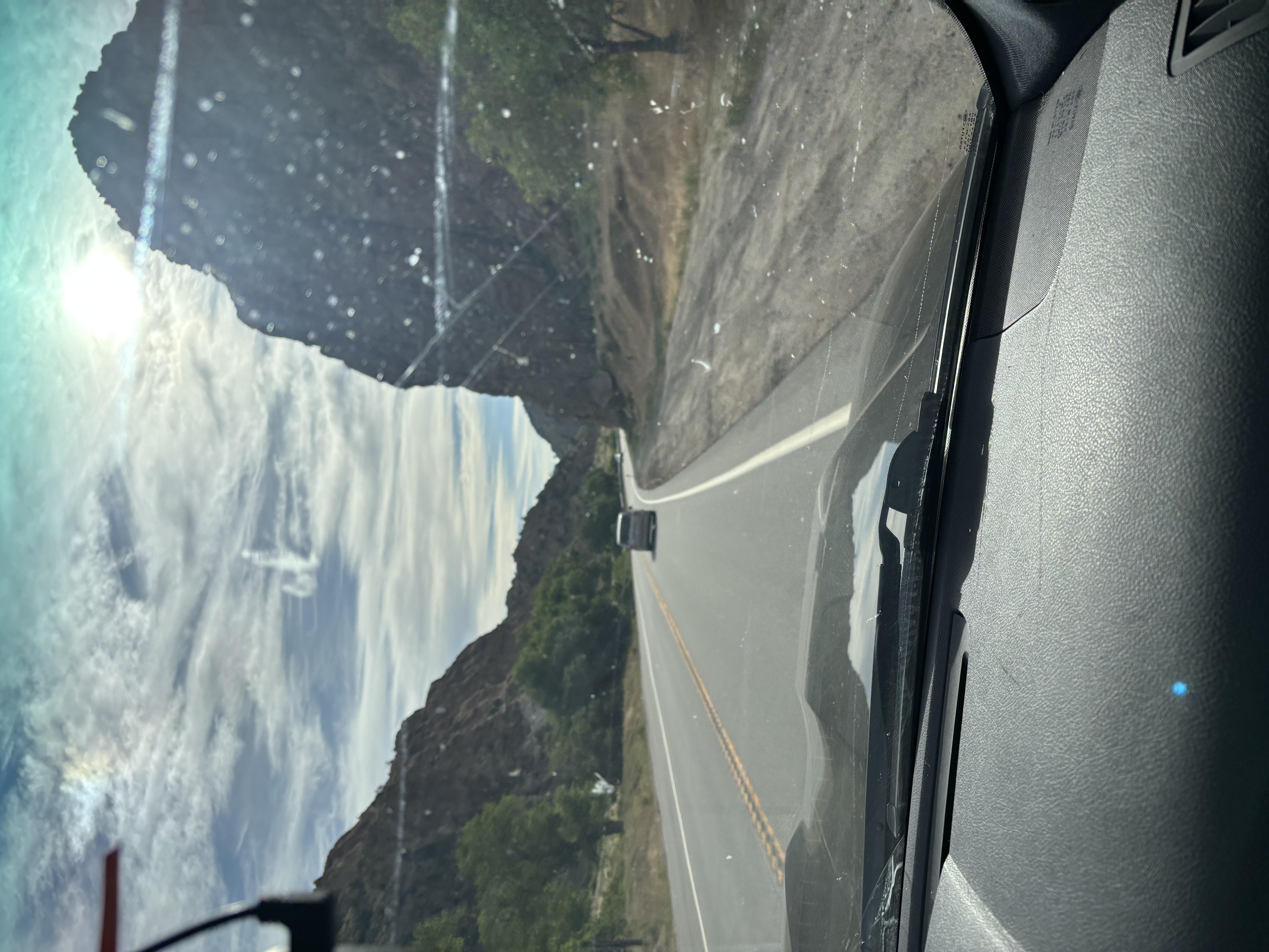
Driving the road less travelled Mike and Bone saw very few towns, and those they did were little mountain towns, where they gassed up the Land Cruiser and themselves with sandwiches (which did create more gas!) as they traversed east!
Flying Flat through Eastern Coloradah!
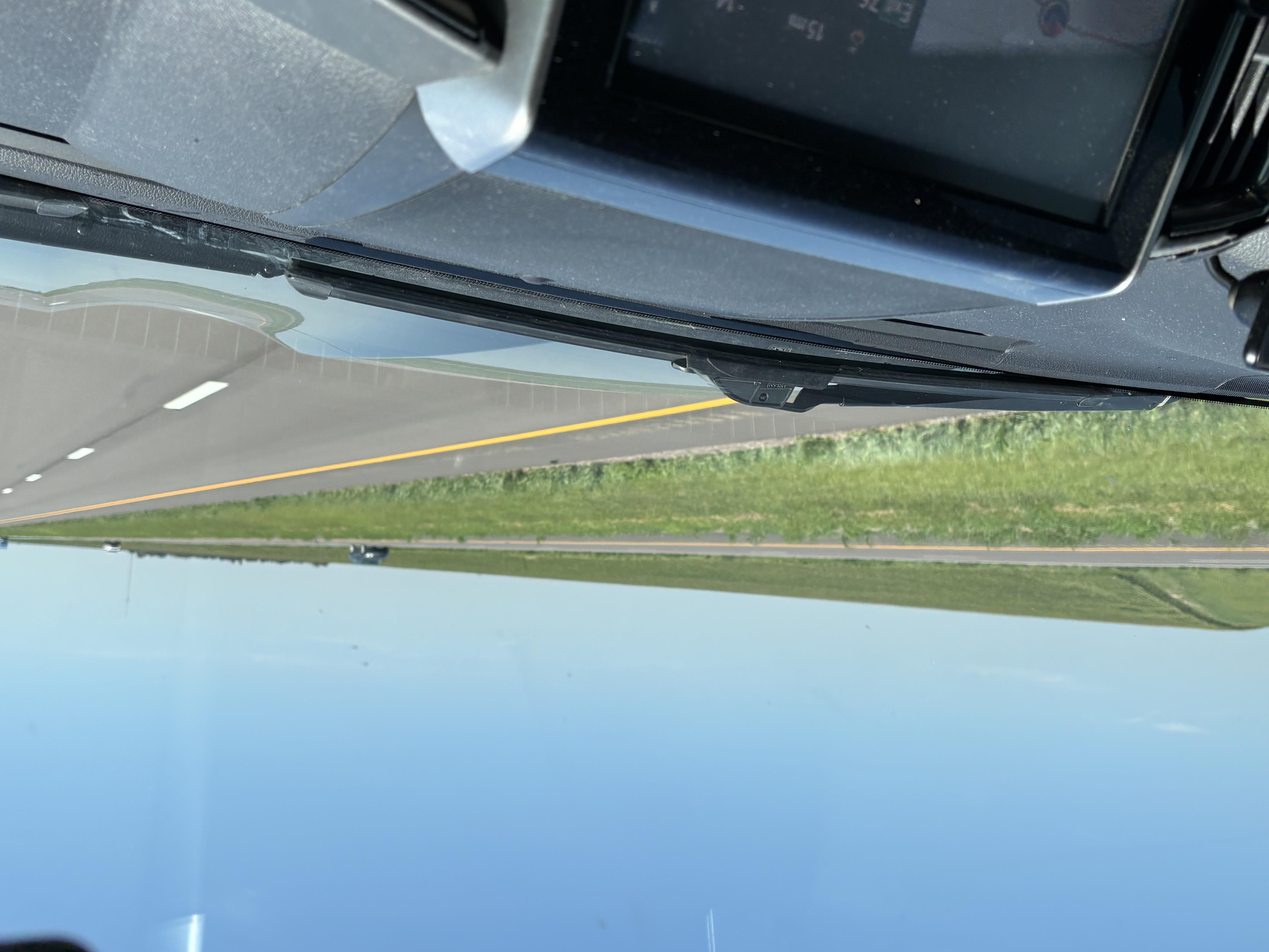
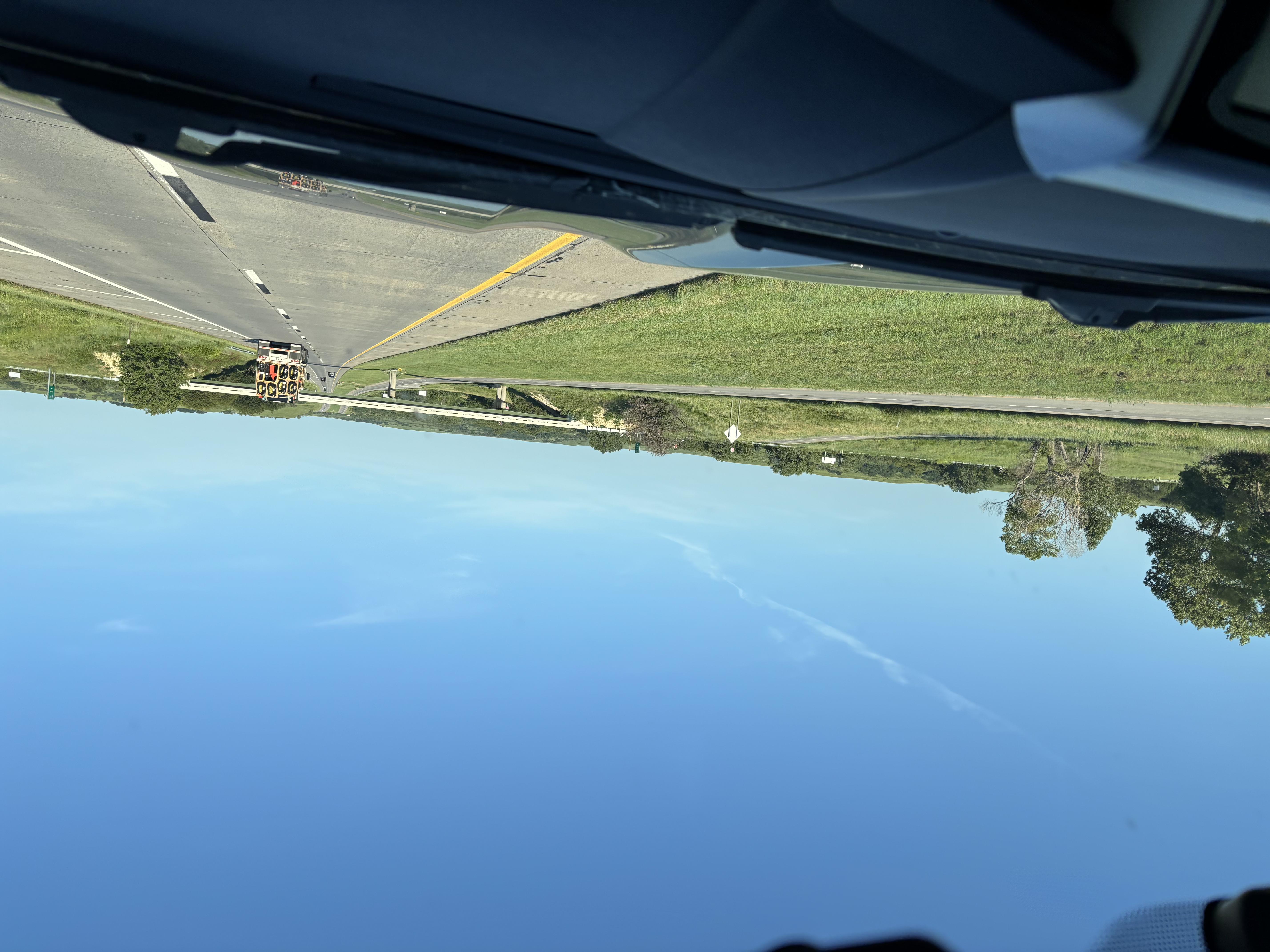
The Boys drove uneventfully through the Mountains and down into Eastern Colorado that is so flat it makes Iowa look interesting!
"Gee Dorothy, It IS Kansas!"
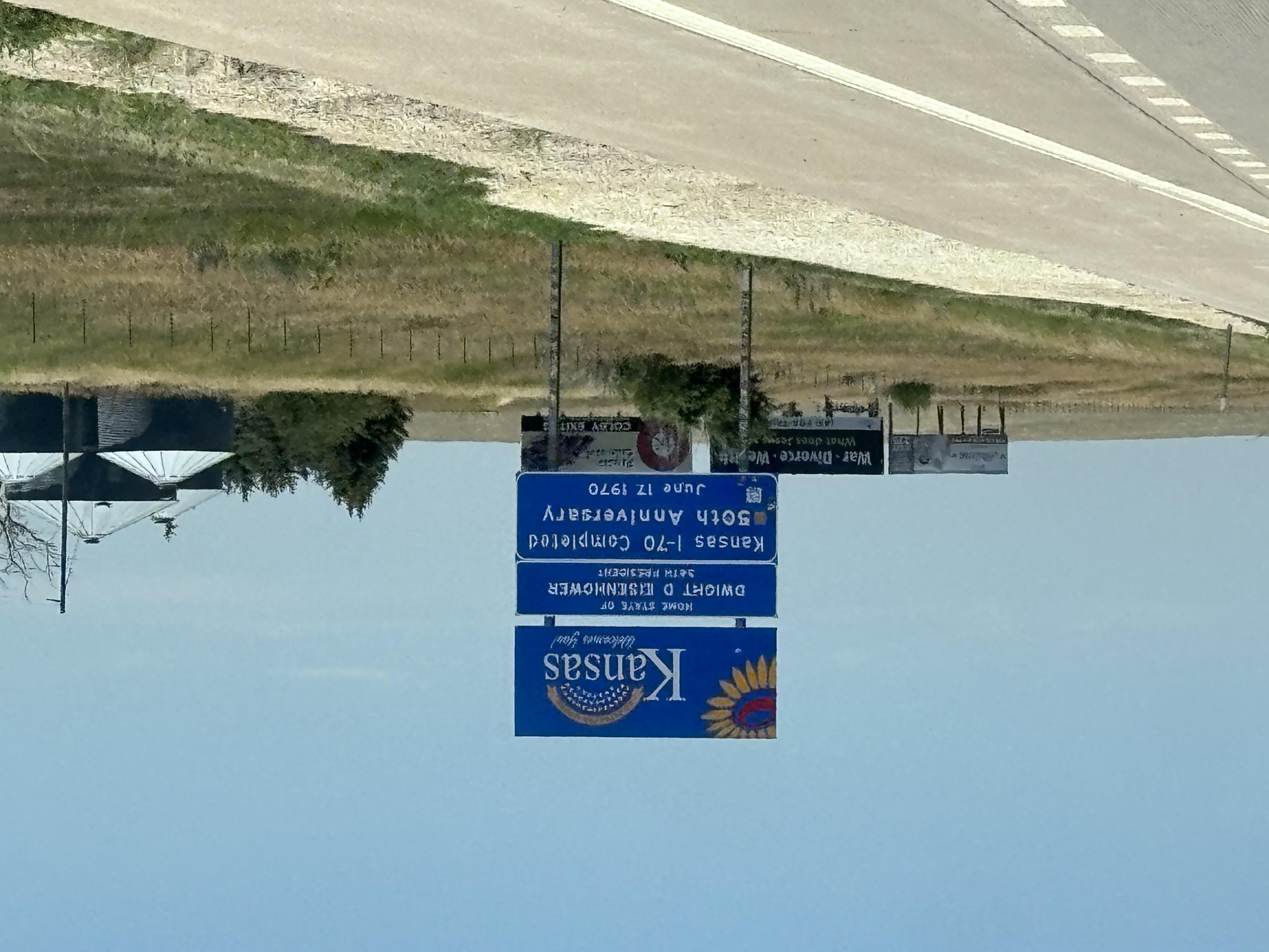
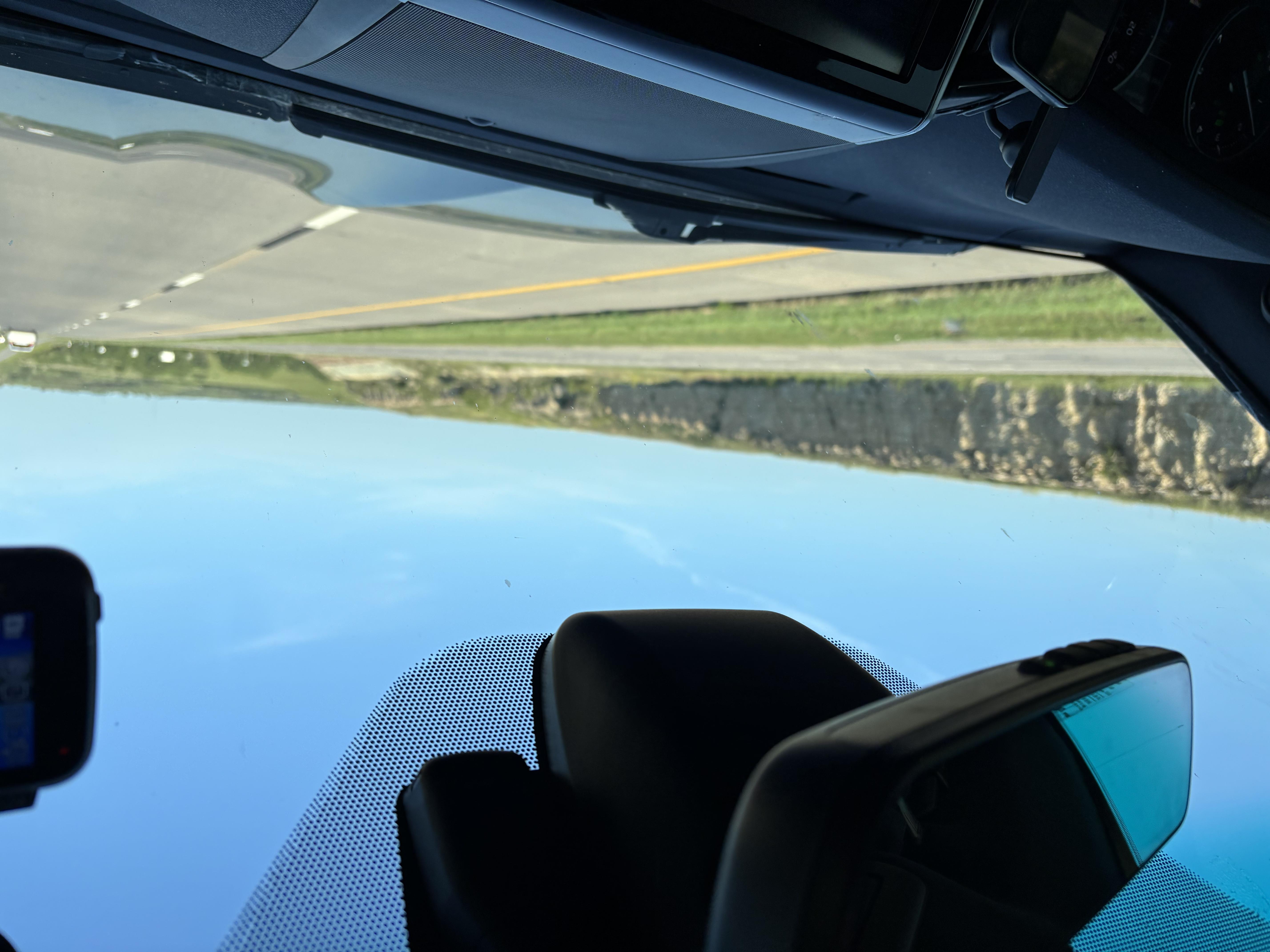
As Mike and Bone drove further into Kansas, a strange thing occurred, the land got a lot less flat than Eastern Colorado! In fact as the Boys drove Eastern Kansas, the Boys were rolling through the Osage Plains / Central Lowlands, transitioning into the Flint Hills. It's rolling terrain rather than flat — shallow, rounded hills and stream valleys carved into gently dipping sedimentary layers, generally became more rugged as Mike and Bone drove through the state. The hills the road cut through are primarily Limestone and shale, laid down in shallow Permian and Pennsylvanian-age seas roughly 250–320 million years ago. Alternating hard limestone and soft shale beds, weathering at different rates, are what give the Flint Hills their stepped, terraced hillsides. There are Chert (flint) nodules embedded in the limestone — this is literally where "Flint Hills" gets its name.
Doing 70 on I-70 in Kansas
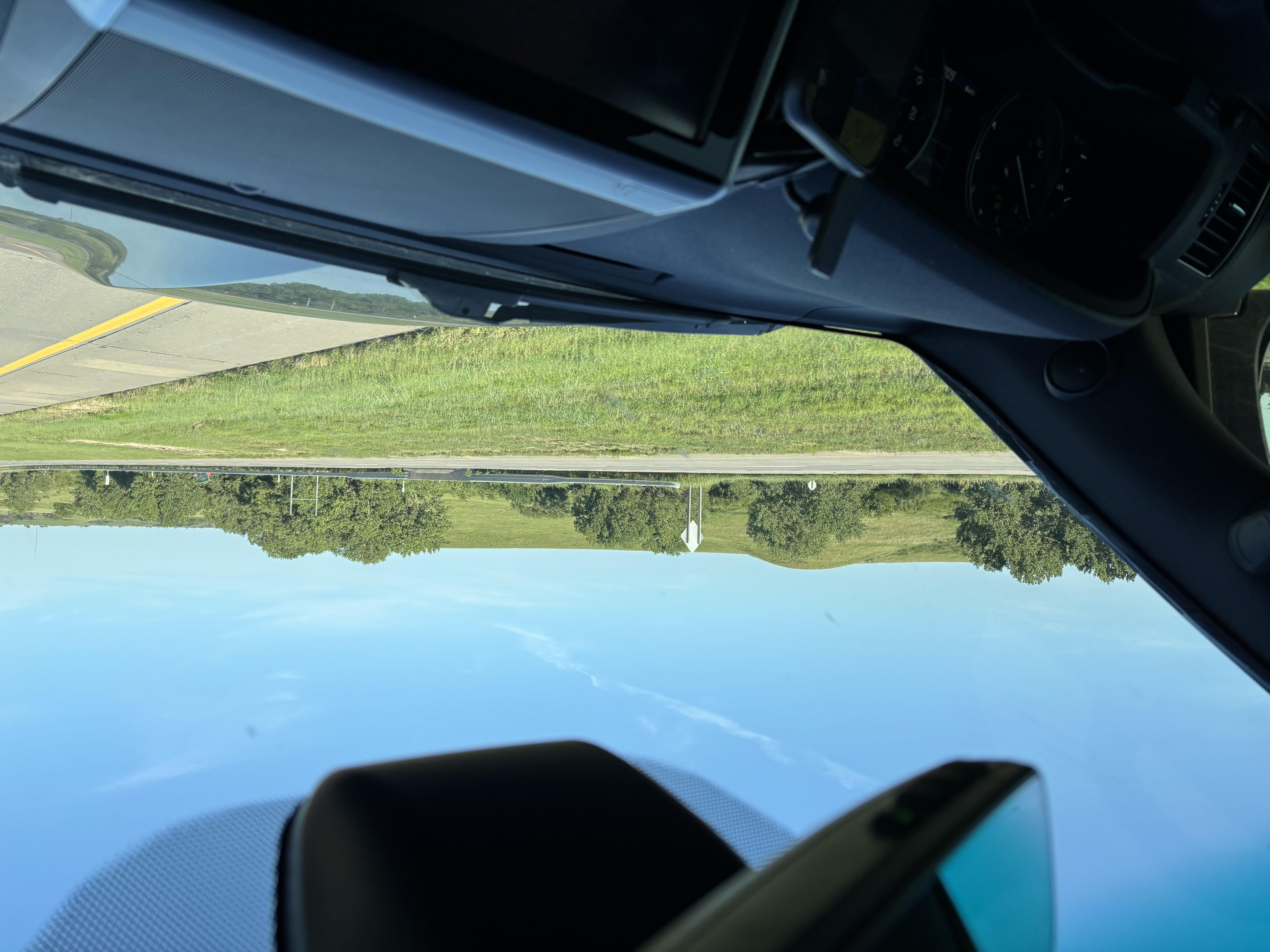
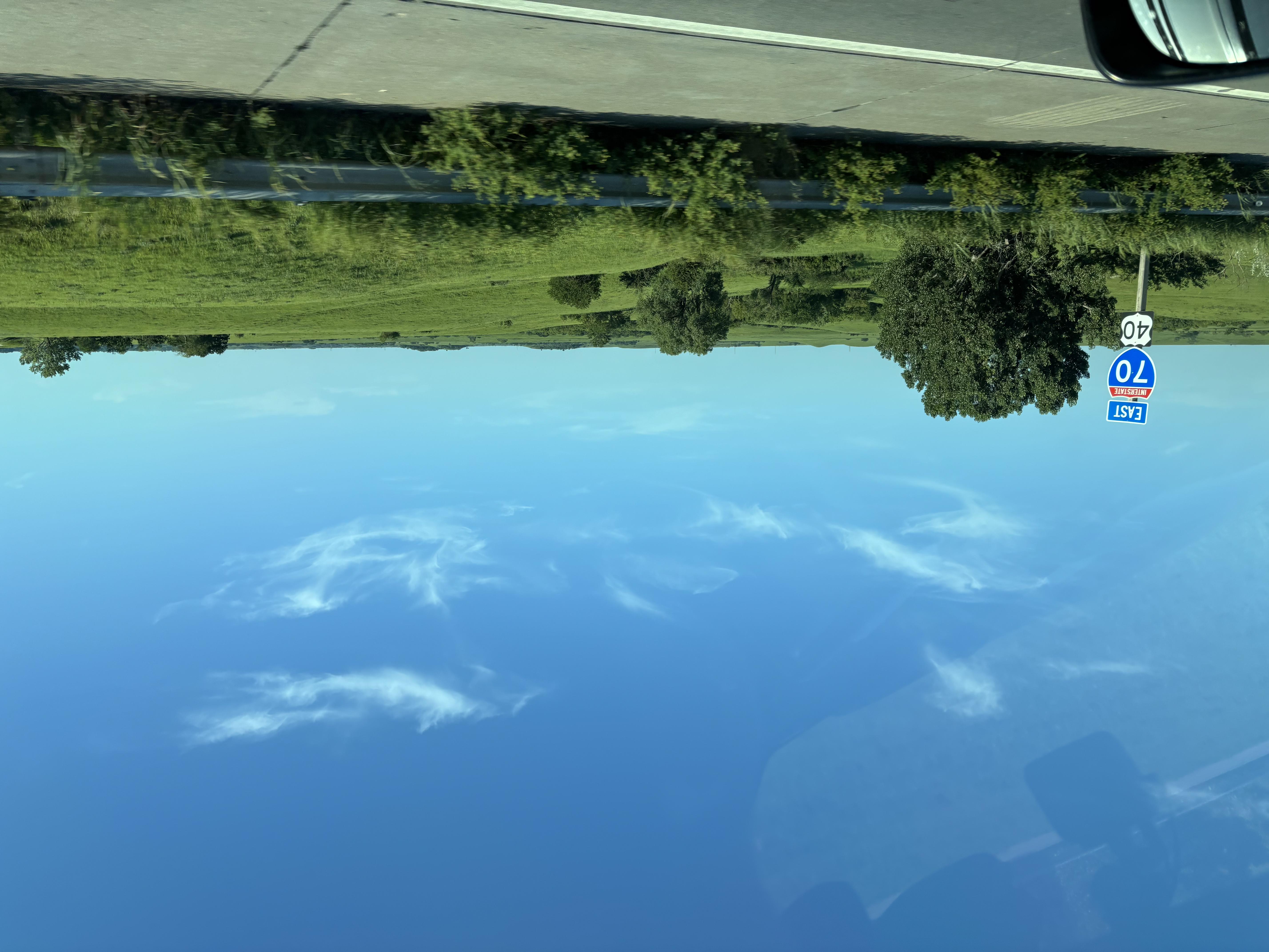
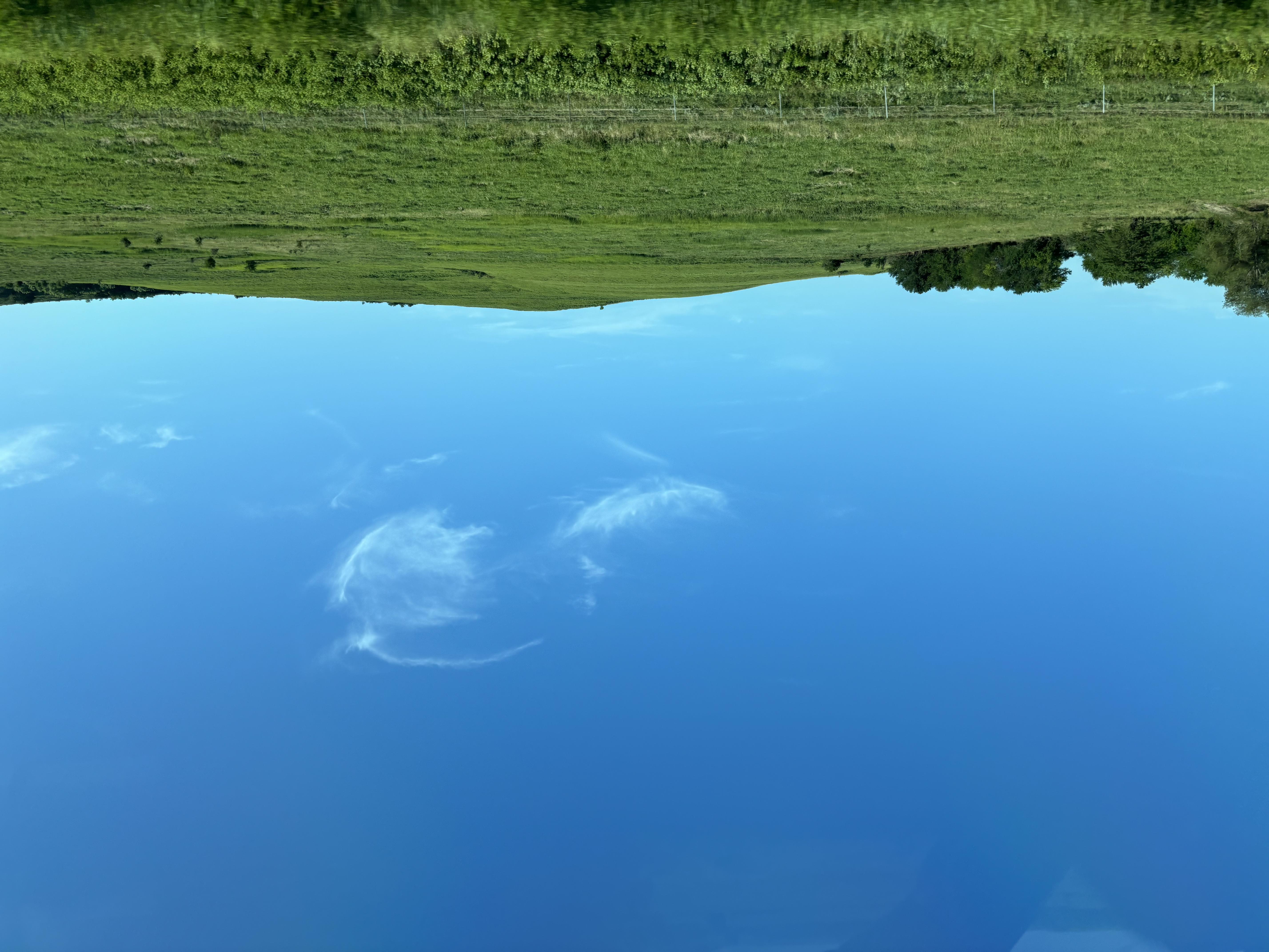
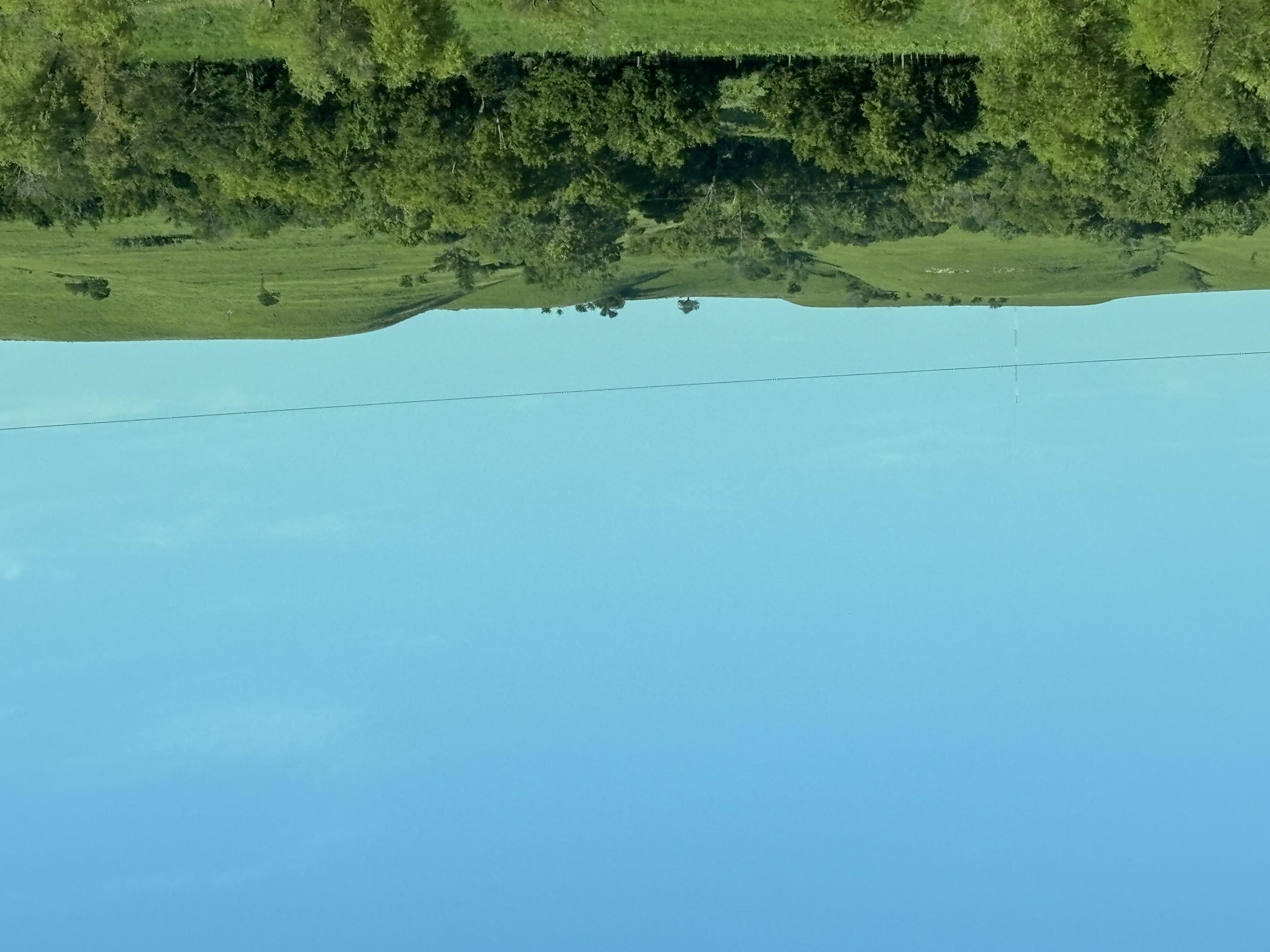
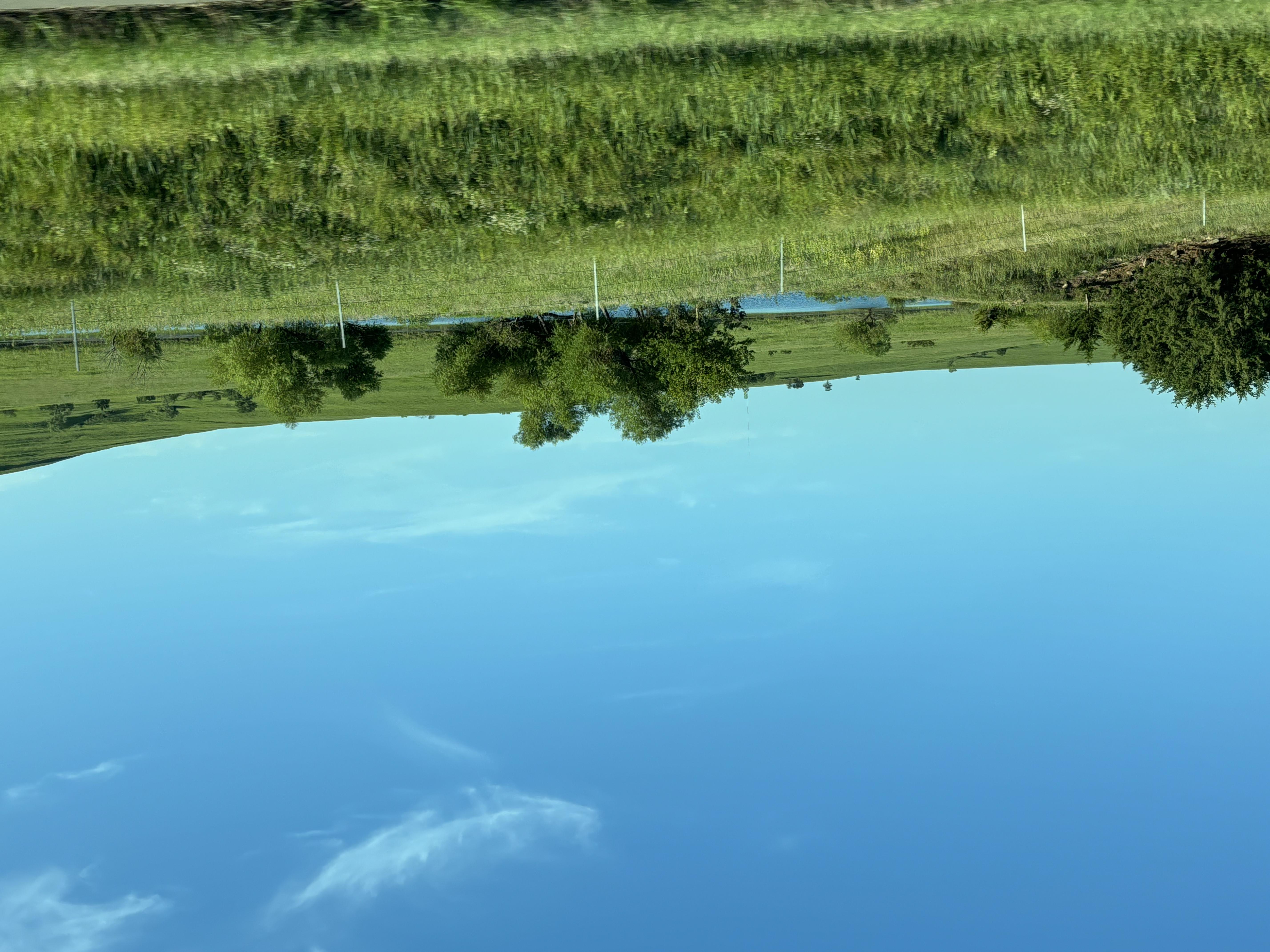
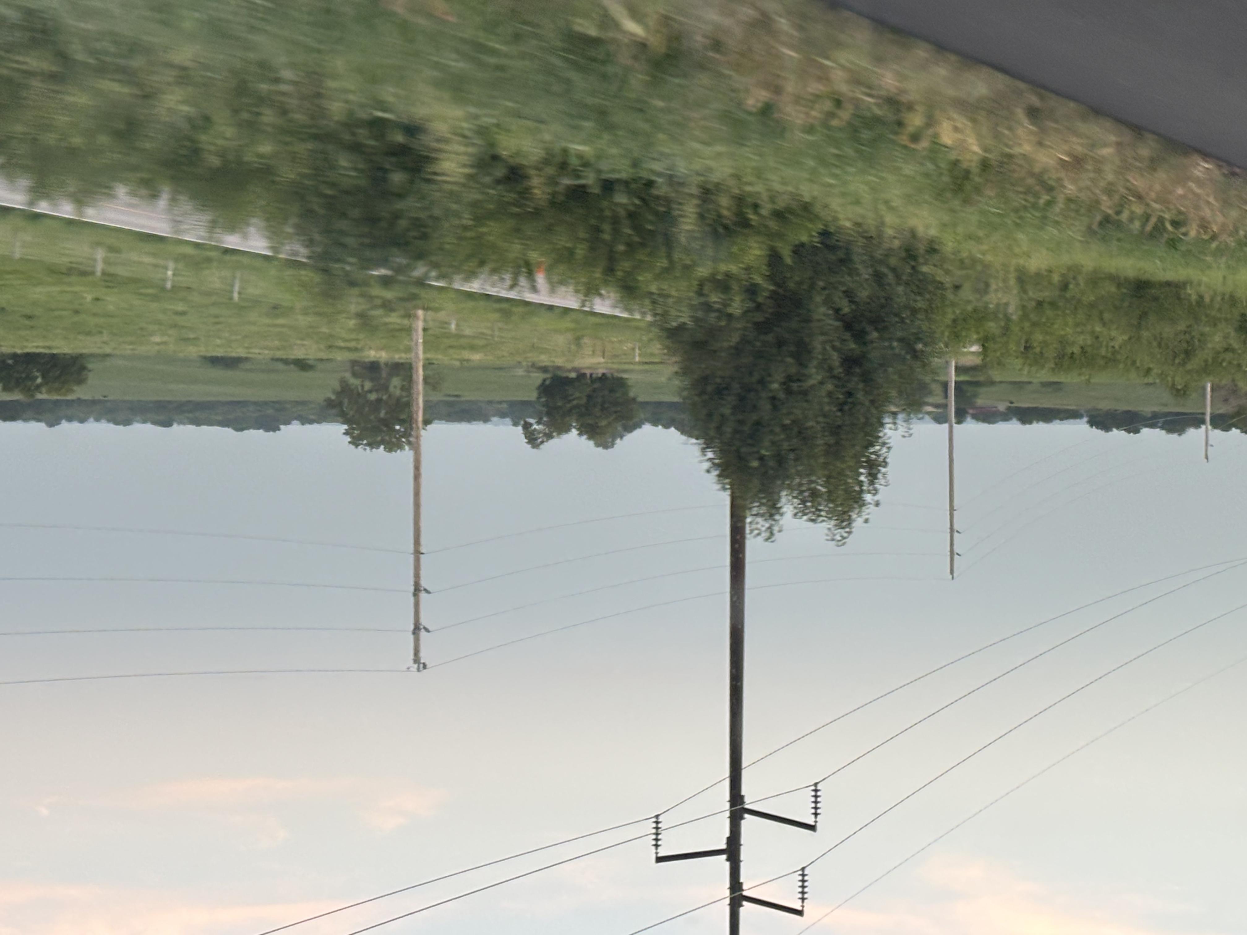
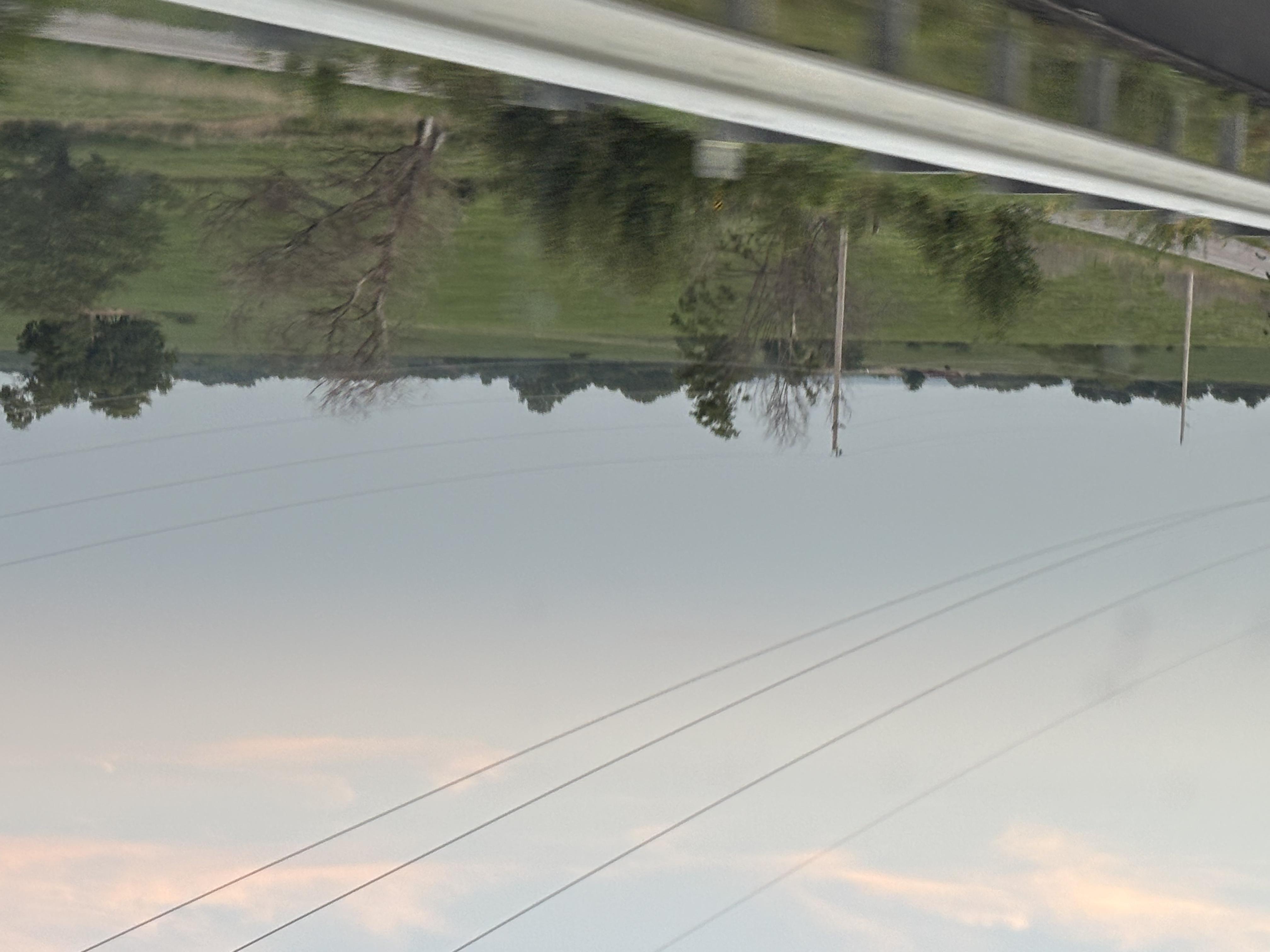
There are Chert (flint) nodules embedded in the limestone — this is literally where "Flint Hills" gets its name. The chert resists weathering, so it accumulates in the soil and made the area poor for row-crop plowing but excellent for native tall grass prairie grazing, which is why so much unplowed prairie surviving along the road.
Puttin' in for the Nite
After a very loooong drive the setting sun told the Mike and Bone that it was time to find a place to crash, fortunately it positioned the Boys right were they wanted to be, right across the mighty Missouri river from St. Josephs.