Main Page > 2006 Getting our Kicks on Route 66 !!!
Realizing they didn't even making out of Illinois and they had over 2,200 miles to go the Boys rose early very anxious to make up some time, but not before they first checked out the Cahokia Indian Mounds.
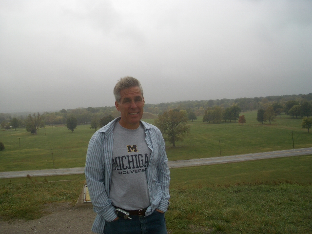
Chief Mike, on top of Monks Mound in Cahokia
The remains of the most sophisticated prehistoric native civilization north of Mexico are preserved at Cahokia Mounds State Historic Site. Within the 2,200-acre tract, located a few miles west of Collinsville, Illinois, lie the archaeological remnants of the central section of the ancient settlement that is today known as Cahokia.
Cahokia Mounds has been recognized as a U. S. National Historic Landmark, and the United Nations Educational, Scientific, and Cultural Organization (UNESCO) , in 1982, designated Cahokia Mounds a World Heritage Site for its importance to our understanding of the prehistory of North America. Cahokia Mounds is managed by the Illinois Historic Preservation Agency.
What's the deal with these doors ?!?. Walking up to the Cahokia Mounds Interpretive Center, there were these incredibly forbidden and extraordinarily heavy bronze doors, that are suppose to depict birds/ravens flying over Monks Mound, but were ridiculously heavy to the point old people and children would have no chance of opening them. The Center was very cool with displays of what the areas looked like as well as a museum of the artifacts.
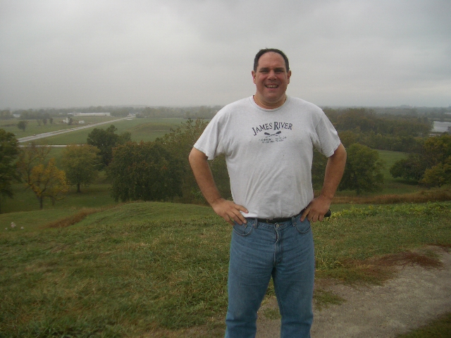
Warrior Bone on Monk's Mound
When was it populated?. According to archaeological finds, the city of Cahokia was inhabited from about A.D. 700 to 1400. At its peak, from A.D. 1050 to 1200, the city covered nearly six square miles and possibly 10-20,000 people lived here. Over 120 mounds were built through time, and most mounds were enlarged several times. Houses were arranged in rows and around open plazas, and the main agricultural fields lay outside the city. The site is named for a sub-tribe of the Illiniwek (or Illinois tribe, a loose confederacy of related peoples) - the Cahokia - who moved into this area in the 1600s and lived nearby when the French arrived about 1699. Sometime in the mid-1800s, local historians suggested the site be called "Cahokia" to honor these later arrivals. Archaeological investigations and scientific tests, mostly since the 1920s and especially since the 1960s, have provided what is known of the once-thriving community.
The fate of the prehistoric Cahokians and their city is unknown, but the decline seems to have been gradual, beginning in the 1200s and the site had been abandoned by A.D. 1400. Exactly where the people went or what tribes they became is yet to be determined. Depletion of resources probably contributed to the city's decline. A climate change after A.D. 1200 may have affected crop production and the plant and animal resources needed to sustain a large population. War, disease, social unrest, and declining political and economic power may have also taken their toll.
By 1000 or 1100 AD, the Indian community in and around Cahokia Mounds was exhibiting a host of characteristics, which was later to become common among Indian societies along the major river drainages throughout the Midwest. Not surprisingly, this has been termed the Mississippian culture.
• Large Communal Plazas.
• Monumental 'Public' Architecture.
• Palisaded Villages.
• Flat Topped Temple Mounds, sometimes paired with round top burial mounds.
• A particular set of religious symbols, found on pottery, copper and stone.
• The occasional practice of human sacrifice.
• Specific styles and decorations on (usually shell tempered) pottery.
• The practice of playing the chunkey game with a stone disc rolled down a prepared court.
Such 'traits' are physical remains that seem to indicate that Mississippian peoples shared a somewhat common (or at least similar) religious philosophy that governed their interpretation of the world and cosmos around them. Throughout the upper Mid-West, some think there were religious 'outposts' of Cahokia which interacted with local groups who may have retained much of their previous cultural (if not religious) heritage. Some areas to the south and east seemed to have adopted the Mississippian way of life more completely.
These physical traits suggest a hierarchical or ranked society and complex social and political system. When the Spanish and then French explorers visited such Mississippian peoples in the Southeast from the mid 1500s through the 1700s, they describe palisaded villages and a social hierarchy, especially among the Natchez Indians of Mississippi, that was led by the 'Great Sun' and composed of classes of Nobles and Stinkards. These accounts include first-hand witnessing of mass sacrifice upon the death of a 'Great Sun' and such intriguing comments as that of a set of 4 officials who held the responsibility for overseeing the details of such public religious ceremonies, etc. It does not take much imagination to suggest that these are vestiges of earlier practices that may have occurred during the heyday of Cahokia Mounds, some 400-500 years earlier.
Archaeologists have recently spoken of a 'big bang' emanating from Cahokia around 1050 AD, a literal population and cultural explosion. Physical evidence from the outlying upland settlements some 6 to12 miles east of Cahokia appear to indicate a sudden cultural change toward the rapid adoption of SOME Mississippian characteristics. Are the residents there being 'drawn in' to this new way of life, or is it being imposed upon them? At least one or more of the sites in the area seems to have been literally constructed largely at once, perhaps as a physical outpost of Cahokia.
So currently, we know more of the spread of this religion than of its origins. Without written accounts, we possess VERY LITTLE KNOWLEDGE of the details of this religious philosophy. We must be content to construct educated guesses from the sparse remains of various icons, pictographs and more modern snippets of traditional lore that seem to relate to these symbols and beliefs. To make matters more difficult, most of this art is also from later periods, many years after the coalescence of power at Cahokia, or after its collapse.After going through the Museum, Mike and Bone bemoaned the fact that they simply couldn't spend more time on Cahokia, but since it was already pushing 11:00 AM , and they planned to make it to at least Oklahoma City, they quickly traipsed up Monks Mound in a very cold wind and drizzle for two pictures and quickly hit the road west over the I-40 Expressway and into the "Not Really Show Me" State (See the 1984 Tour !) of Missoura !
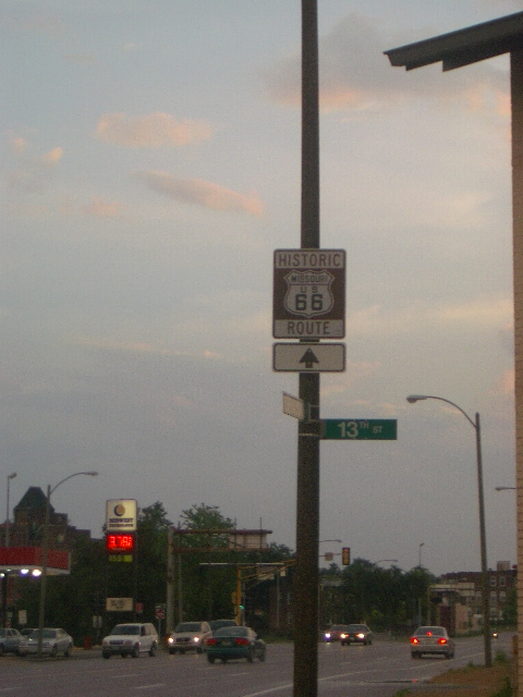
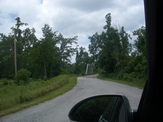
Route 66 in Missouri
The "Mother Road " started appropriately enough in St. Louis, the Gateway City, where many, many Americans traversed west. Equally appropriate is that Route 66 starts in the flat prairie topology of a big city St. Louis, and end in the rural, mountainous Ozarks in Southwest Missouri.
Burgering into St. Louie !!
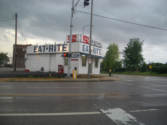
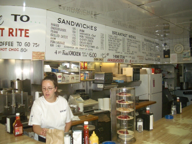
Just as you cross the bridge into St. Louis on I-40 Route 66 picks up by a historic Burger Joint (where the burgers are still $1.50). Eat-Rite is close enough to Busch Stadium to still be a favorite of Card fans and Bone as weel who enjoyed 4 of the greasy delite !
Storming out of St. Louie !!
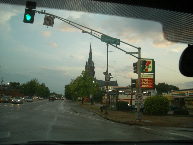
The weather which chased the Boys out of Cahokia followed them furiously into the "Show Me State."
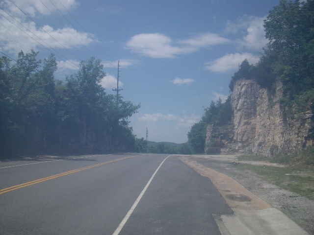
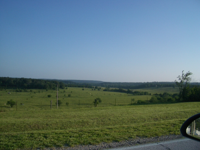
Clearing Skies in the Ozarks !
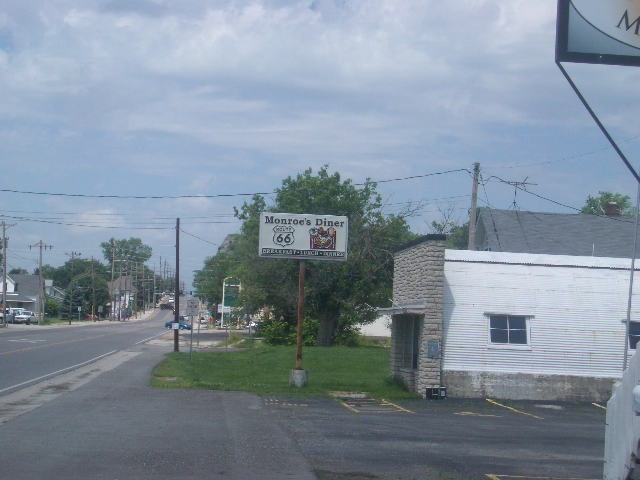
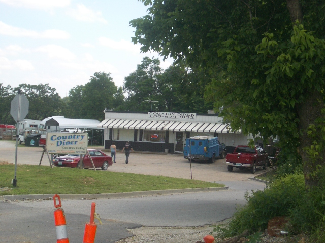
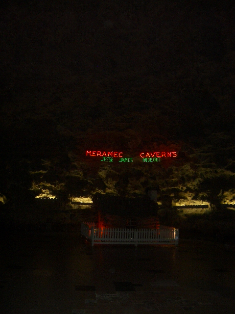
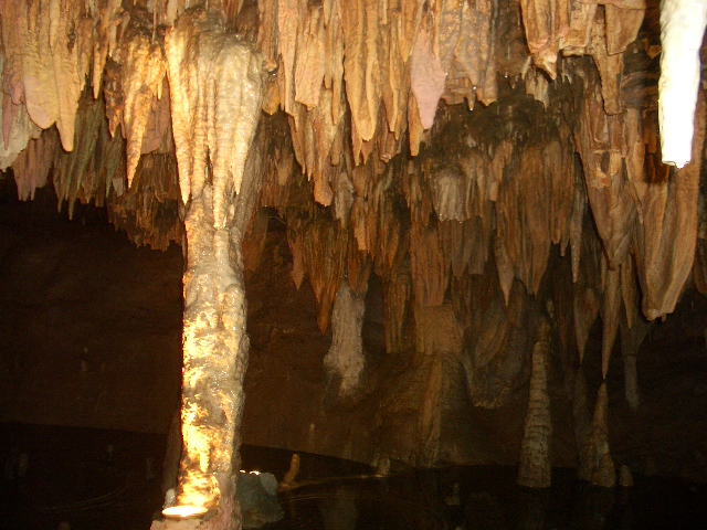
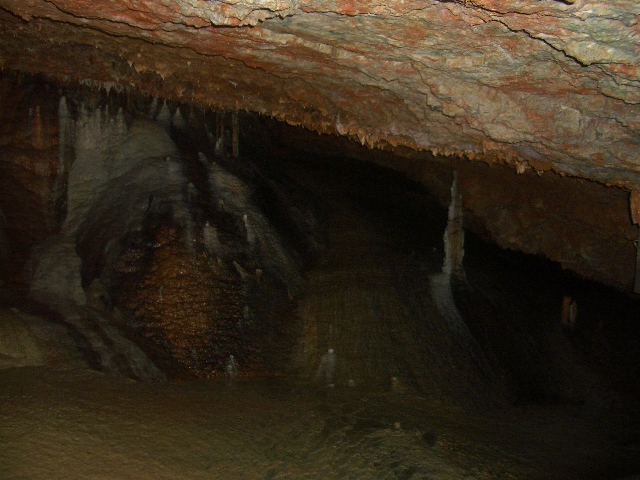
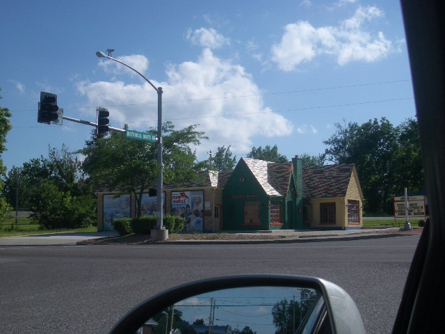
As the Boysstopped in Stanton to check out the Antique Museum and Gas Station to replenish their supplies of gas and coffee (the major drink of the Trip). Bone decided to check out the Meramec Caverns, where allegedly Jesse James hid out.
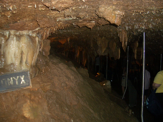
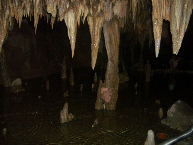
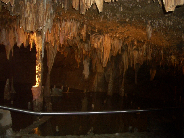
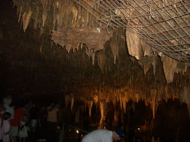
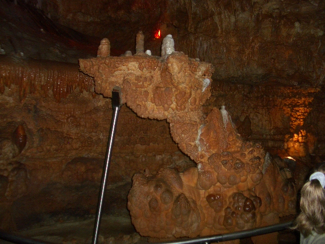
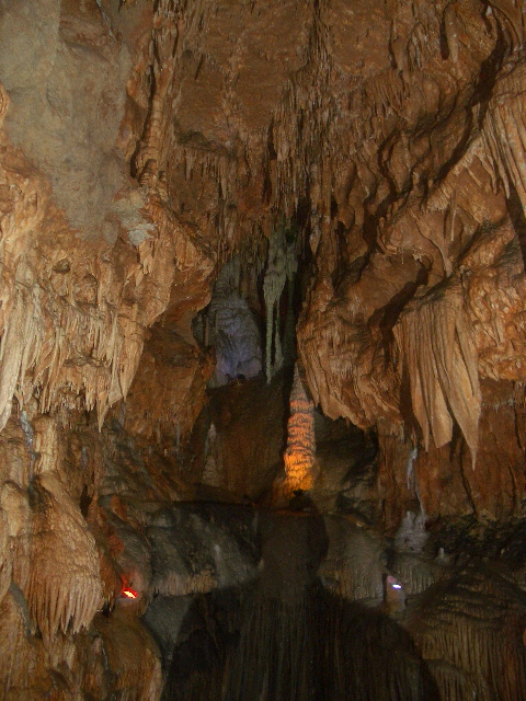
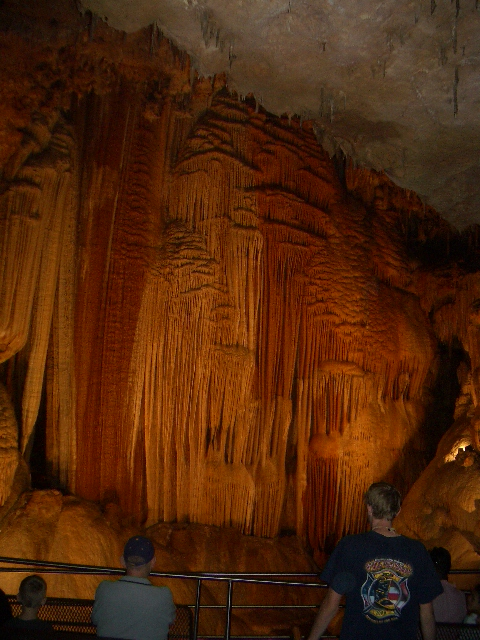
Spelunking the Meramec Caverns !
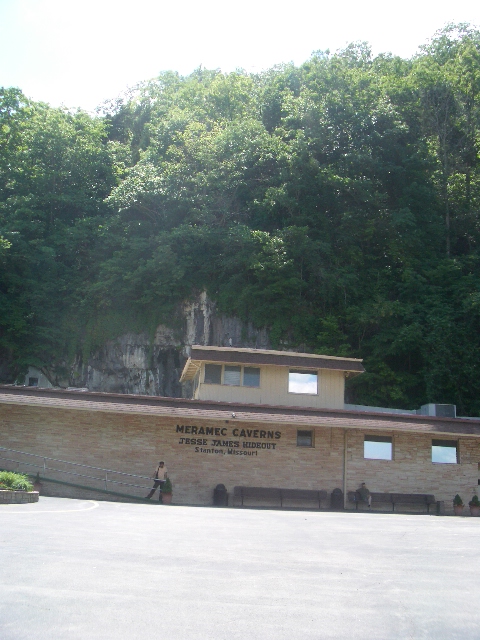
Missouri is also known as the Cave State, with Meramec in Stanton, the largest of these cavern systems. These caves have been known since 1720, when the French explorer Philipp Renault was lured to the caves by Osage Indian legends. The Osage told Renault of a gigantic hole in the earth they would use for refuge when they were caught in extreme weather. The 'natives' also claimed along the walls of the cave were 'veins of glittering yellow metal', which captured the Frenchman's attention. Mining For Saltpeter As the boat reached the shore, Renault could immediately see what the Indians had spoken about. In front of the boat, just off the riverbank, the men of the Expedition party saw a gaing 50 feet wide and 20 feet hight hole in the bluff. Philipp Renault had inadvertently discovered the largest cave West of the Mississippi, but, inside the cave, it wasn't gold he discovered as the Native American's legend had promised, it was saltpeter. Renault eventually named the cave, Saltpeter Cave, after the abundance of the mineral. Saltpeter, or potassium nitrate, was a key ingredient for the manufacturing of gunpowder at that time, and Renault's discovery launched 144 years of saltpeter mining from the cave that would be known, years later, as Meramec Caverns.
The history of saltpeter in Meramec Caverns ties directly to the history of the cave itself for years. Many disputes for control of the cave and its precious mineral would follow the 1720 discovery, all the way until the Civil War. In 1864, Confederate troops destroyed a Union held gunpowder facility inside of the cave. In addition to the bringing down of Union forces, the Southerners also brought an abrupt end to saltpeter mining in Meramec Caverns.
Caving for the Cowering James Brothers
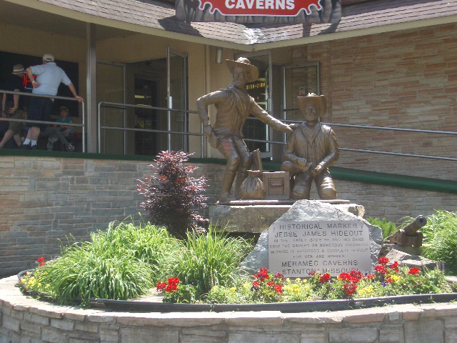
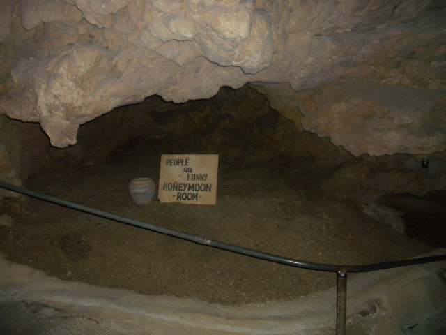
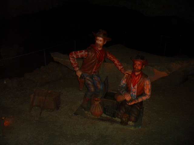
Based on history and artifacts found, Jesse and Frank James had used the Caverns to hid their "loot" and evade the Law. Their artifacts are still in the Cave System.
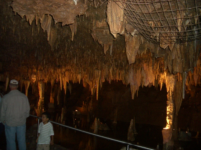
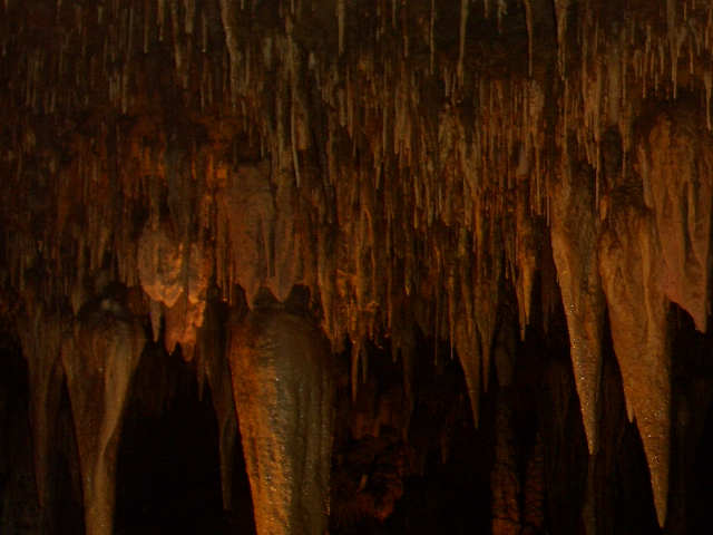
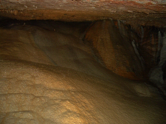
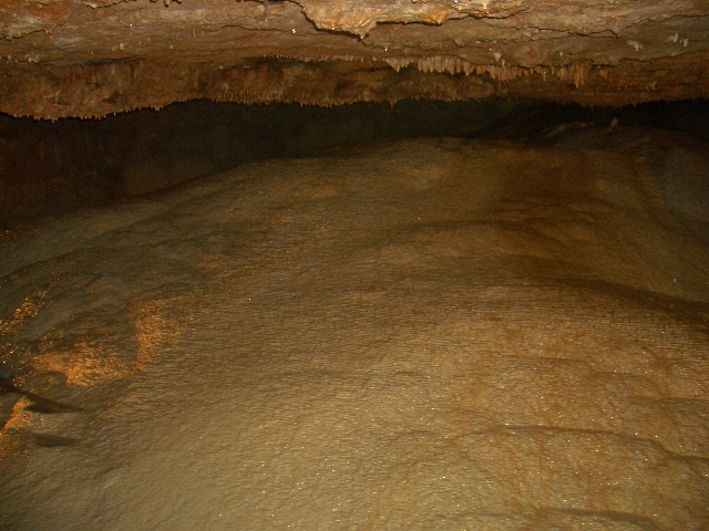
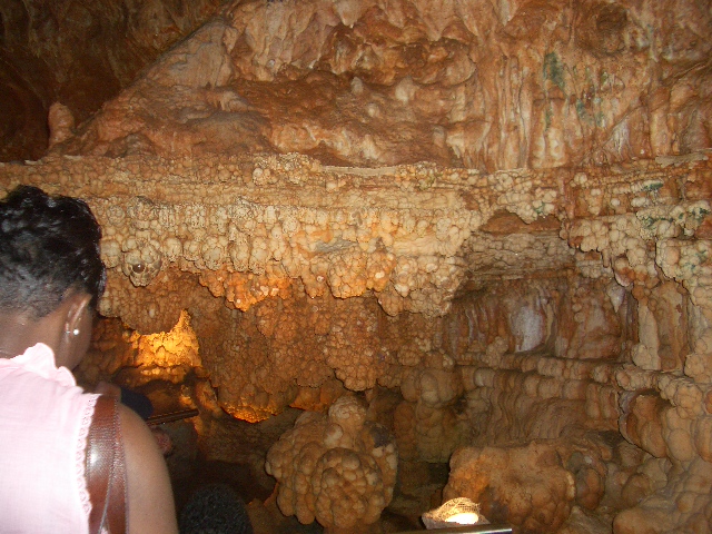
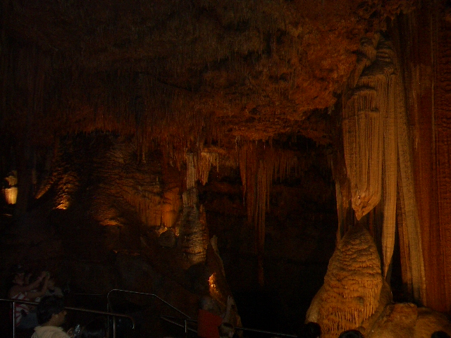
Bone found the caverns a pleasing 50 degrees which it is year around., After an hour they continued trekking along the "service drive", also known as Route 66 !
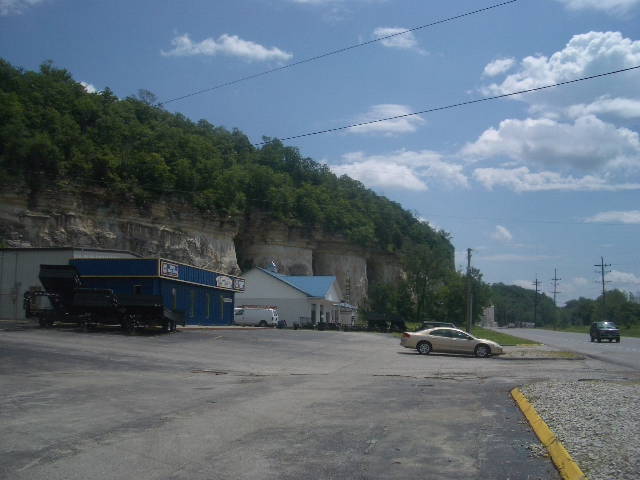
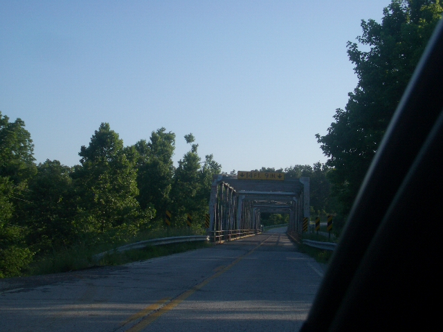
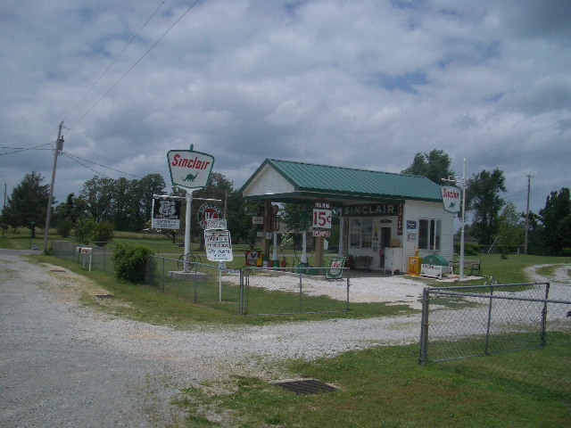
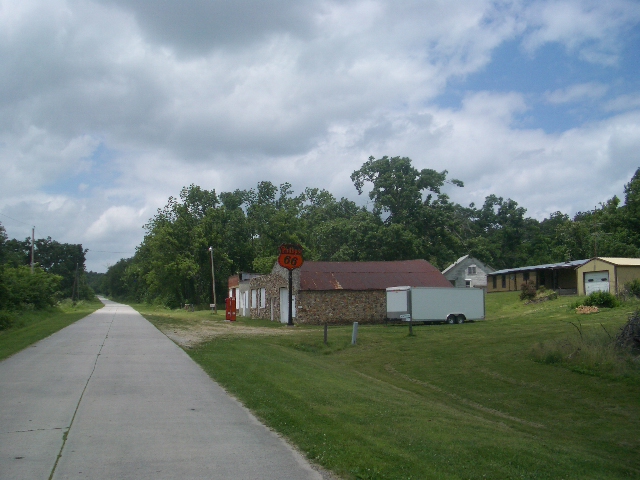
Route 66 Speed Dial: Cruising quickly through the Ozarks in Missouri

One big-ass Rockin Chair !
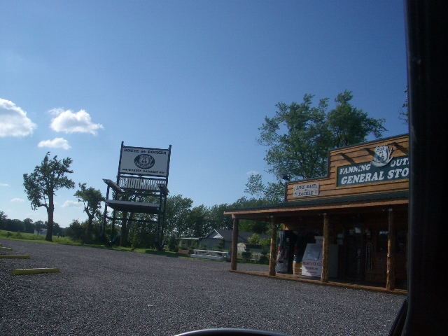
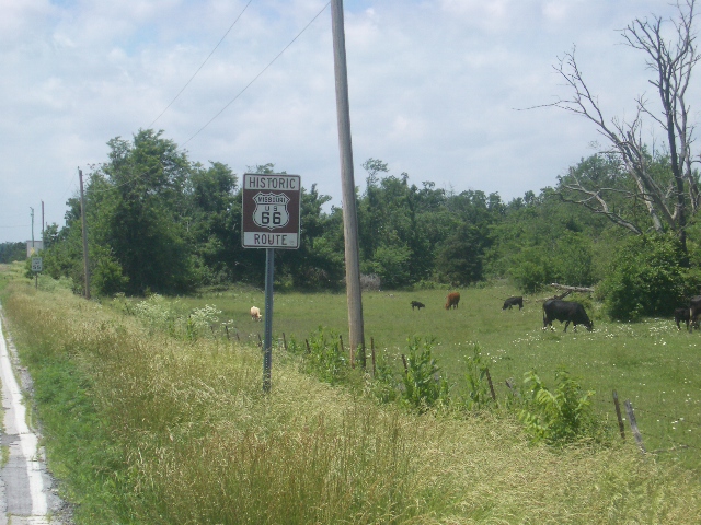
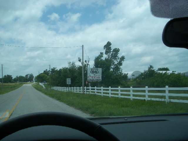
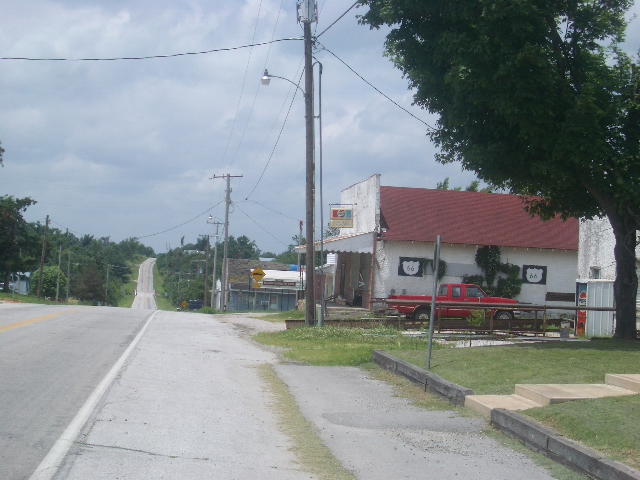
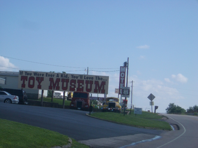
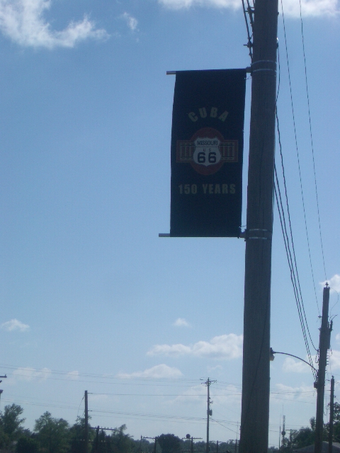
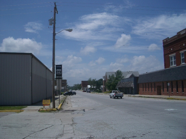
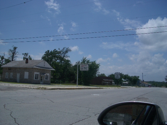
More Route 66 Curiosities
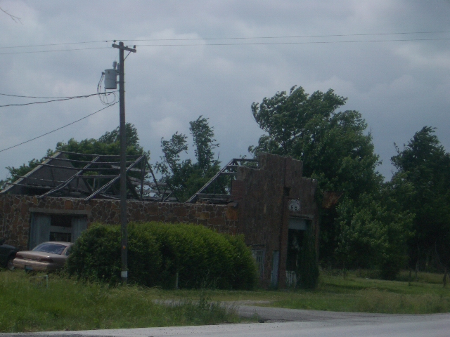
Un-Civil Neighbors in Carthage
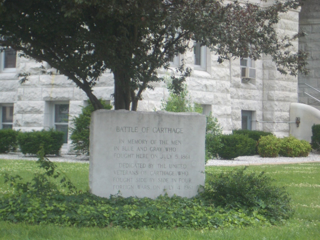
As the Boys in the Southwestern most
part of
Learning that Sigel had encamped at
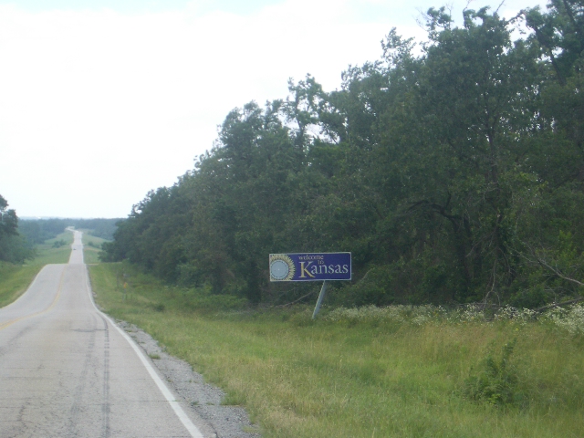
After the brief stop the Boys headed back into the countryside and on into the Sunflower State of Kansas !
Route 66 in Kansas
Route 66 runs through only 13 miles of the Sun Flower State. In this part of Kansas there are no amber waves of grain but a continuation of the remnants of the Ozarks and mining country. Mike and Bone barely noticed K-State but did notice another Uncivil Civil War Site . . . . . .
Wild Bill Quantrill !
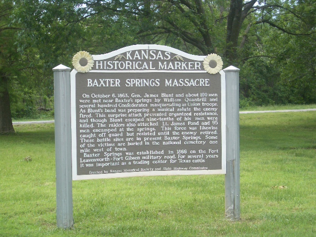
In the short few mile of Kansas on Route 66 the Boys stopped briefly to check out the Baxter Springs Massacre Site where on October 6, 1863, Gen. James Blunt and about 100 men were met near Baxter's springs by William Quantrill and several hundred Confederates masquerading as Union troops. William Quantrill was a Missouri-based Confederate guerrilla leader during the American Civil War, who is credited with “teaching” Jesse and Frank James guerilla tactics they later used in their robberies. As Blunt's band was preparing a musical salute the enemy fired. This surprise attack prevented organized resistance, and though Blunt escaped nine-tenths of his men were killed. The raiders also attacked Lt. James Pond and 95 men encamped at the springs. This force was likewise caught off guard but resisted until the enemy retired. These battle sites are in present Baxter Springs. Some of the victims are buried in the national cemetery one mile west of town.
After a very brief stop the Boys moved on into ...... Oklahoma !
Route 66 in Oklahoma
Even though Route 66 starts in Chicago, the idea originated in Oklahoma. When Cyrus Avery of the Joint Board of State and Federal Highways in the 1920's was establishing the system of numbered routes in the country, he envisioned a major artery passing through the heart of his own state, hence it was no mistake that Route 66 cuts such a sweeping swath directly through the center of Oklahoma.
Mike and Bone barely noticed the little town of Quapaw, other than make fun of the name as they listened to "Blood on the Moon", which was a book on tape about John Wilkes Booth plot against Lincoln and his subsequent death.
Being Tiger fans, the Boys had no interest in visiting Commerce, the birthplace of Mickey Mantle, but they did toast the "Mick" in passing. The Boys next passed Claremont, the home and burial ground of Will Rogers, rather than stopping the Boys decided to pay homage to Will in Santa Monica !!
Mike and Bone were OK on Route 66 in Oklahoma City !
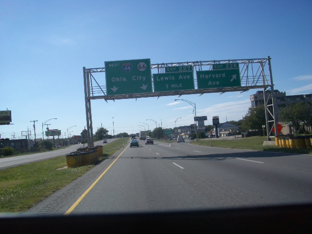
Stopping in Oklahoma City for gas around 5:00 the Boys looked around at a city of about 500,000, and decided that it did not appear all that interesting compared to what they envisioned the cool cow-town of Amarillo, and chose to keep going all the way to Tehas for the evening.
Winging it through Western Oklahoma
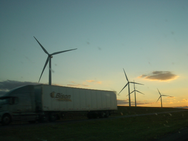
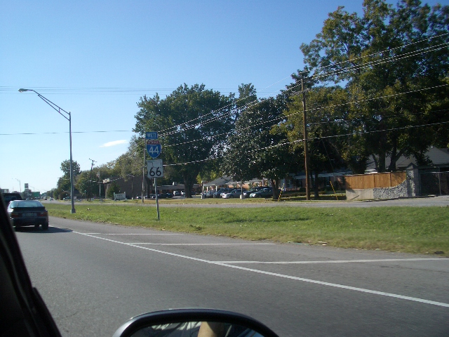
As it grew dark, the Boys drove by mile after mile of windmills, gently whirring along the ever increasingly flat landscape through the small border town of Texola and into the Lone Star state.
Route 66 in Texas
As proud as it is to the largest state in the contiguous 48, and its heritage as a former republic, ranks next-to-last in the mileage it can claim along the path of Route 66. That's because the Mother Road crossed the state through what is known as the Texas Panhandle, That panhandle, the northernmost extension of the state, is but an eroded stump compared to what might have been. During Texas early days of statehood (1845-49) it laid claim to territory almost 50 percent larger than it current boundaries, including portions of present day Oklahoma, New Mexico, Kansas, Colorado, and Wyoming. Since some of this territory was contested by other factions within the U.S., emotions ran high on the subject. At the same time, the former Republic of Texas (1836-45) had incurred significant debt in its struggle for independence. Texas therefore ceded about one-third of its territory in exchange for $10,000,000 in an agreement known as the Compromise of 1850 (Henry Clay's final, famous legislation.) Much of the territory given up in 1850 makes up the portion of present-day New Mexico east of the Rio Grande. Texas, as someone stated is a State of Mind. and fittingly there's little to indicate that just moments after leaving Texola, one has entered the Lone Star State. After passing the state line there is the characteristic, classic segmented concrete which imparts that rhythmic, ka-thump, ka-thump, that Mike and Bone suffered through.
Passing in the dark through towns such as Shamrock (Ireland in Tehas ?!?), Lela (with its Rattlesnake signs), McLean, and Conway into Amarillo around 9:00 PM, with a Texas-size thirst and appetite, which the Boys planned to quench at the Big Texan !!!
Everything is Big in Amarillo, Texas !!
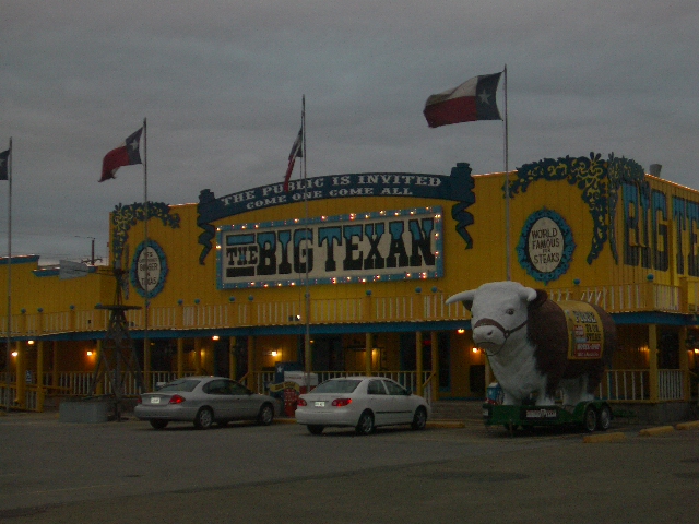
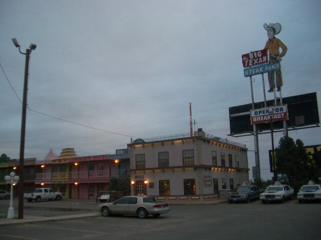
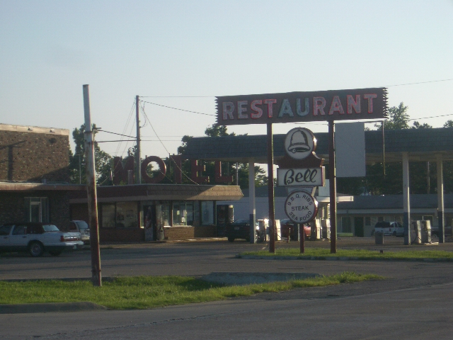
What's up with this schlock !? In 1960, the Big Texan Steak Ranch opened it's doors alongside old Route 66 in Amarillo, Texas. On evening a hungry cowboy ventured in bragging that he was so hungry that he could "eat the whole, darned cow." Big Texan founder, R.J. "Bob" Lee started cooking him steaks. When the cowpoke finally hollered "calf rope," he had consumed 4 1/2 pounds of tasty Texas beef. Bob vowed from that day forward the dinner would be served "FREE" to anyone who could consume it in one hour. The FREE 72oz. STEAK dinner is still flourishing at the Big Texan. More than 40,000 people have attempted to consume the Free 72oz. Steak dinner since 1960. About 7,000 have succeeded. People from all over the world continue to visit us to take the challenge and claim the bragging rights.
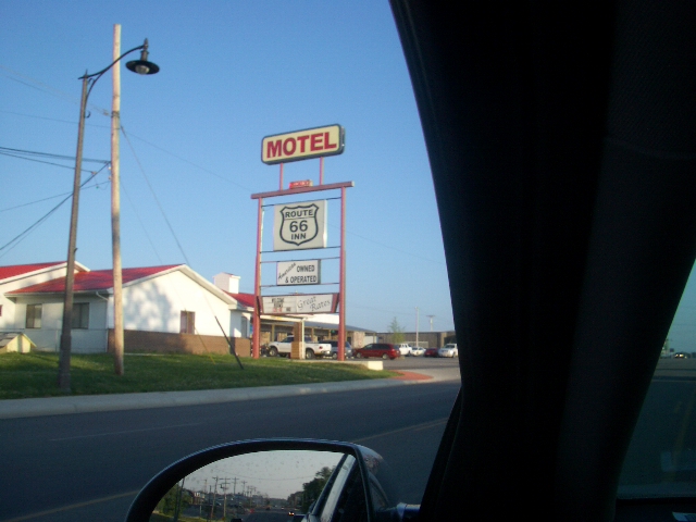
Mike and Bone checked into the attached Motel of the Big Texan, and scurried over to the restaurant for some beef and brews !!!
Slurping Shiner Bocks in the Big Texan !!
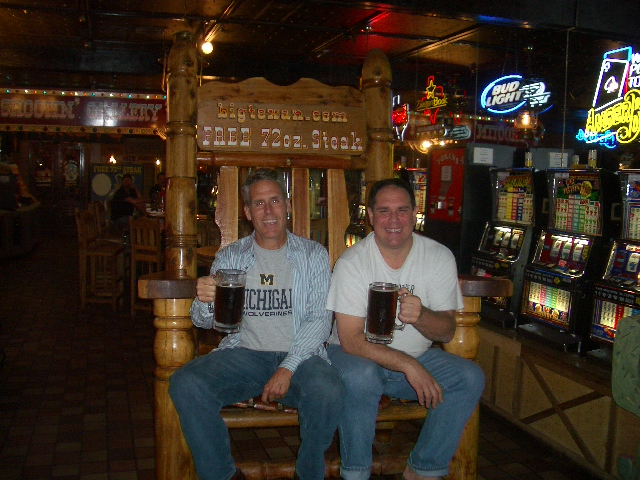
Mike and Bone took one look at the 72 ounce steak in the Display Case and said "That ain't good meat !!" But the half-gallon Shiner Bocks DID look good, along with a couple of 22 ounce Rib-eyes went down quite well. As they worked through the steaks and more Shiner Bocks, they boys dickered with some truckers from Illinois regarding the Tigers vs. A's American League Championship Series. After 3-4 more Shiner Bock's the boys retired around 1:00 AM with over 800 miles and 3 states checked off of the Route 66 Tour.