Day 2: Peaking on Pike's Peak
Main Page > 2013 Bone's Last Stand ! >
Mike and Bone woke early knowing it was gonna be a long day in the car. One of the Boys "signatures" on a Mike and Bone Trip is driving ridiculous long distances on those lone and dusty roads out West. This trip was to be no different!
Prepping for a Long Ride
Before the Boys headed out to Pike's Peak, they needed just little fuel for the morning and headed to a very hipster downtown area with a cool Organic Coffee Store with a funky barista, and New York quality bagels!
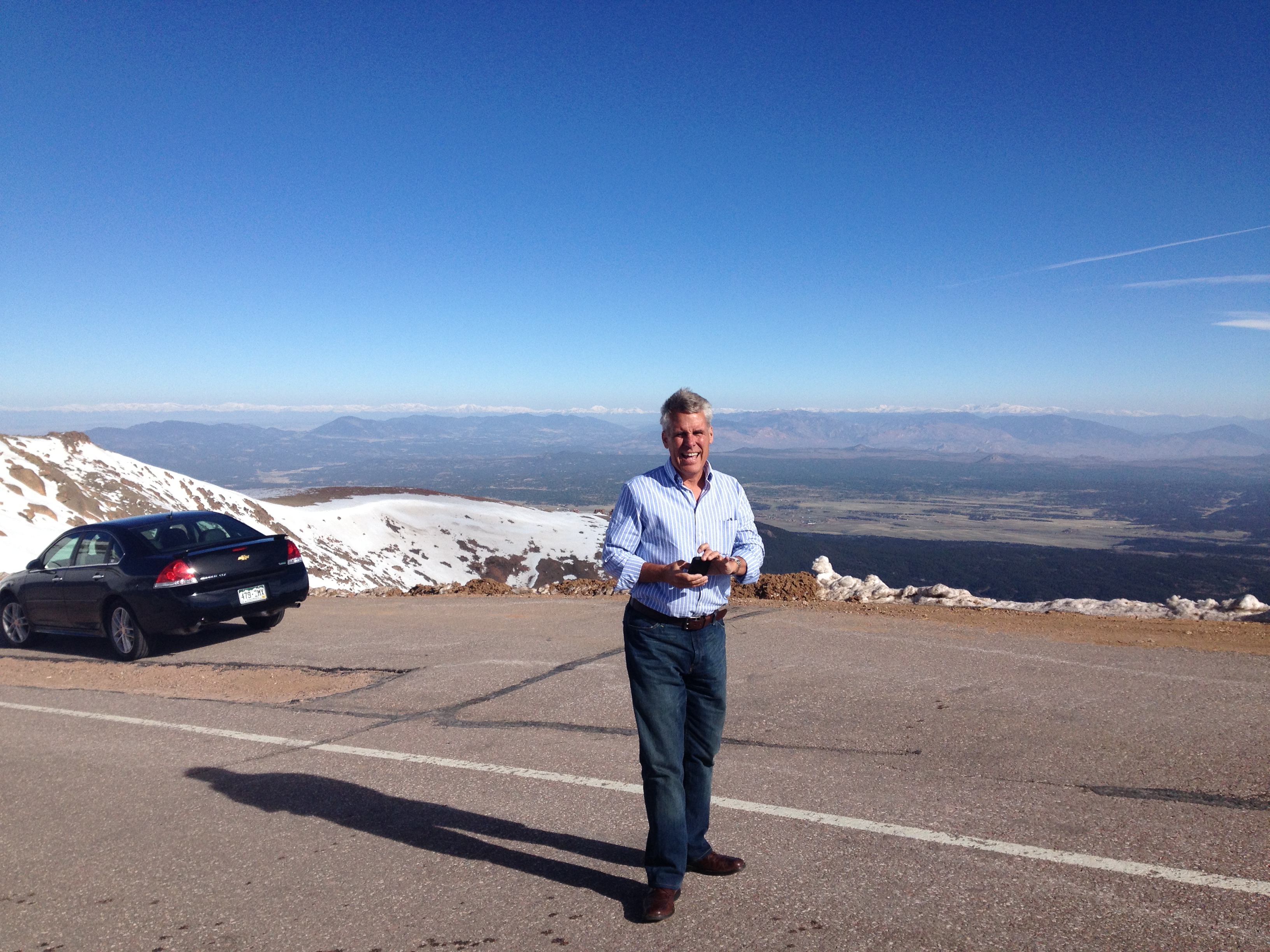
Prepping for the Peak !
Those couple of cups of really good Joe and bagels were need for fuel for the long drive up as Mike and Bone headed into picturesque Pike Peak National Park!
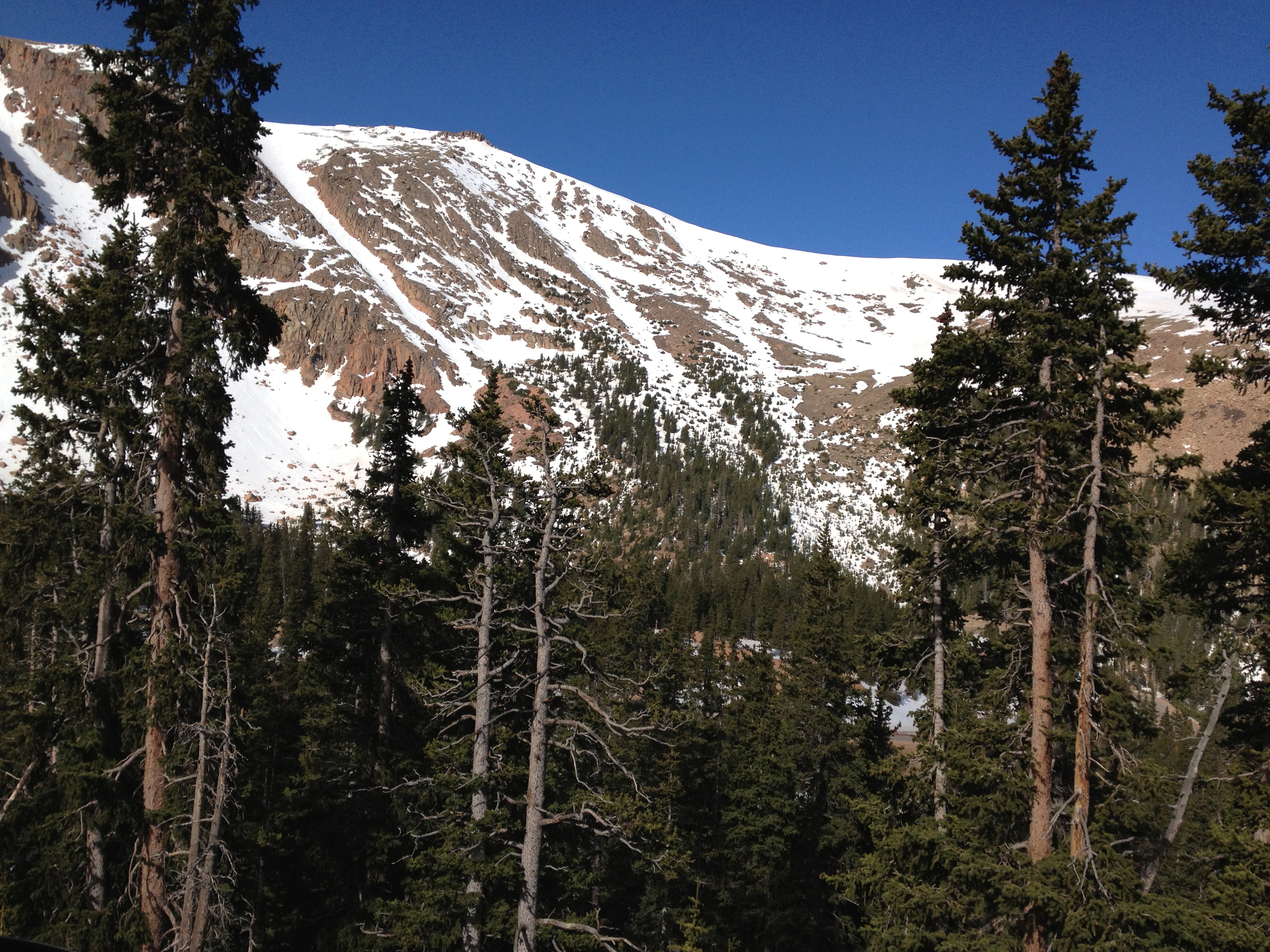
The Trip up the Peak: Stage 1
Though not the highest peak in the state, Pikes Peak is the most "traveled to" mountain in North America and second in the world only to Mt Fuji in Japan (Bones next stop.) Those who have reached the summit understand what Kathy Lee Bates felt when she reached the summit, and was inspired to write the poem "America the Beautiful."
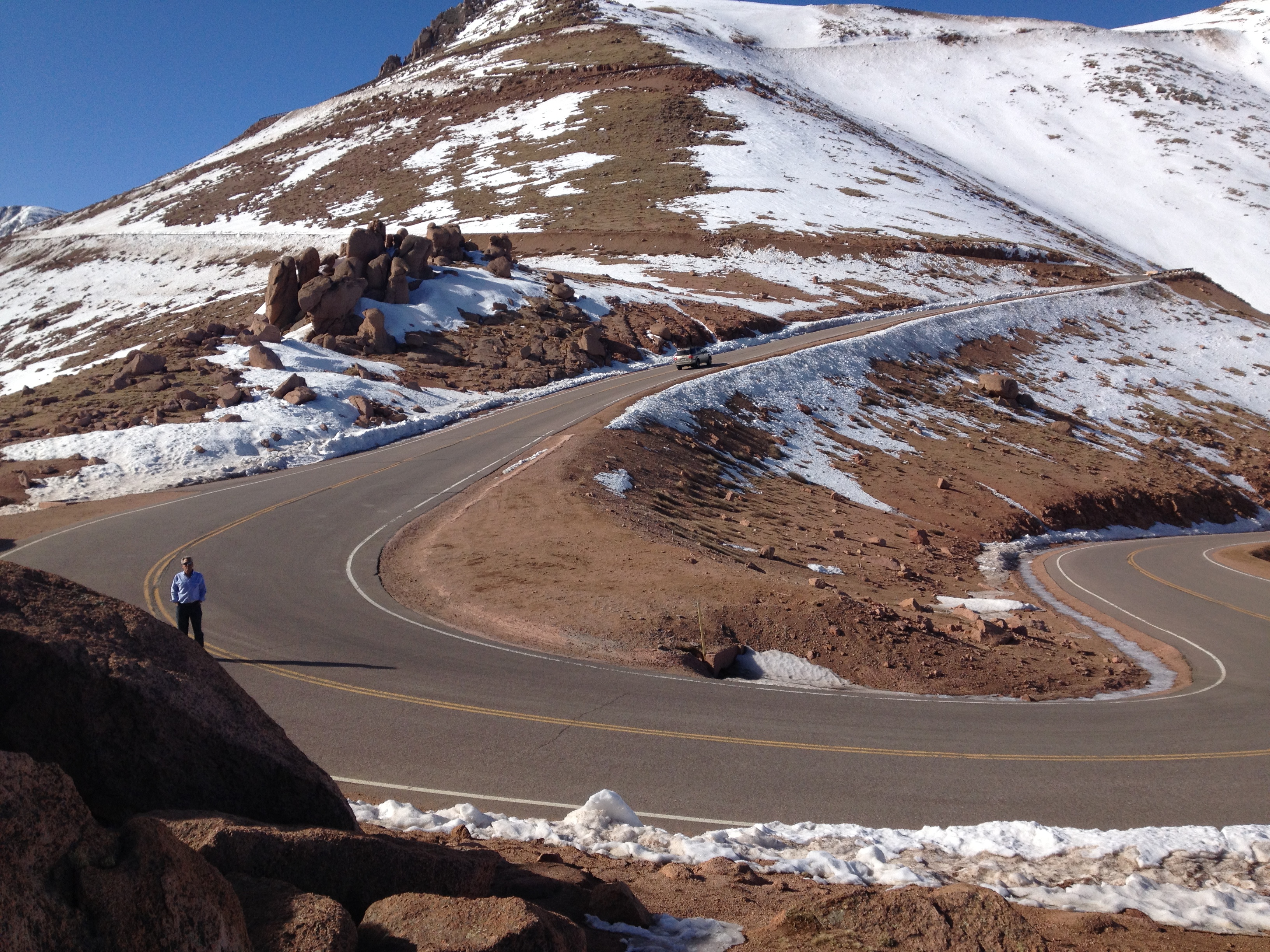
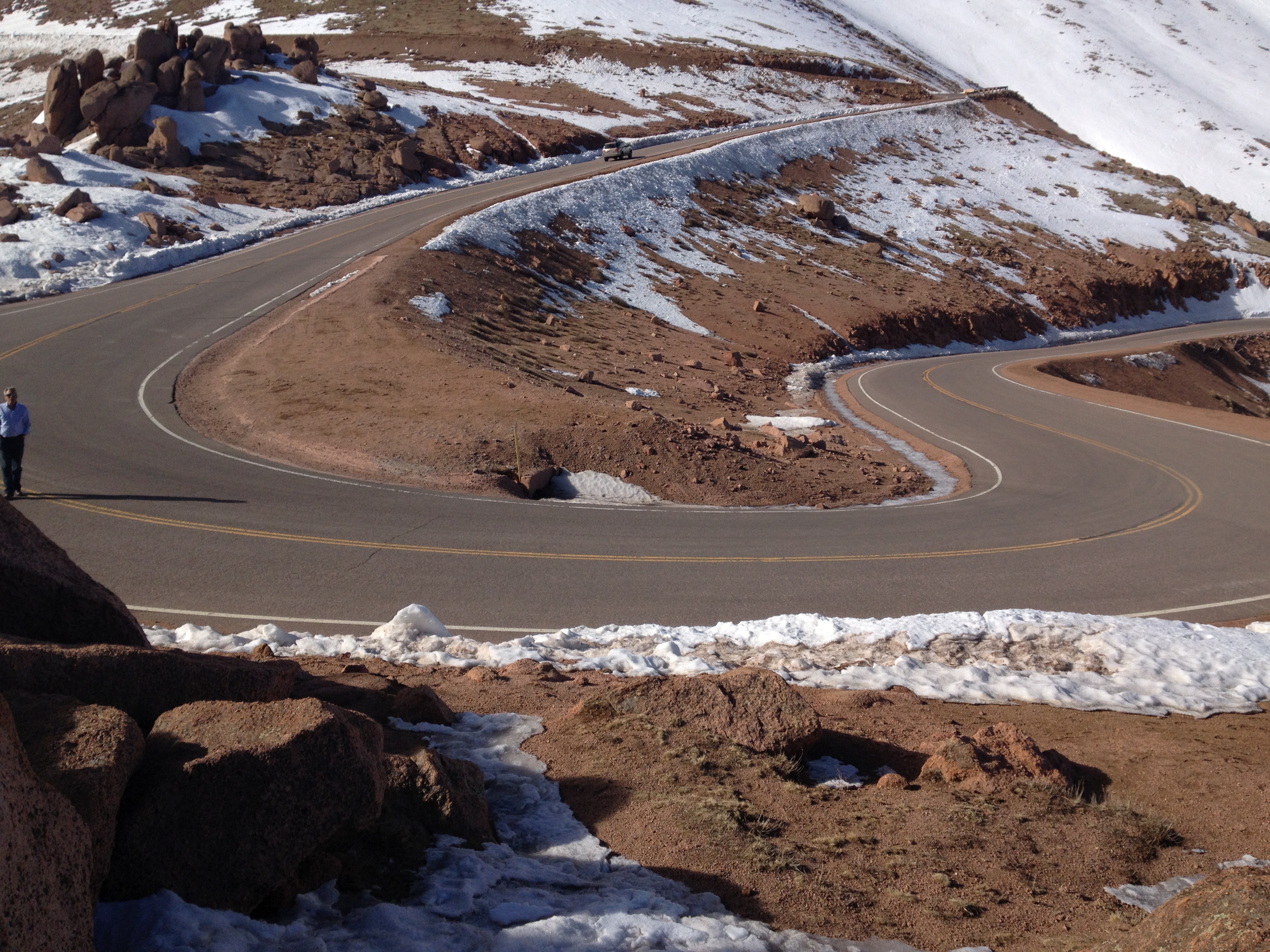
The Trip up the Peak: Stage 2!
Having driven to Pike's Peak summit before, Bone knew that the road up was in two stages.
-
Stage 1: "Alpine View" The picturesque trip below the tree line with mountain lakes, valleys.
-
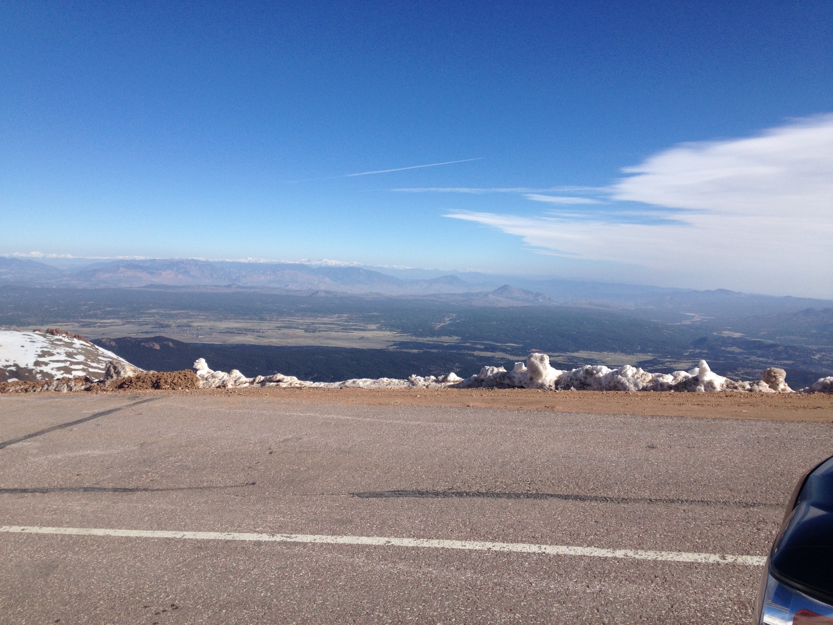
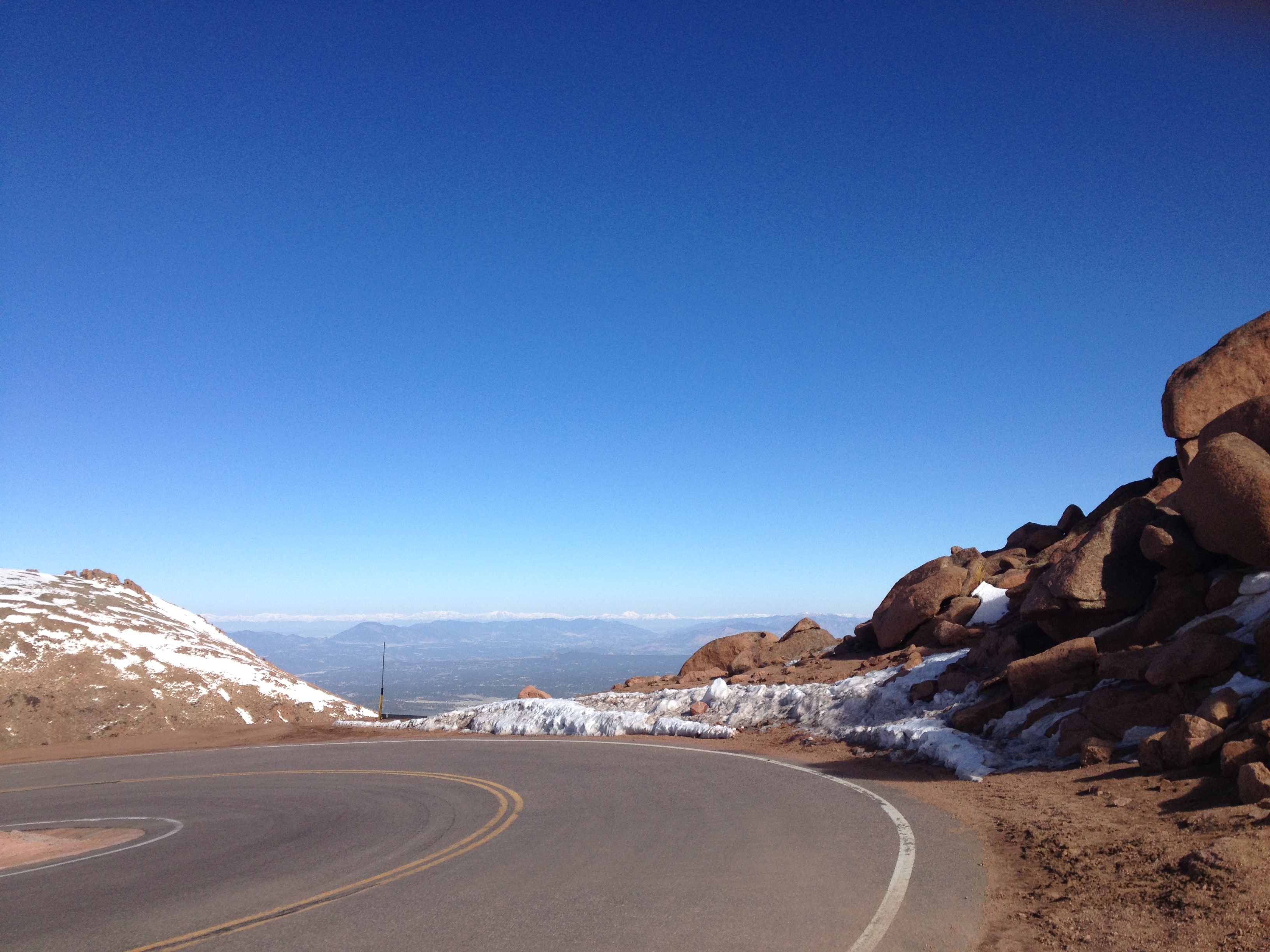
Stage 2. "Pee View" At the top of the tree line is a Ranger Station that makes sure that your vehicle has enough gas and that your brakes can make the trip down. It is called the Pee View because some of the switchbacks make you want to pee your pants!
"That is a long ways down!"
One of those Da**ed Switch-backs!
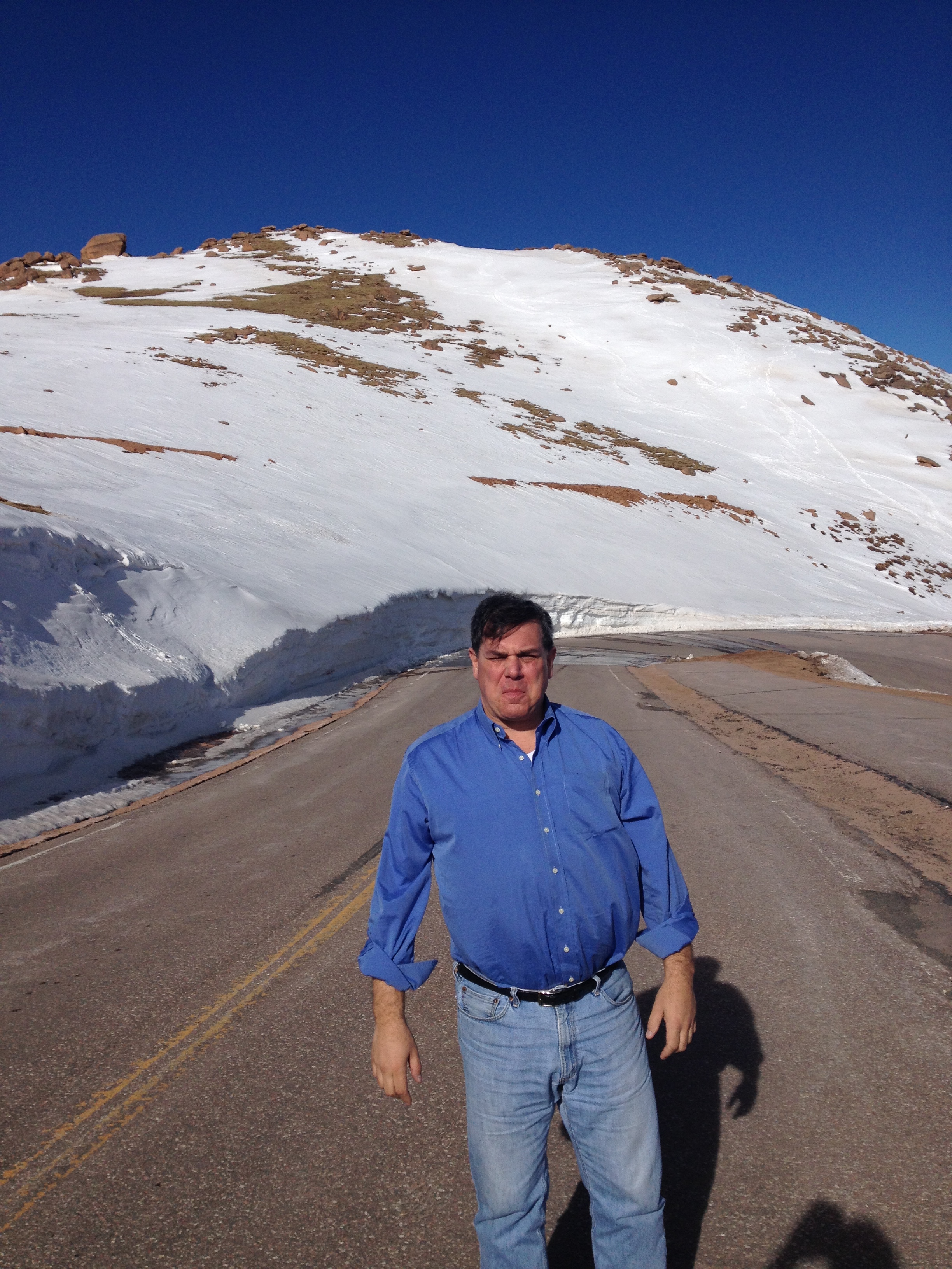
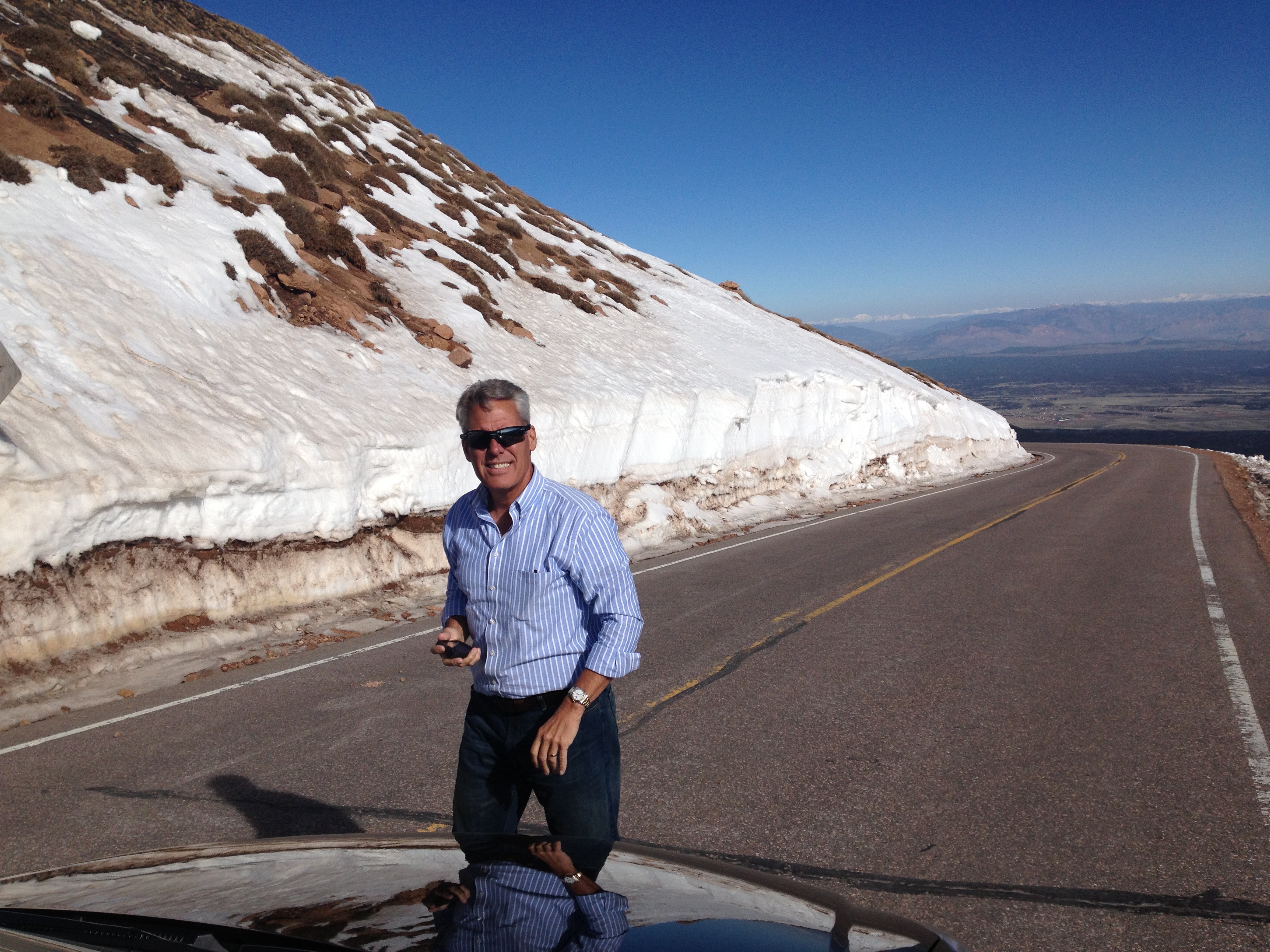
Then it turns into a series of very scary, narrow, very steep switchbacks with no freakin’ guardrails!
Now Mike and Bone chatted quite a bit on life, work, Meeechigan football on the first stage. Stage 2 both became noticeably quieter with each more hair-raising (and urine-liberating!) steep switchback!
But Mike and Bone have ice in their veins and will never be denied!!!
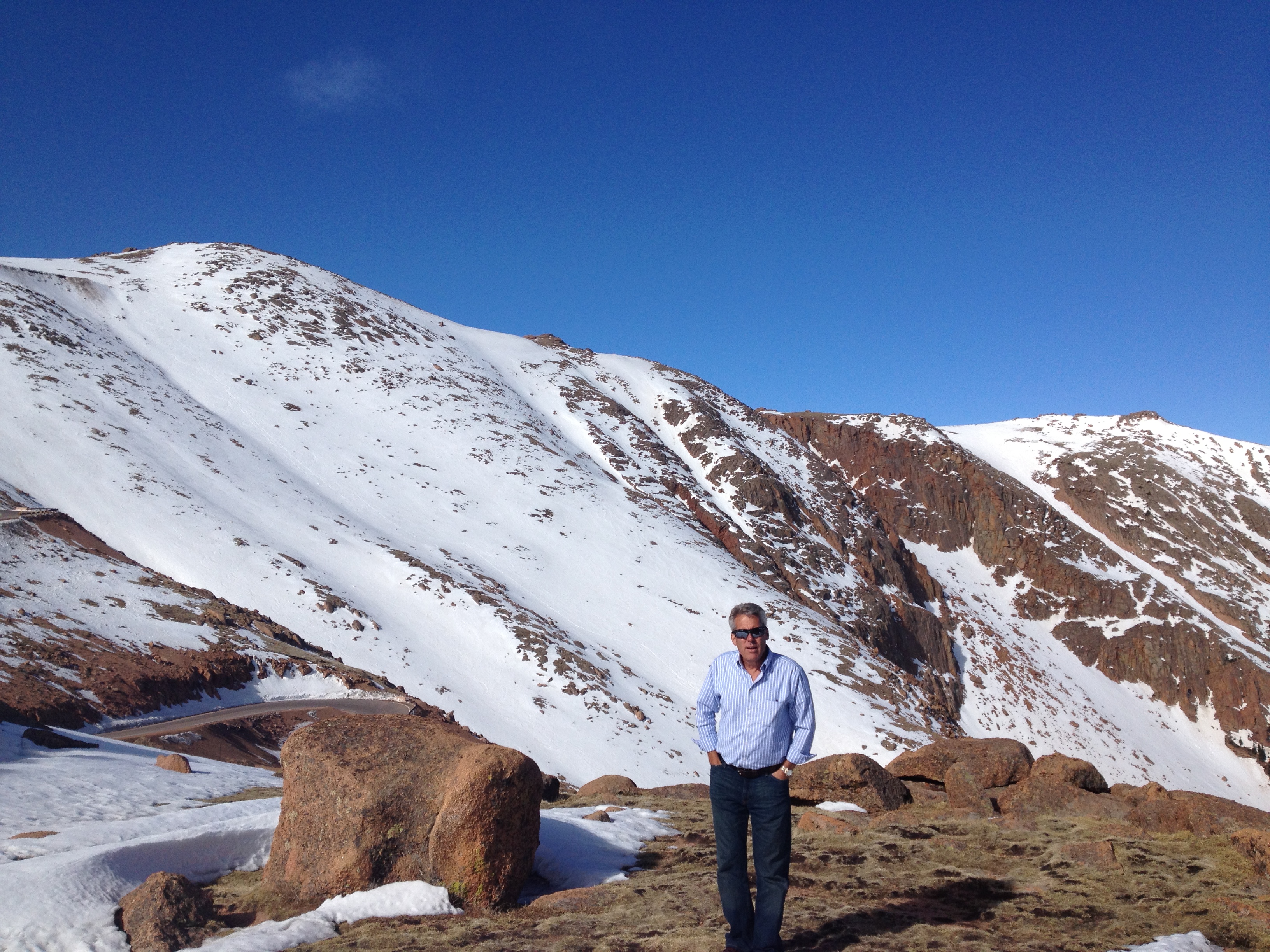
Until ice,,, did in fact,,, deny them the Summit!!
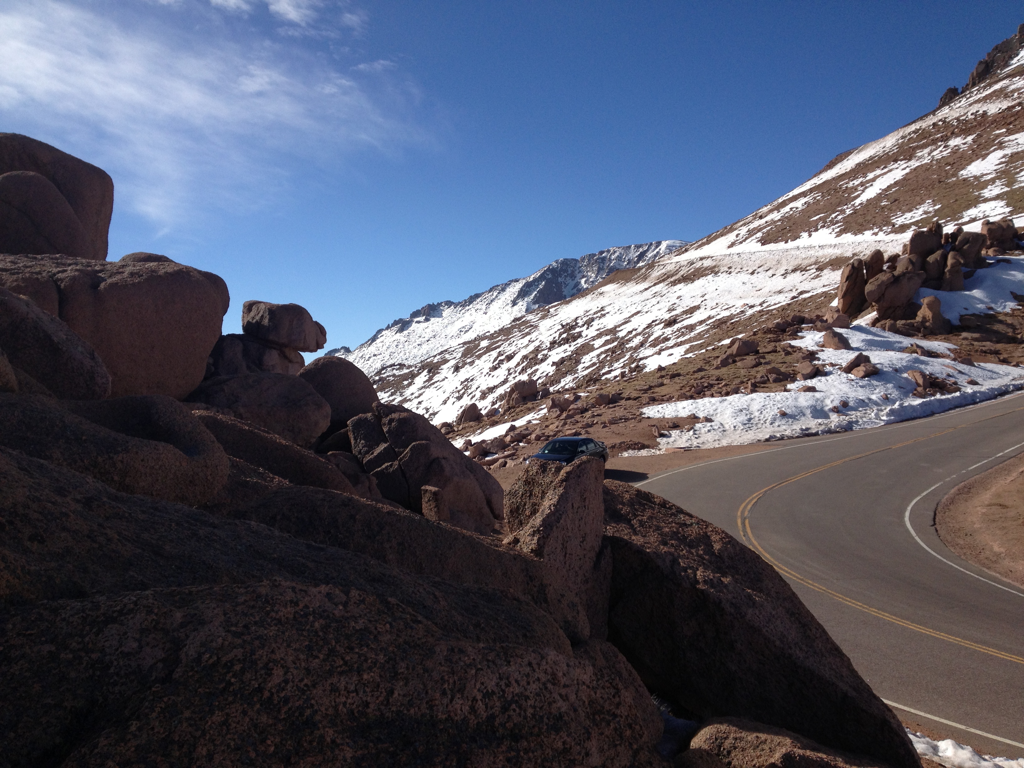
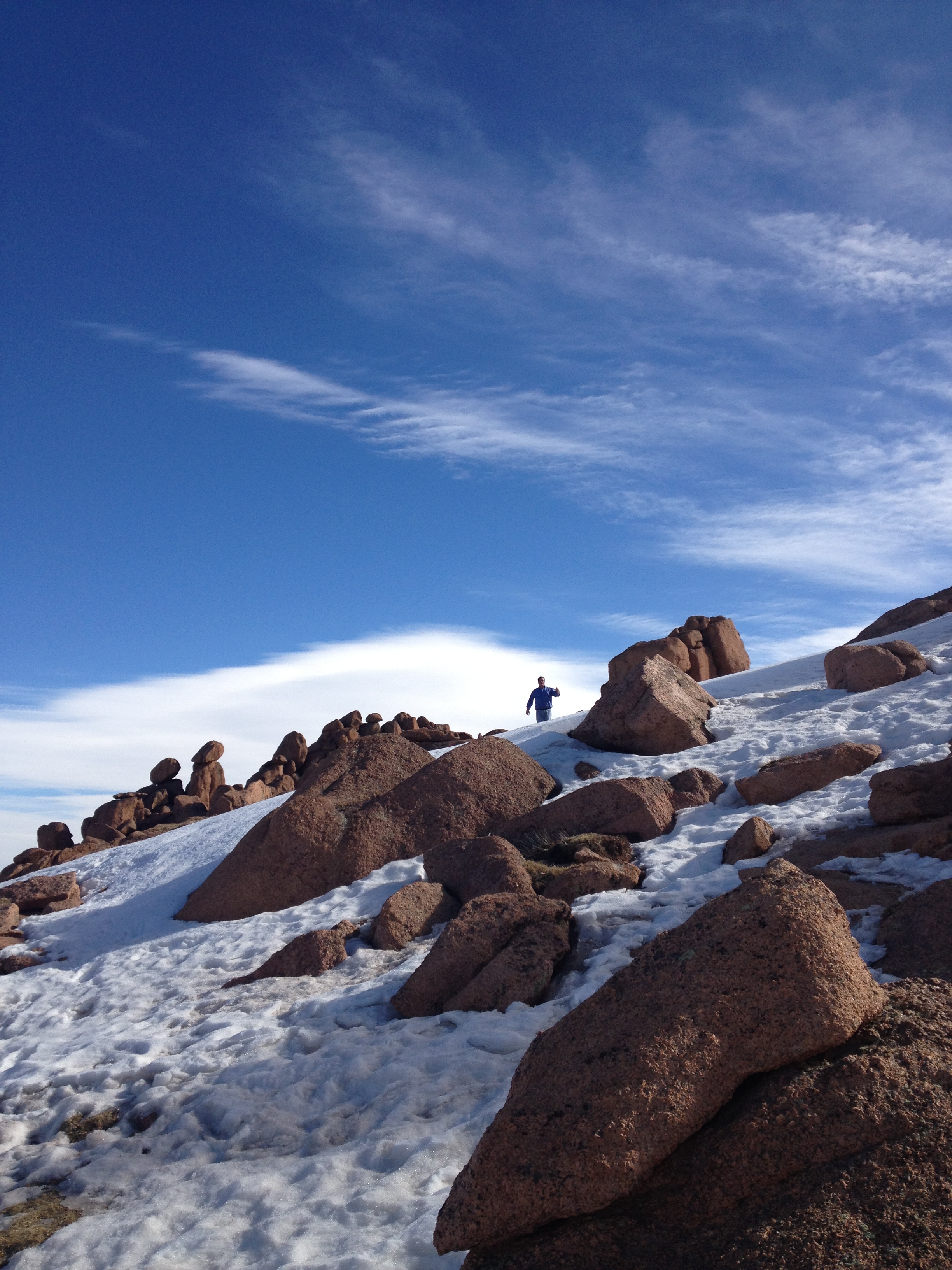
14,000 Ft: Denied Again !!!
Ah 14,000 feet! a number now twice denied the Boys!!!
Mike and Bone couldn't summit Mt Rainer climbing and couldn't even drive up Pike's Peak! The melt from the prior day left a 2 inch layer of ice on a particularly treacherous vertical switchback just before the summit. As they approached a Park Ranger waved Mile and Bone over and stated that the steep incline of the switchback made it too dangerous for any vehicle to attempt the summit. They suggested waiting a few hours and it may (only may) melt off in the Sun.
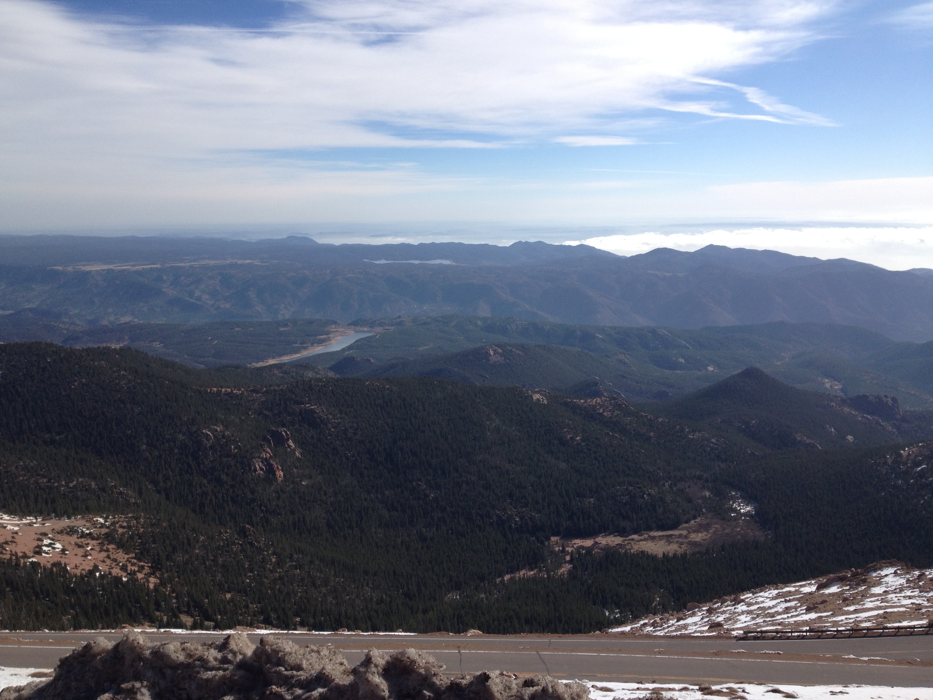
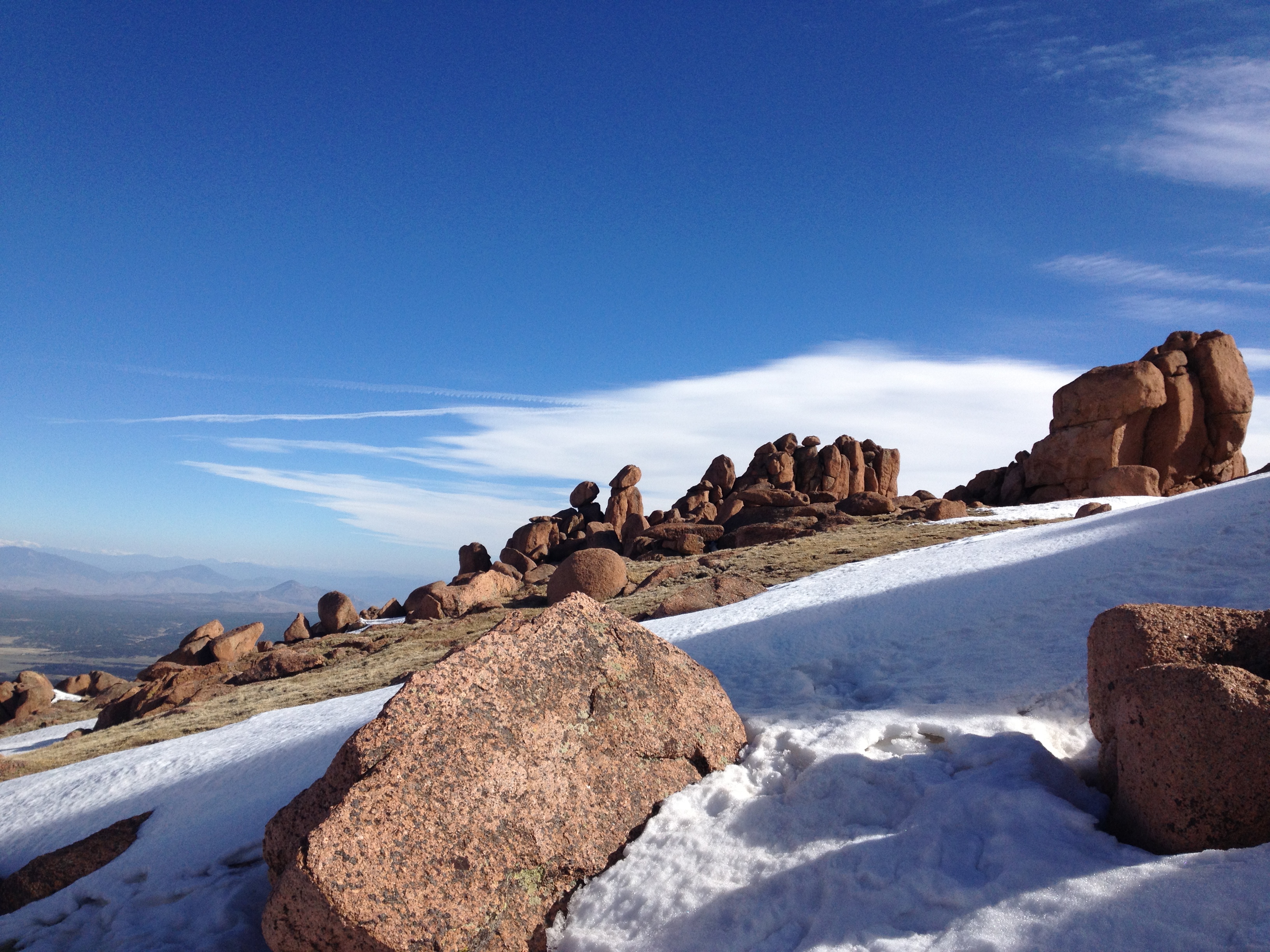
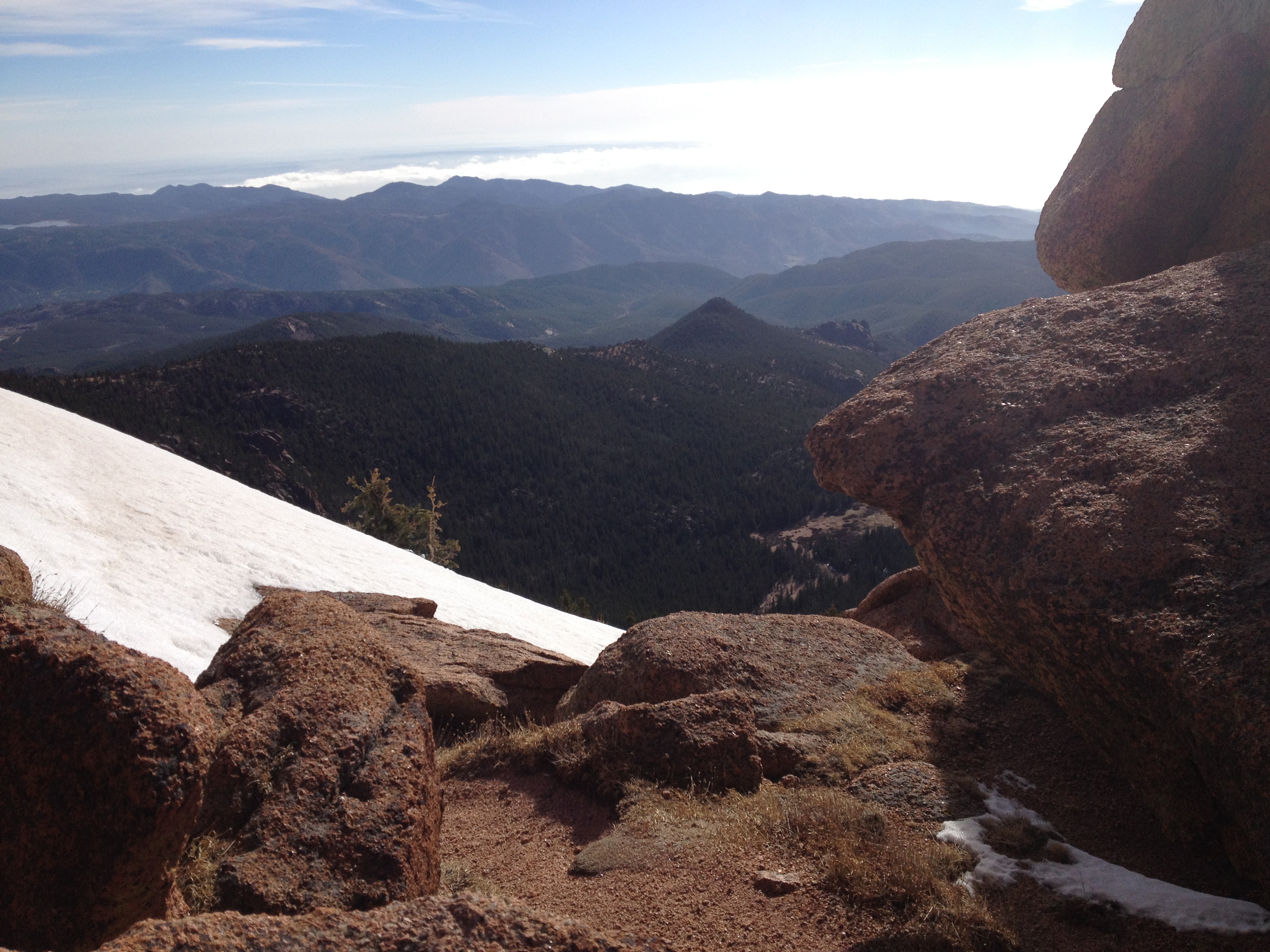
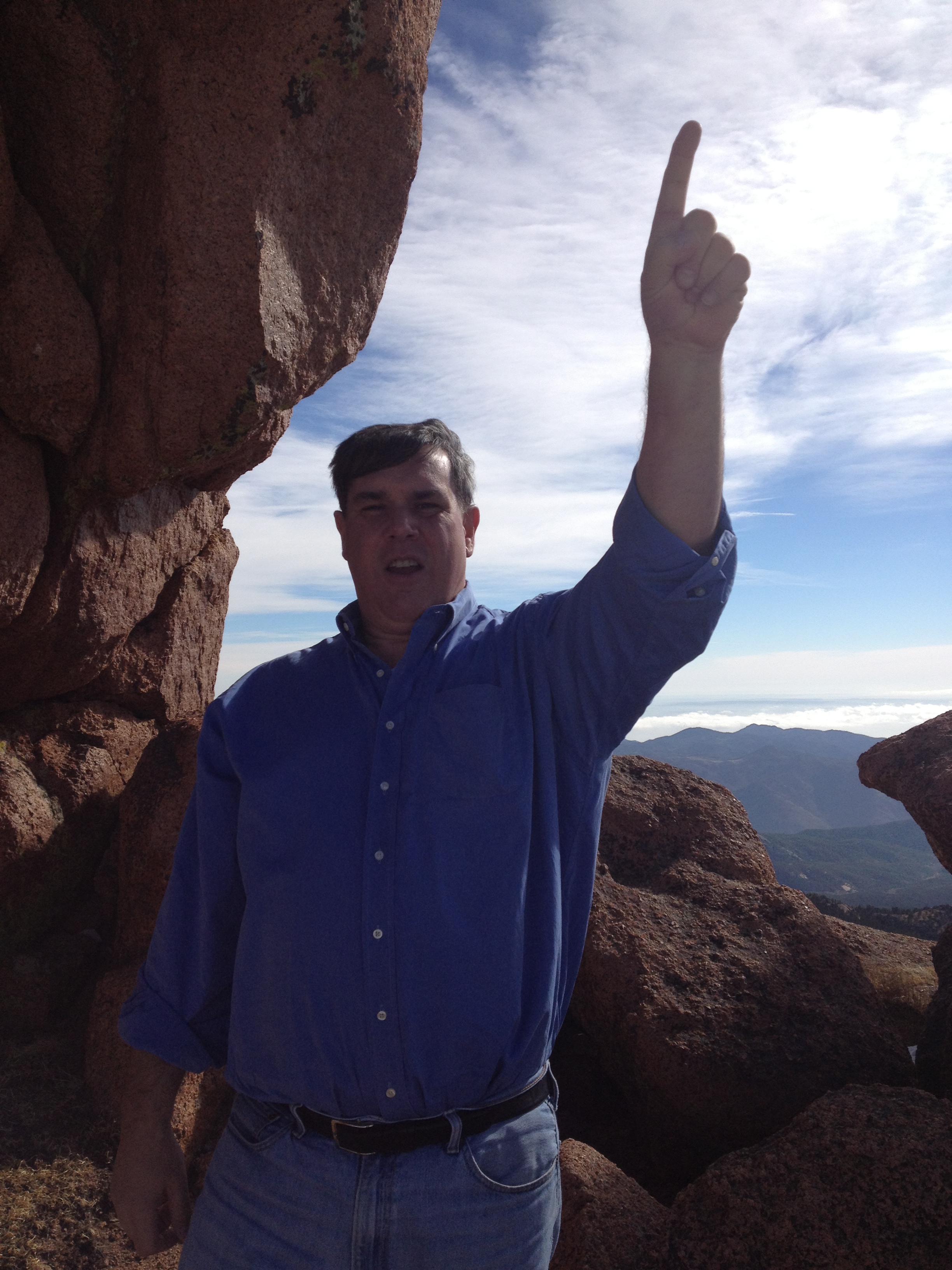
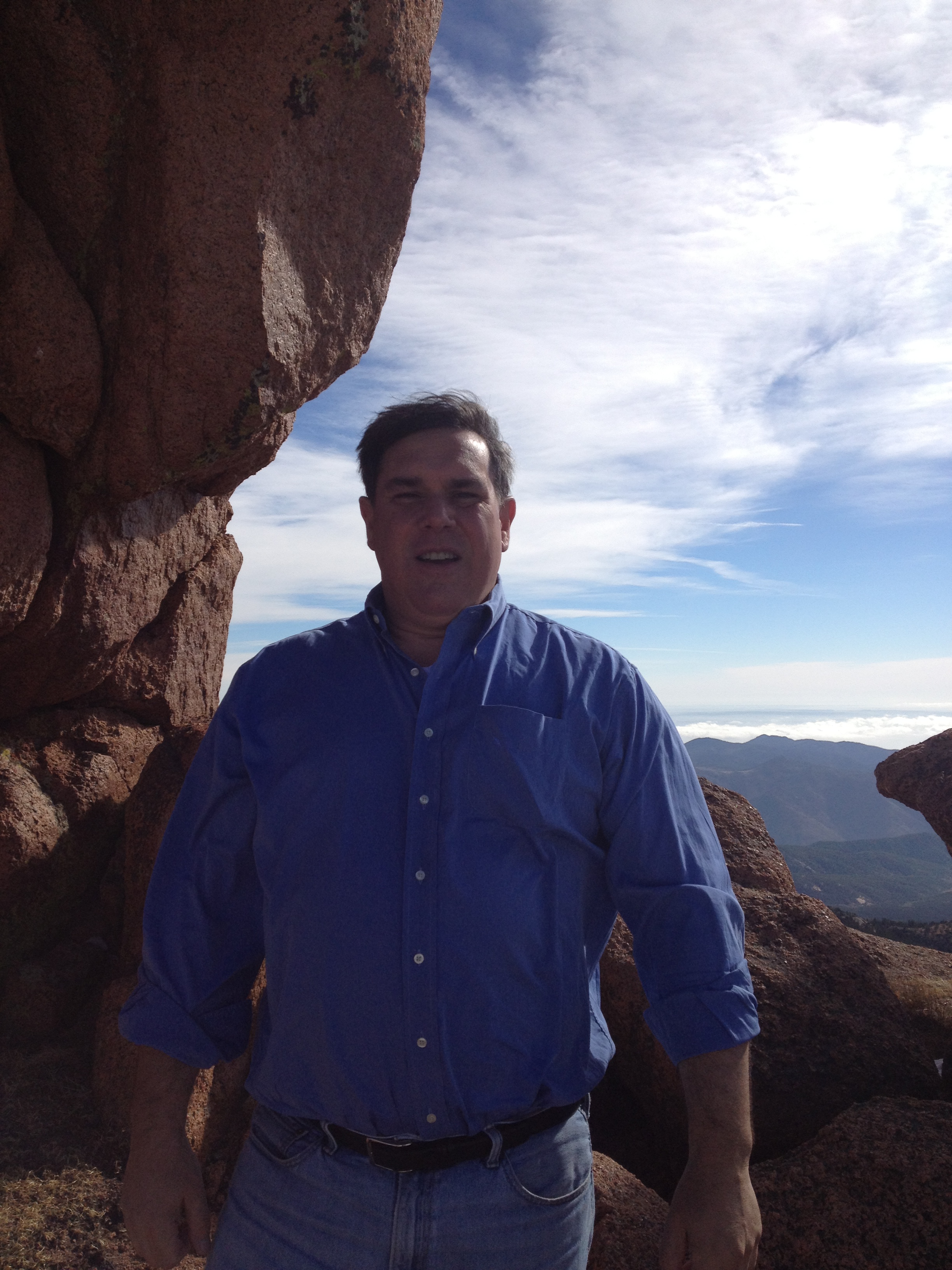
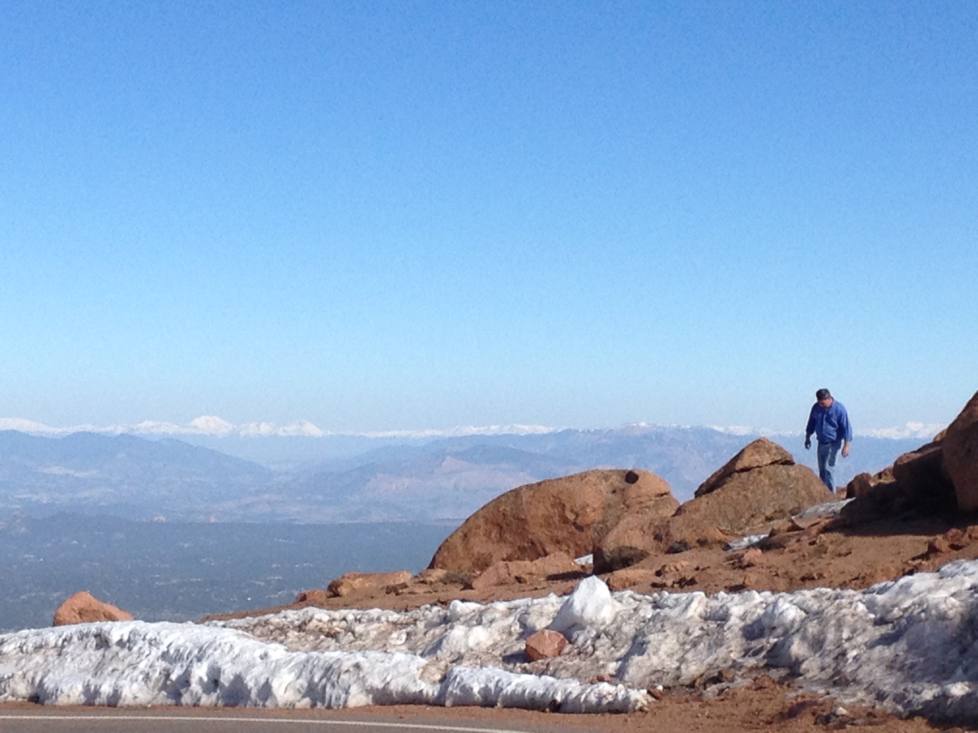
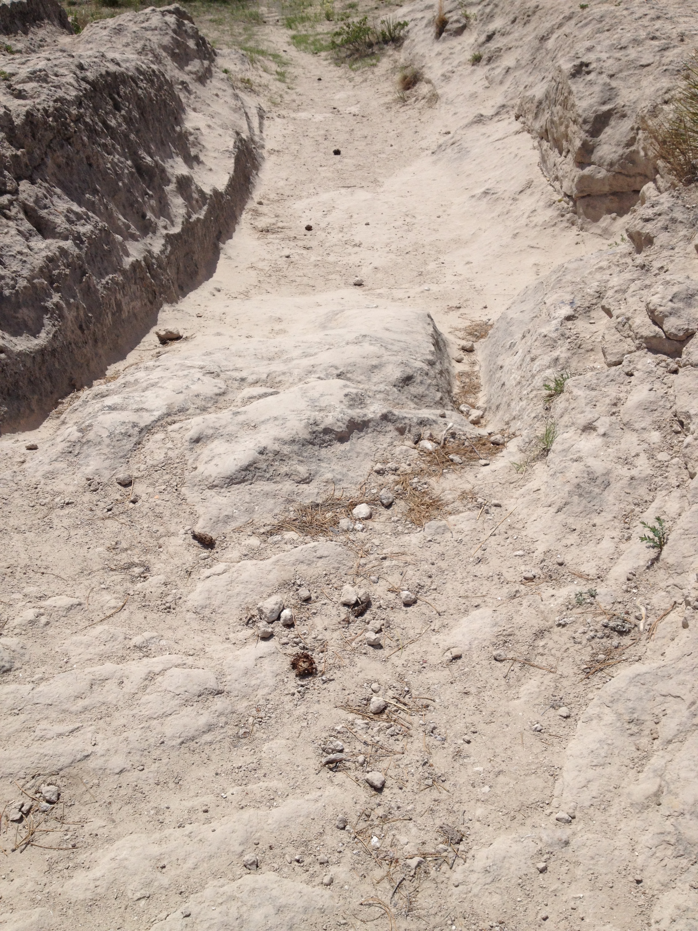
Well, the Boys had places to go and things to do. With the National Park Service shutting down the Summit, the Boys decided to hike up to the peak in the frigid 28 degree, 60 mile an hour wind swept morning.
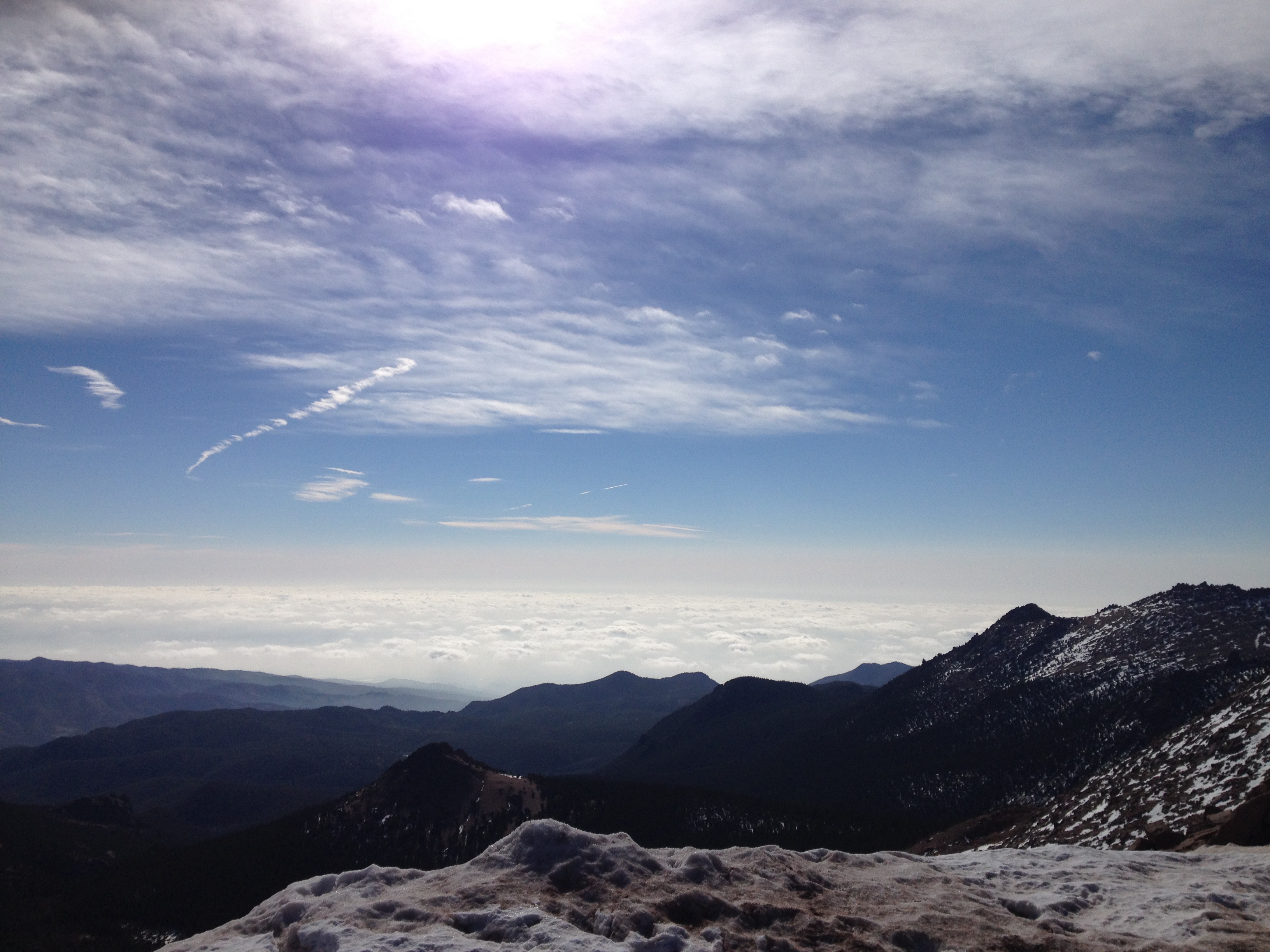
The Boys pulled their car off of the road and started hiking up in totally inappropriate alpine gear! Wind was gust were blowing sand, snow into the boys squinty eyes from the bright sunlight. As their eyes adjusted the vistas were simply awesome!!
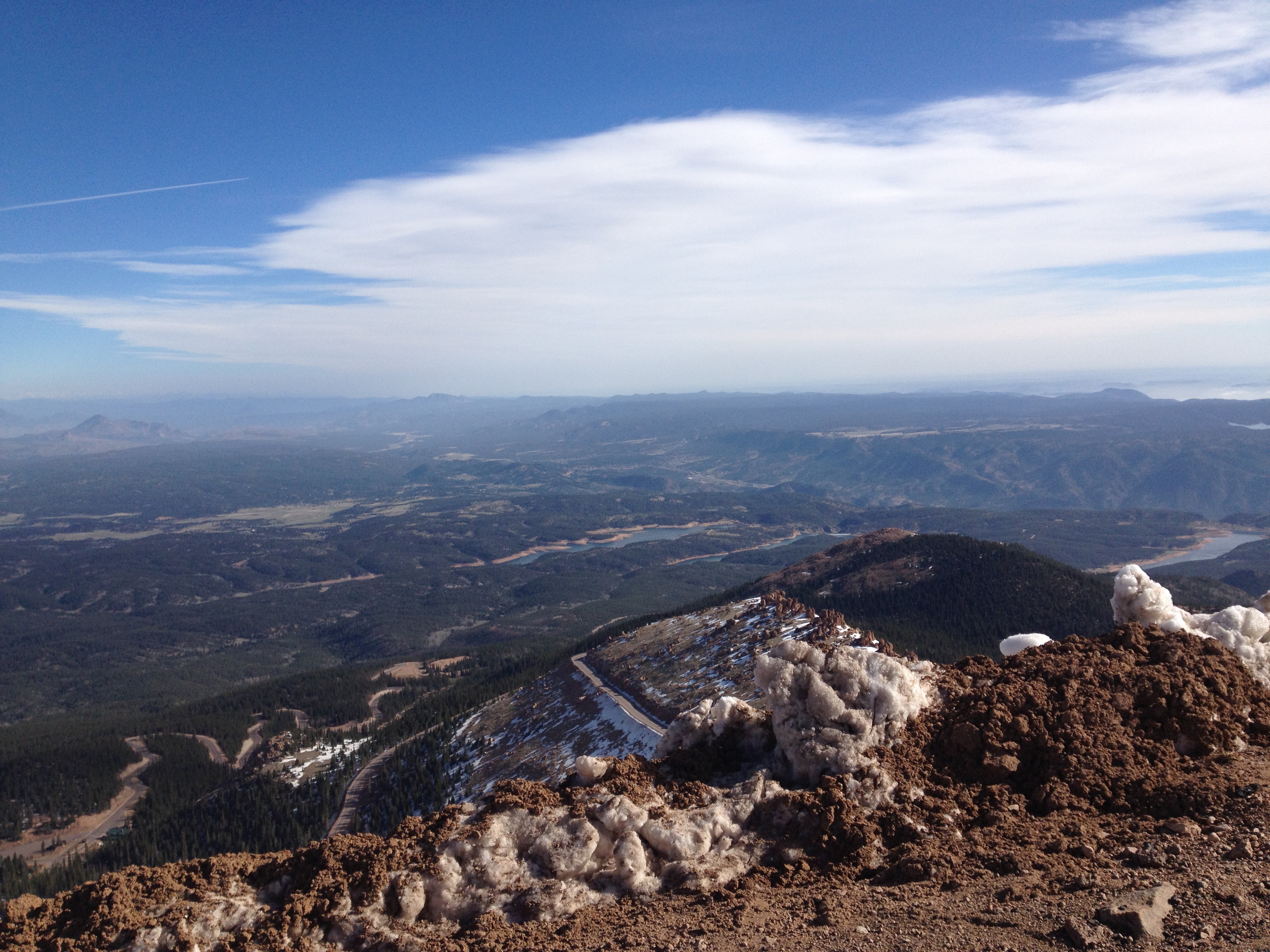
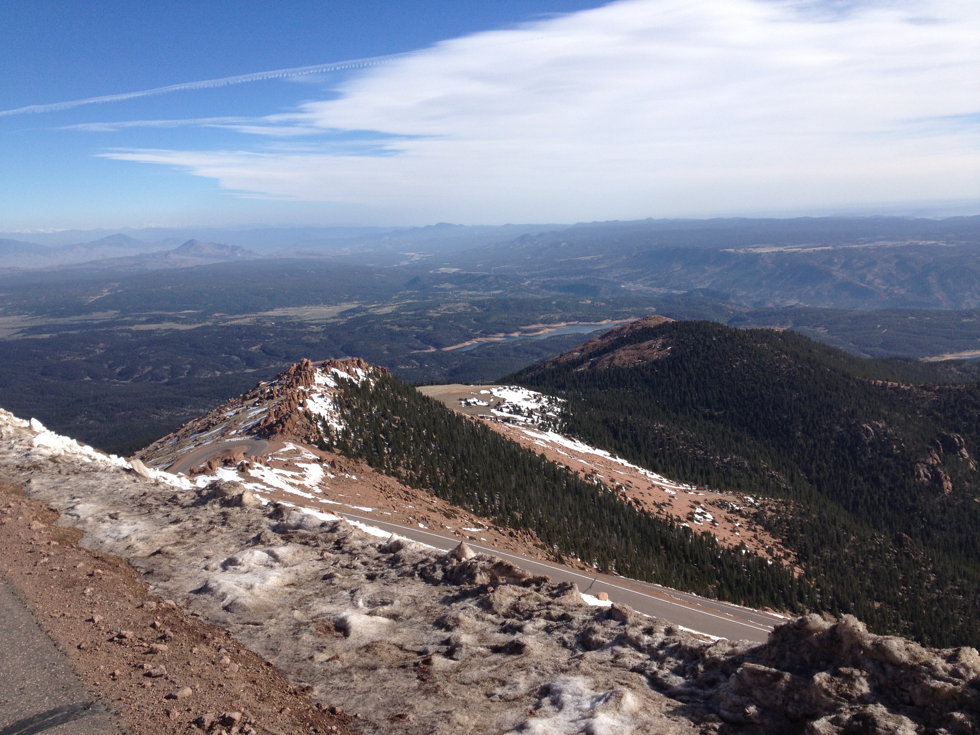
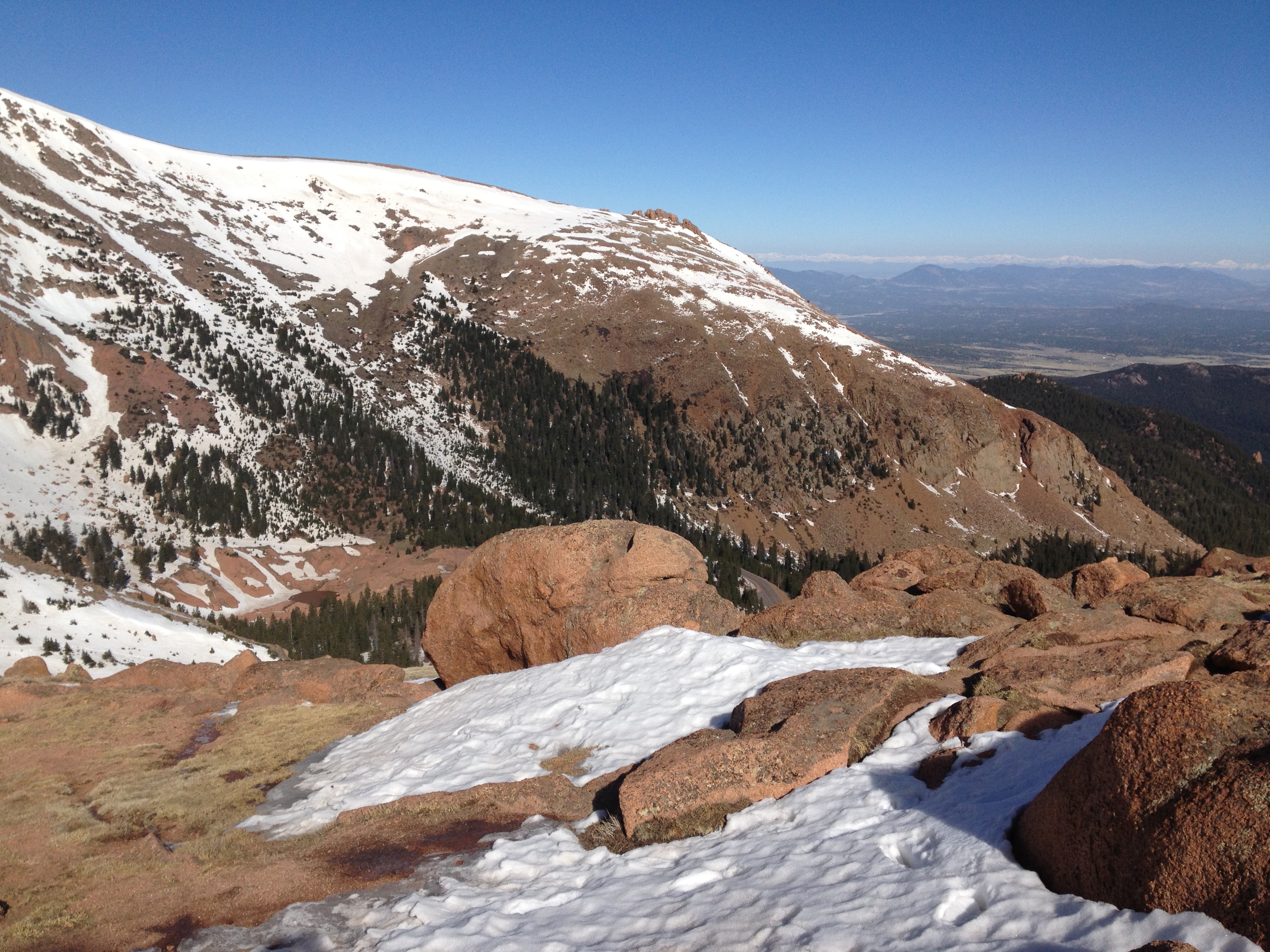
Pine-covered Pikes Peak Valley
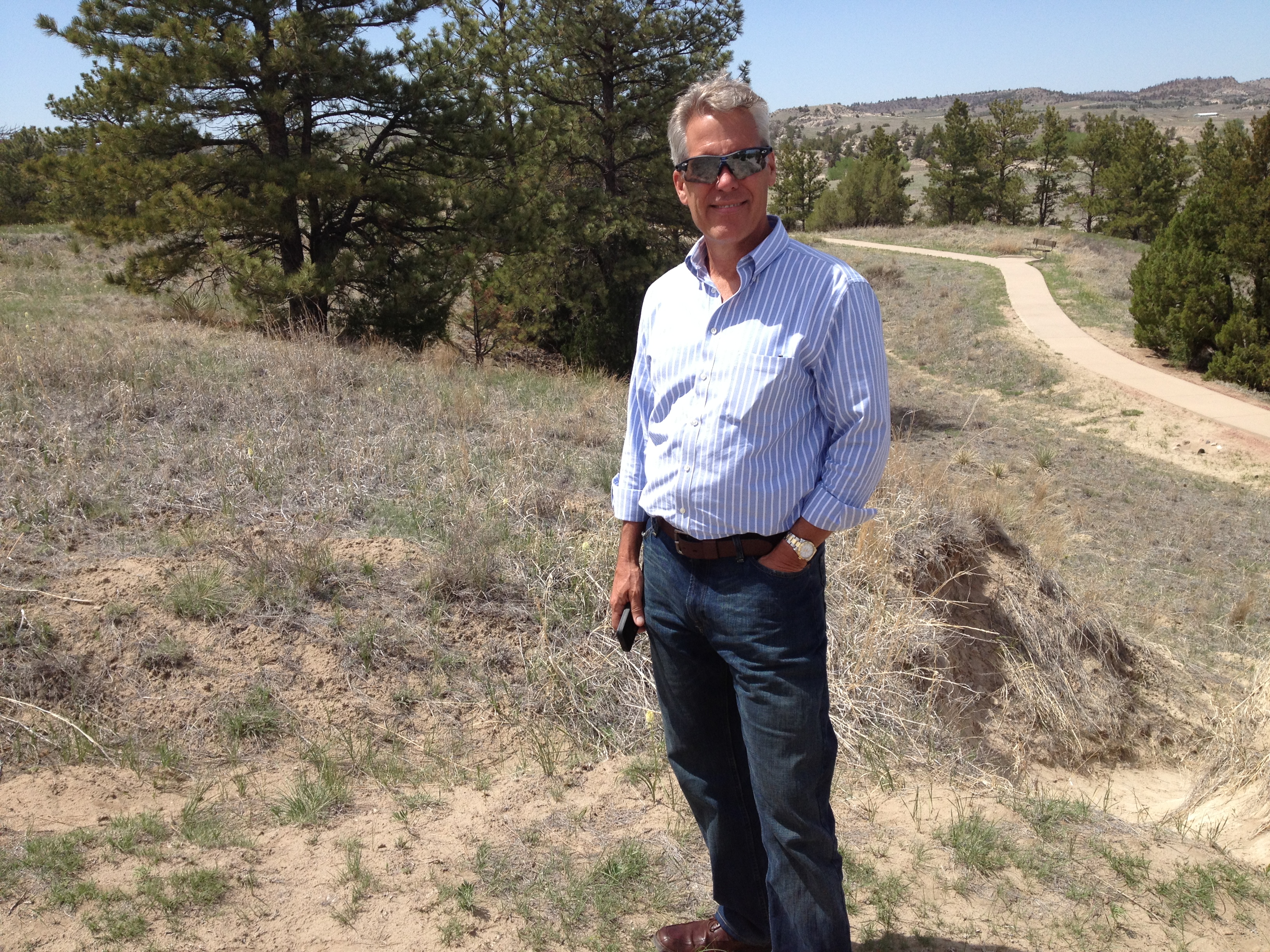
Mike, wisely getting his Sunglasses!
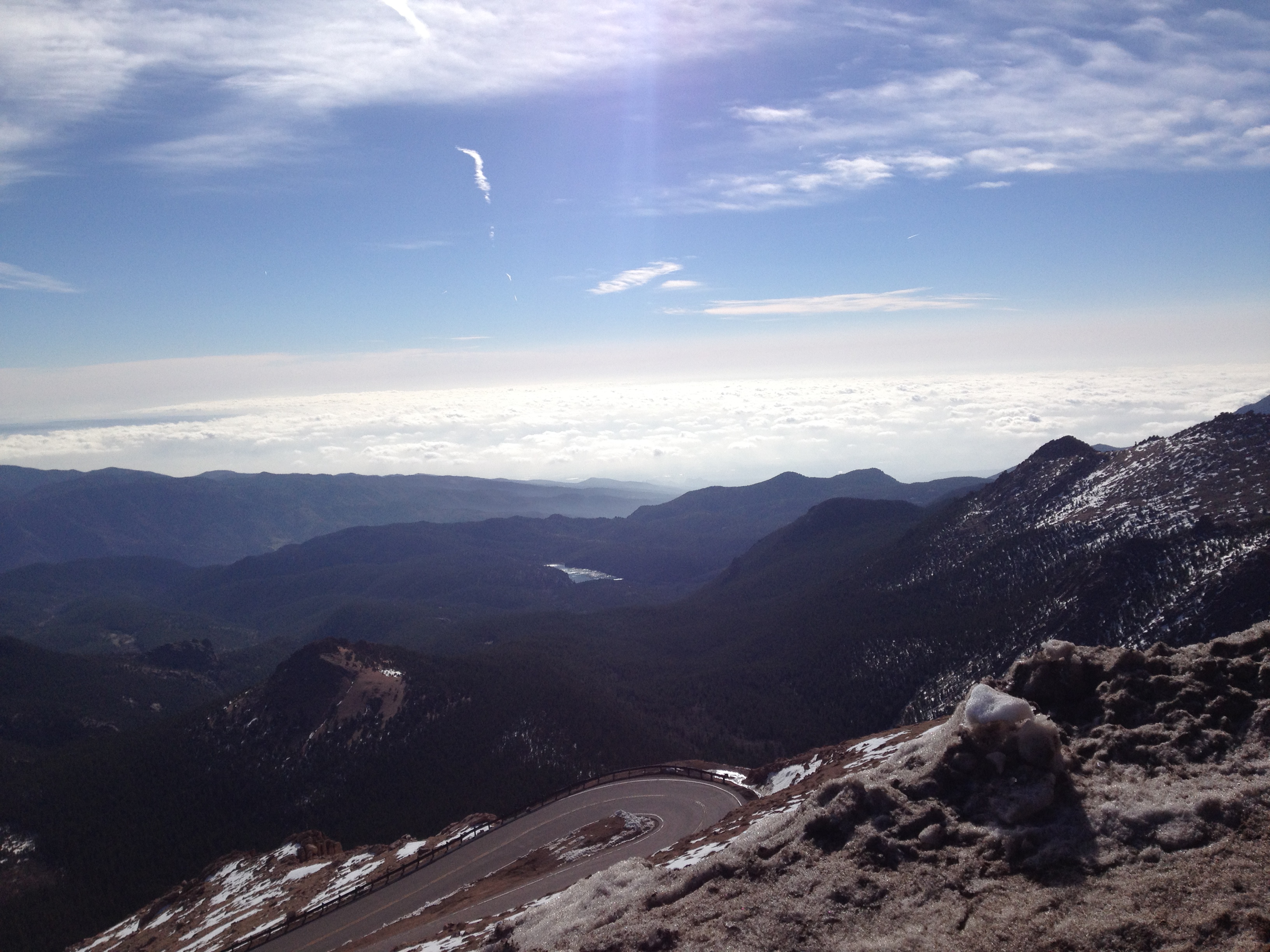
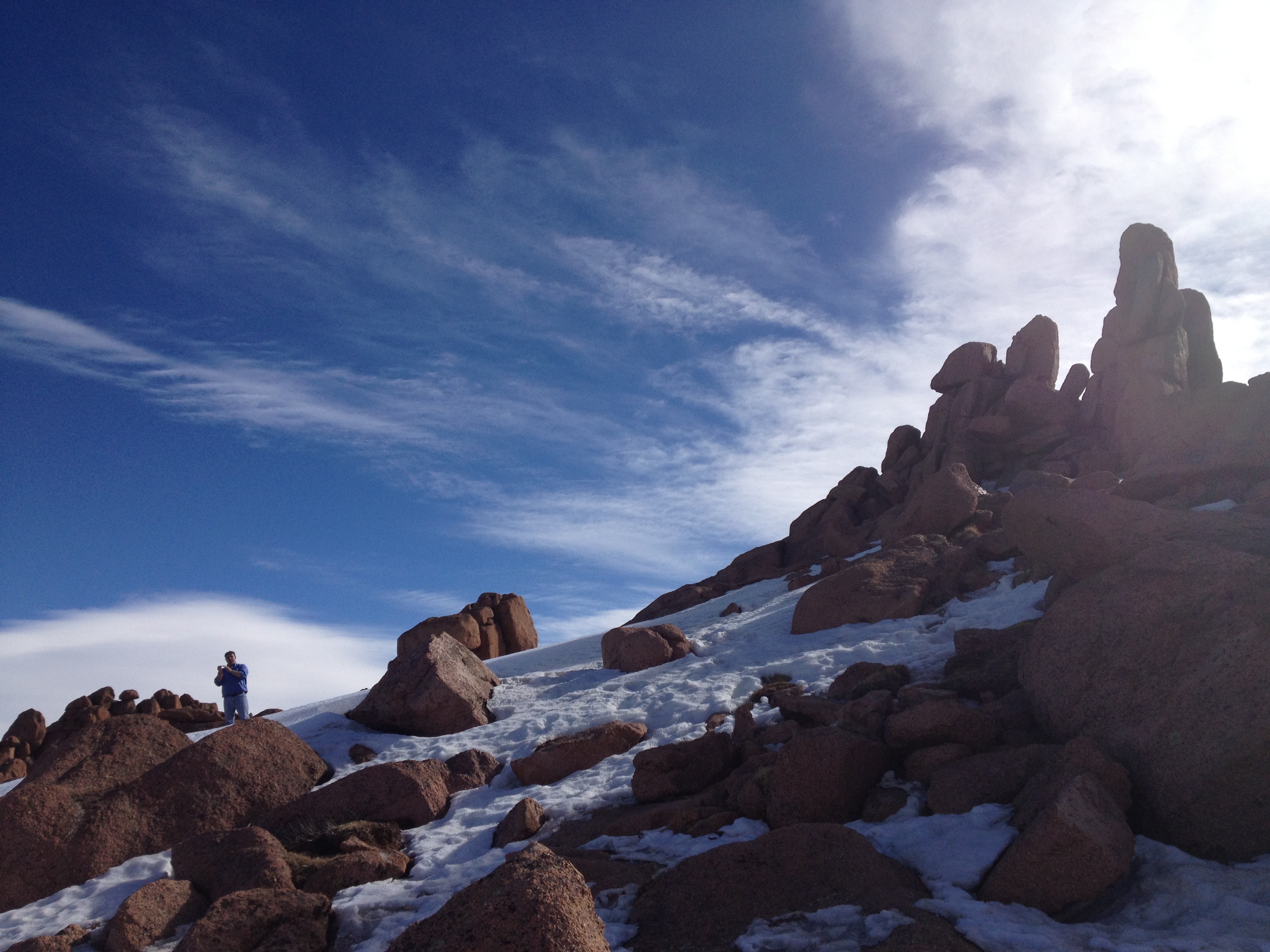
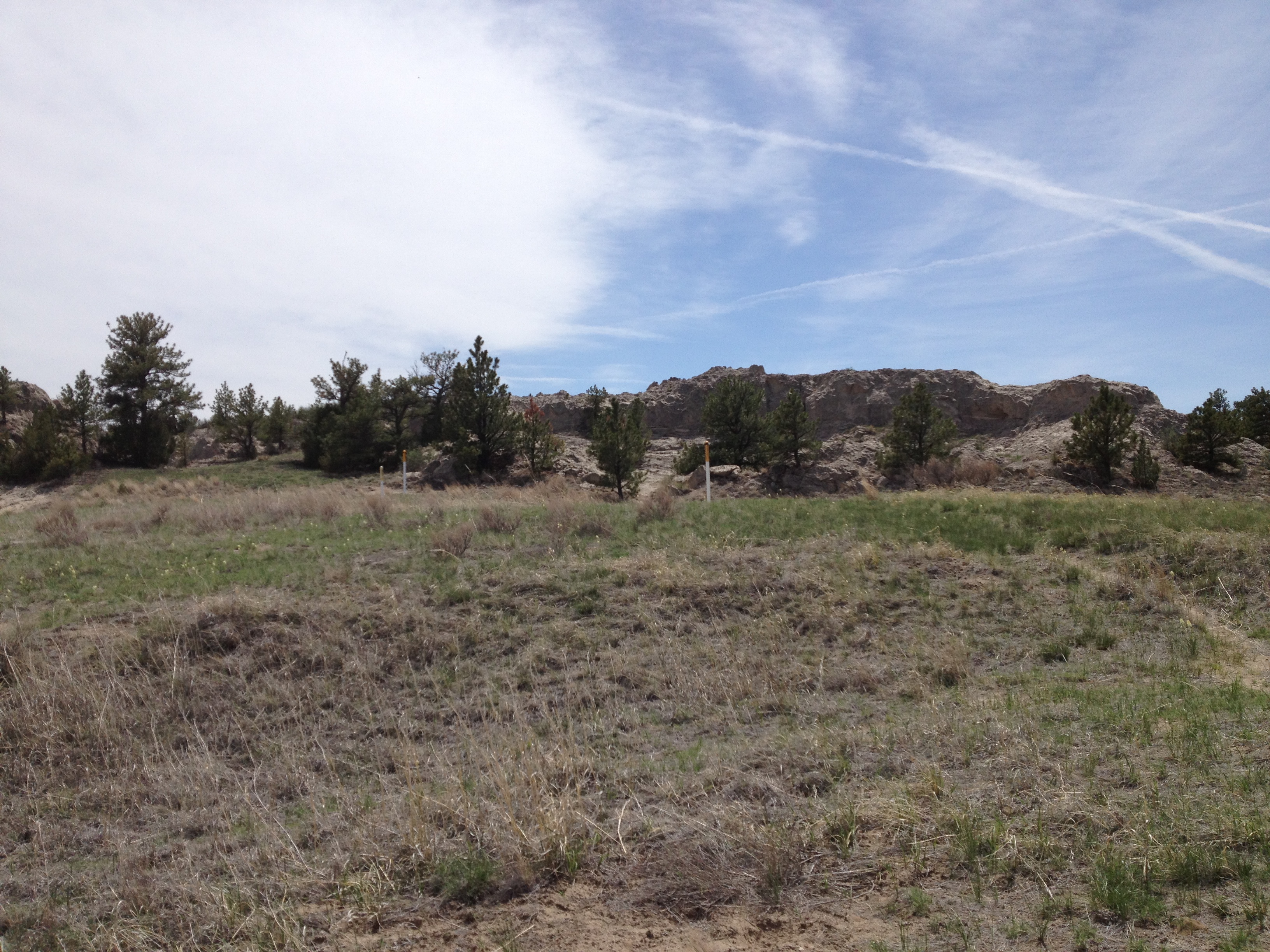
So close to the Freakin' Summit!!
Ice ! Ice !! Baby !!!
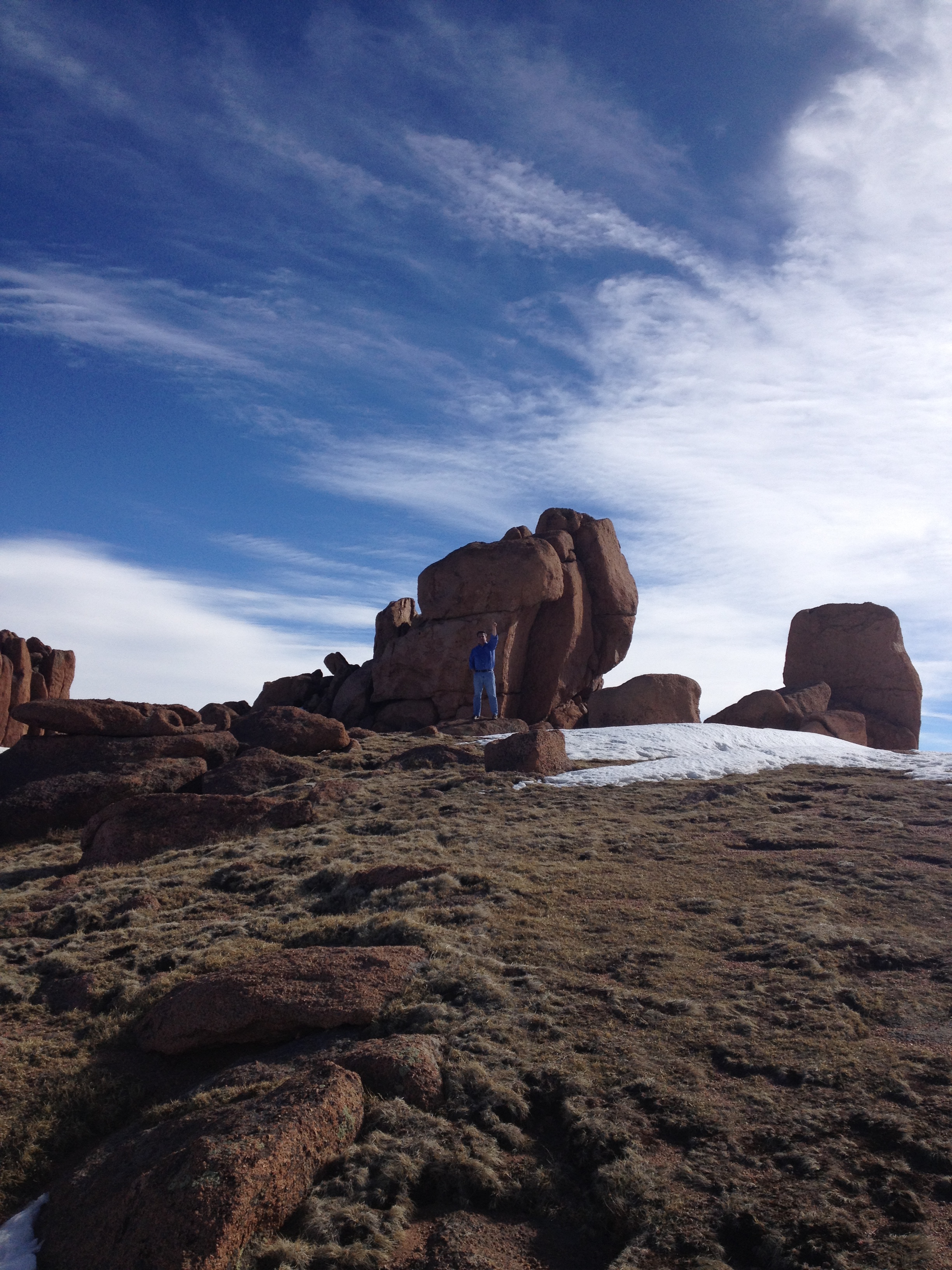
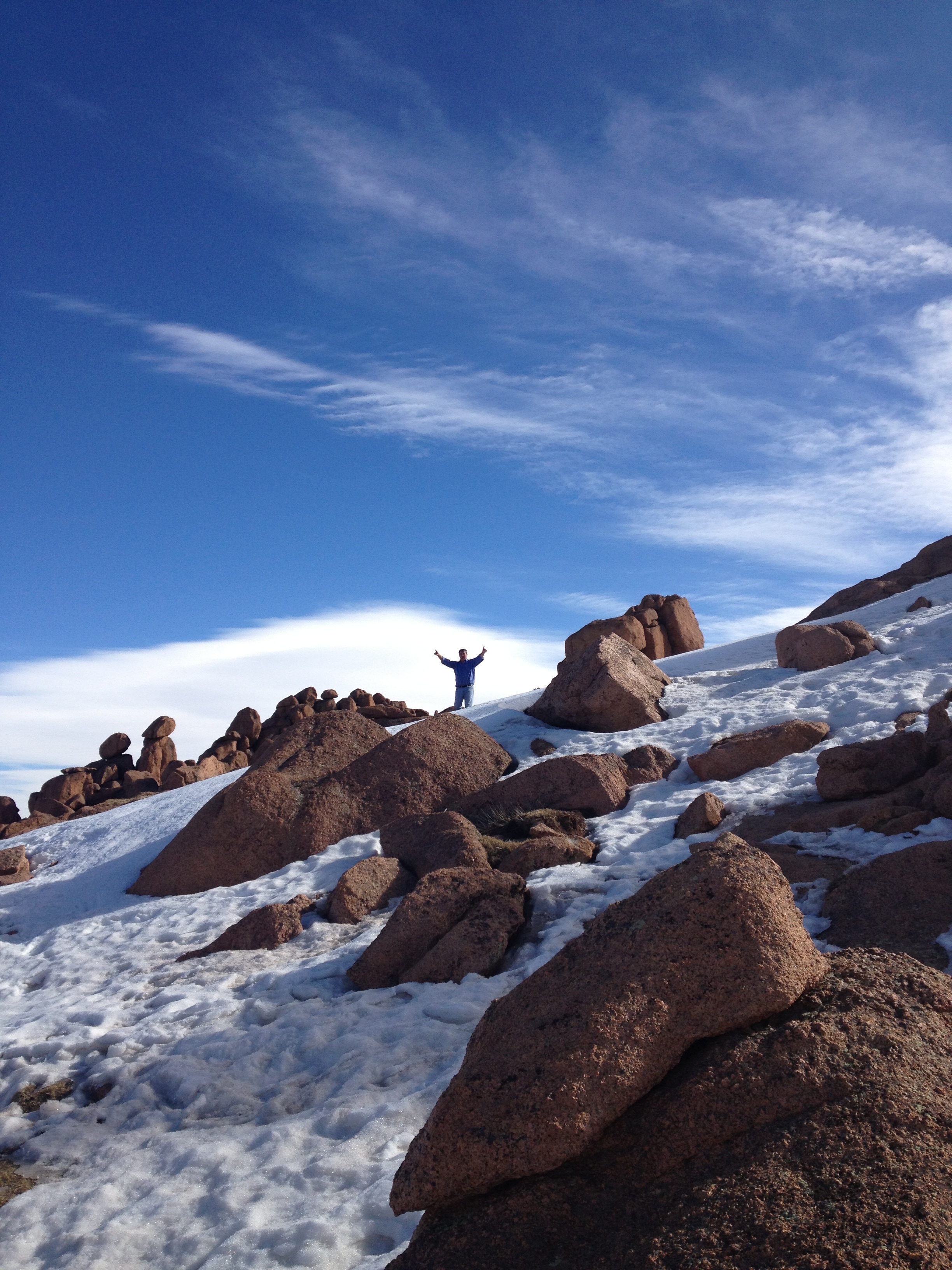
A Mike and Bone Summit!!!
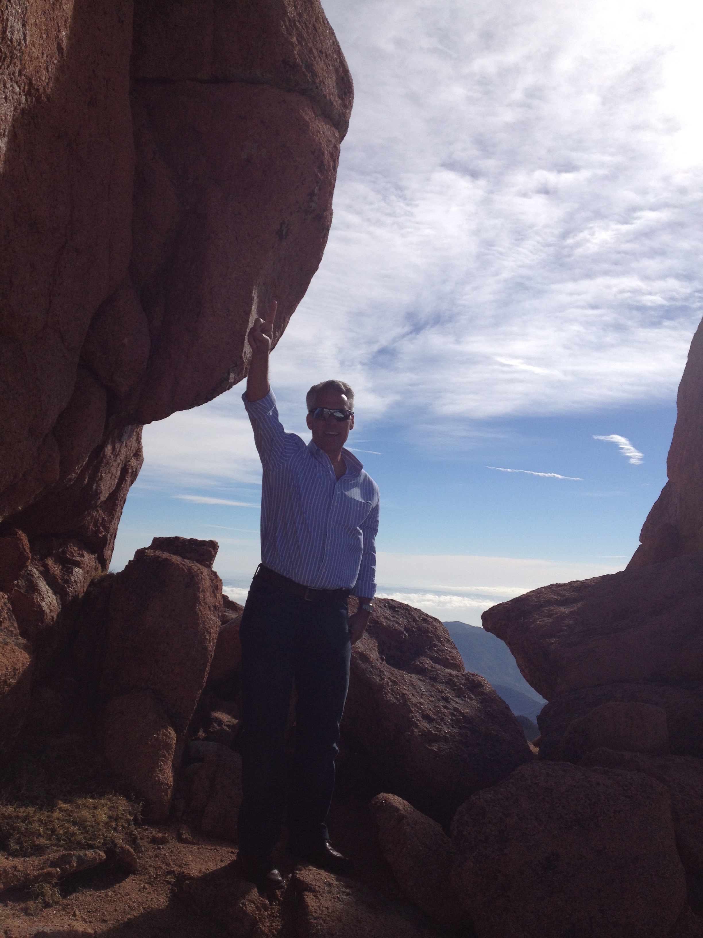
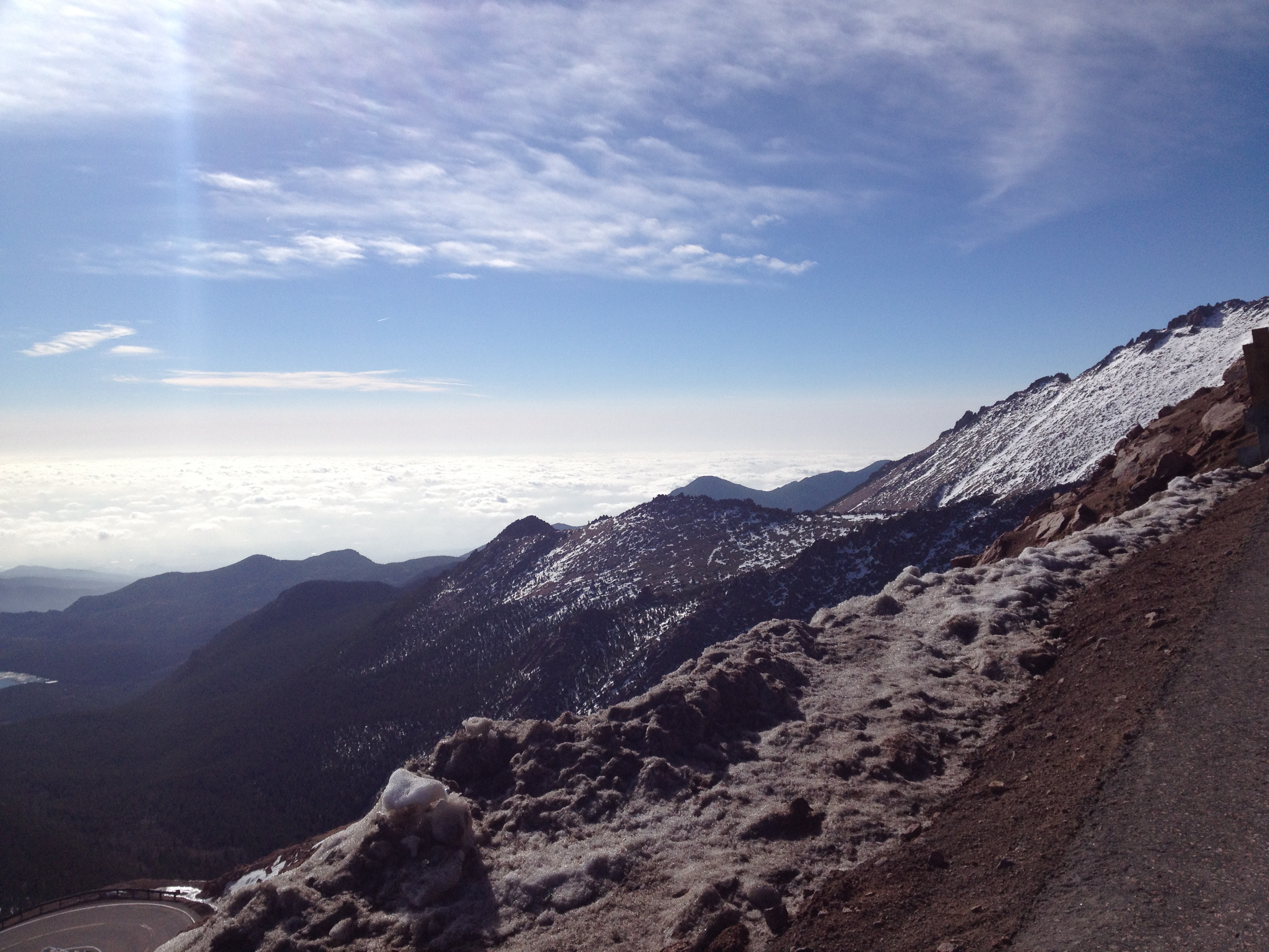
Did the Boys Summit? No, they got close but realized that the time it would take would chew up too much of the morning, but they got close!
Bone, Stoned from the Cold!
It took Mike and Bone a good 30 minutes to get back to the car and start heading down the Mountain, where the switchbacks along the mountain are not nearly as gnarly as going up along the cliff!
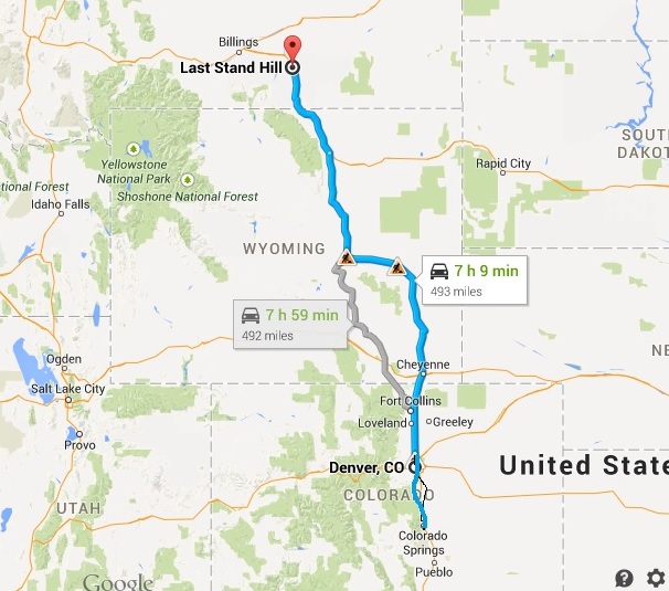
Go North Young Man (on to Wyoming)!
Getting back down it was already pushing 11:00, time for filling the Hall of Shame with some awesome local Rocky Mountain microbrews for the hot, dusty drive up I-25 towards Casper, Wyoming!
Why not Wyoming!?!
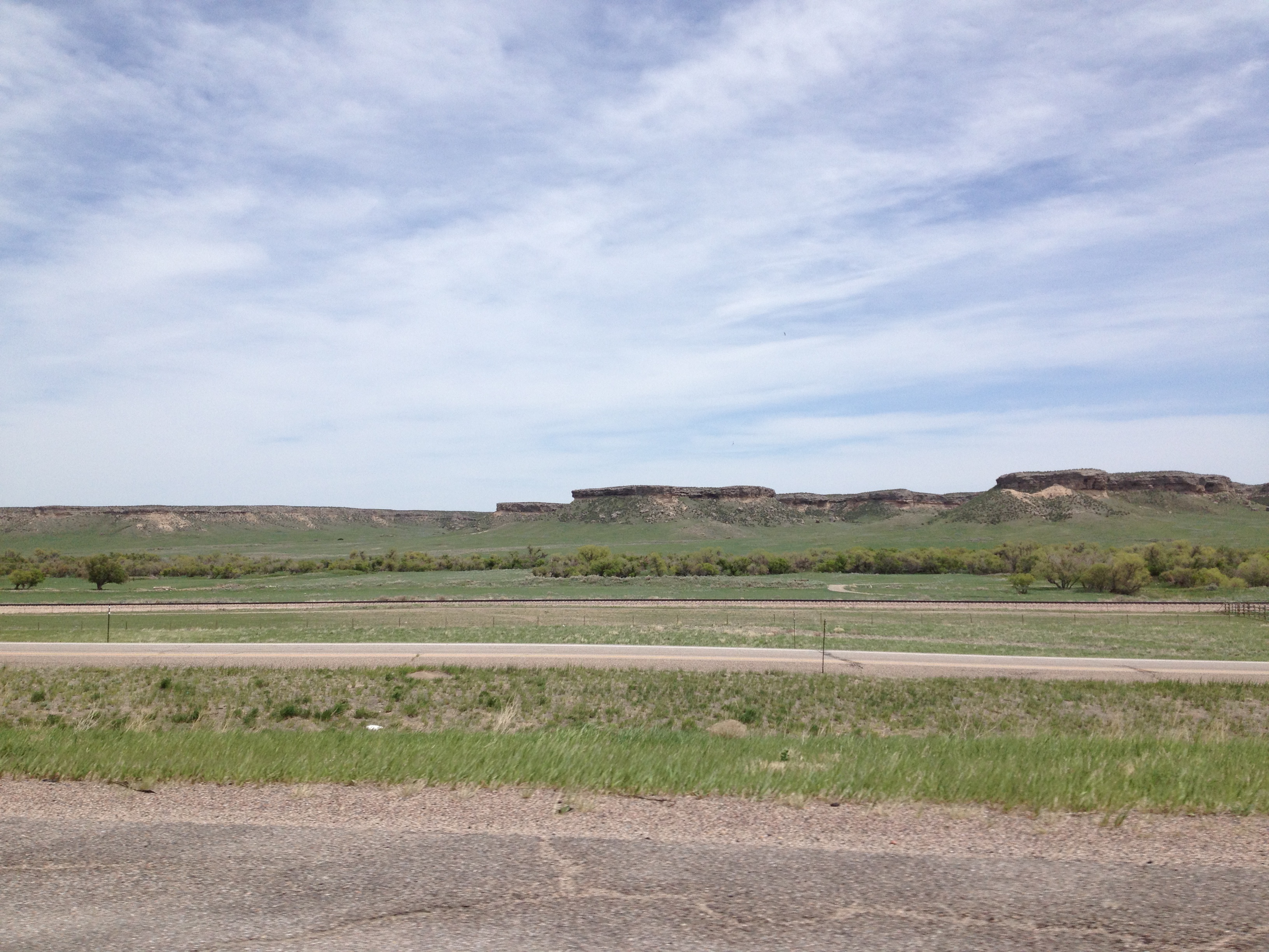
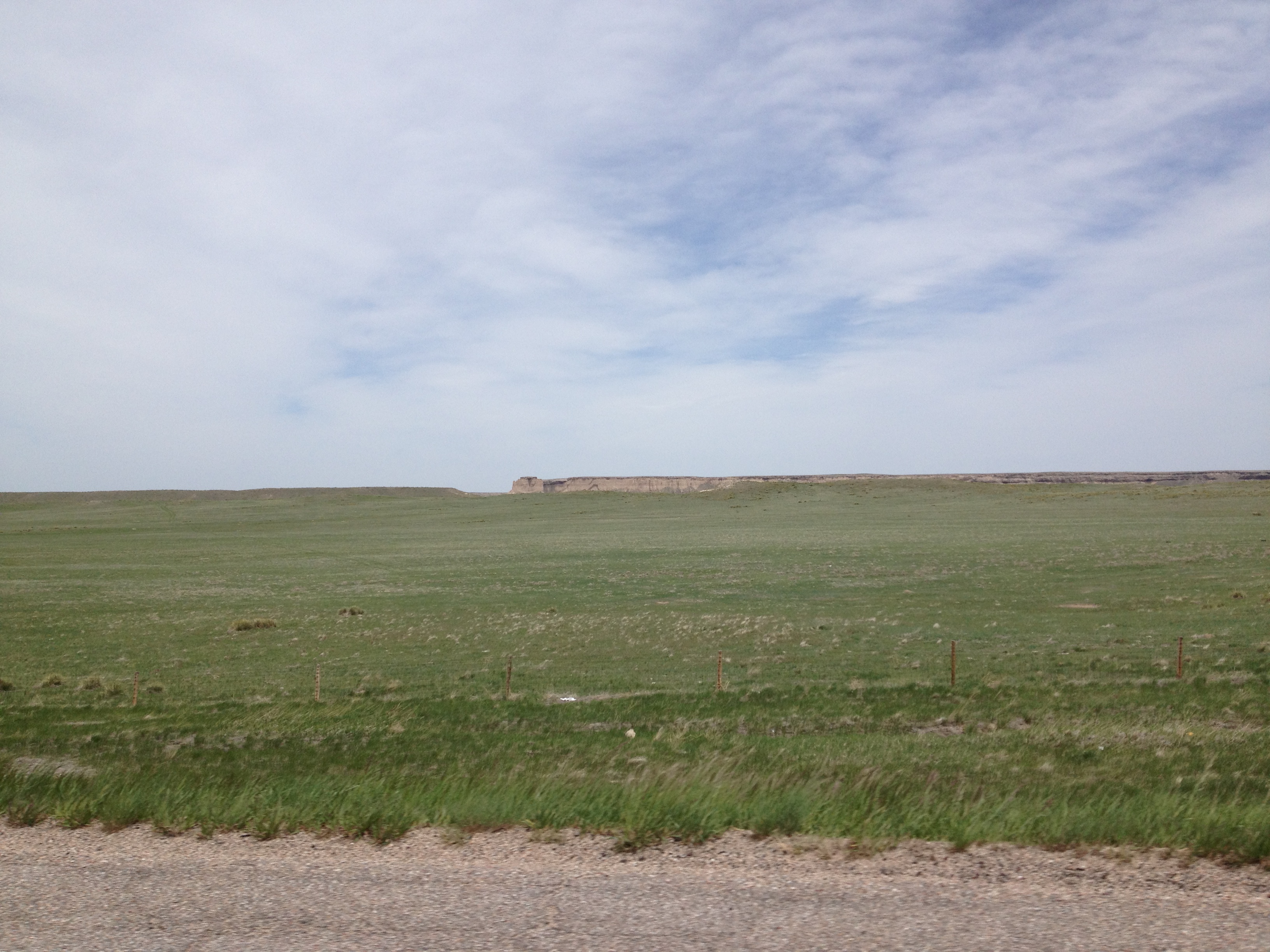
Flat as a Board, with no Cowboys, just Buttes!
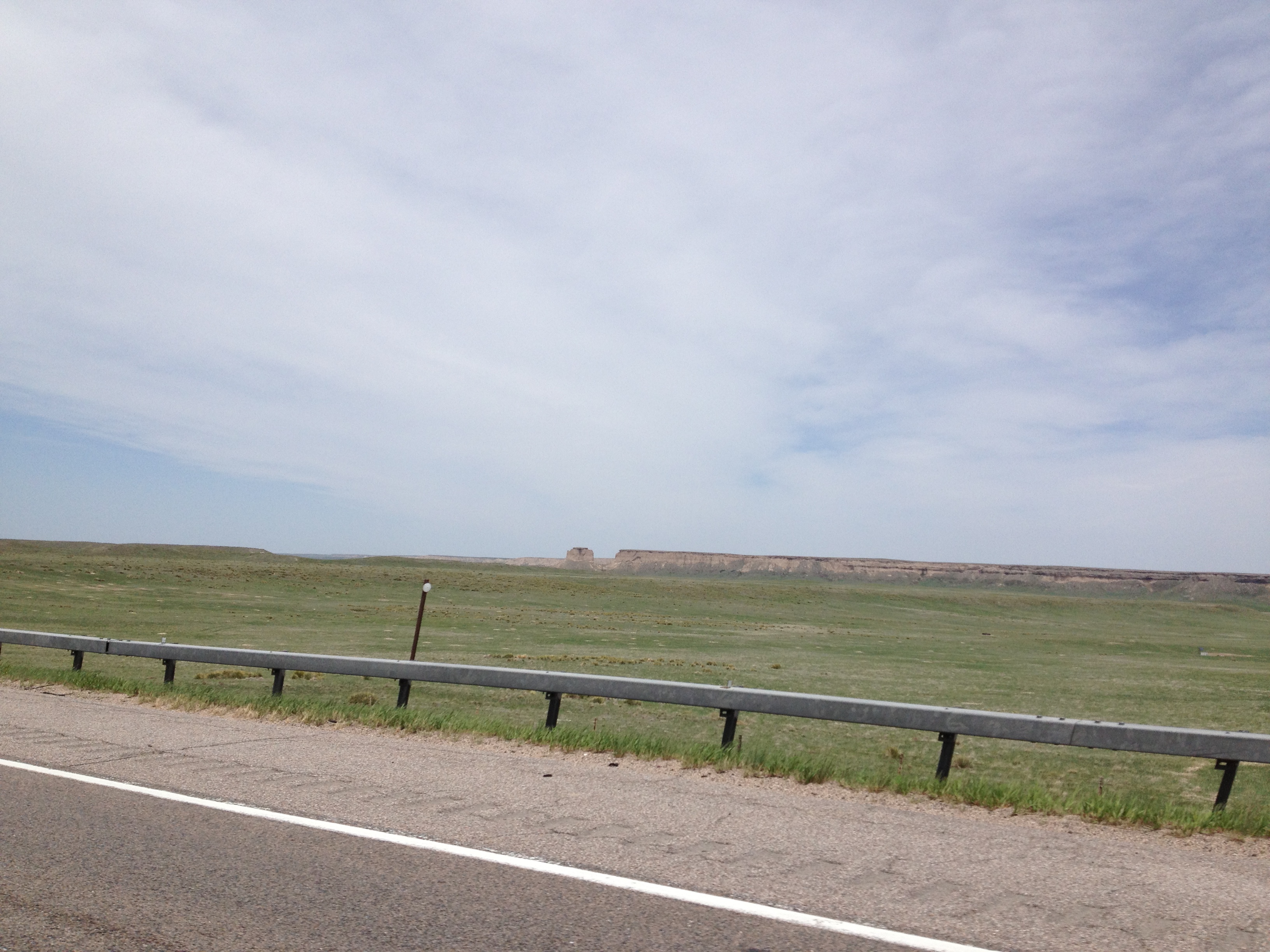
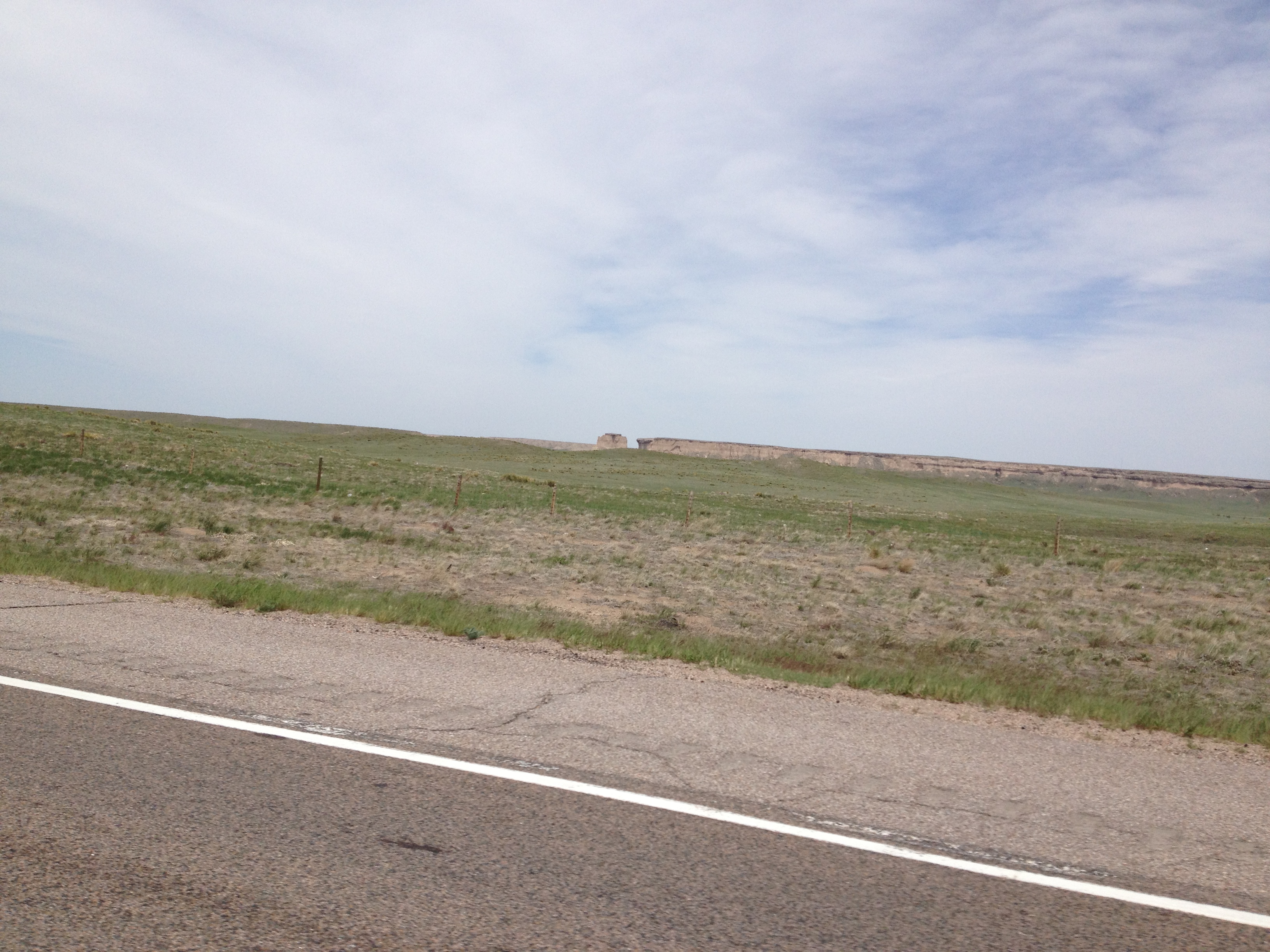
Wyoming is known for broad vistas and cowboys. The name Wyoming is thought to come from the Delaware Indian word "Maughwauwama," which means "large plains." While not really sure how that turns into Wyoming, the Boys were clearly seeing the Great Plains part of the State!
I-25 follows about 20 miles east of the eastern spine of the Rocky Mountains and has those "long plains" the Delaware's talked about. This is also called Big Sky Country which makes for the long dry, dusty, hot, flat ride which fortunately Mike and Bone used the icy cold micro-brews to while away the miles!
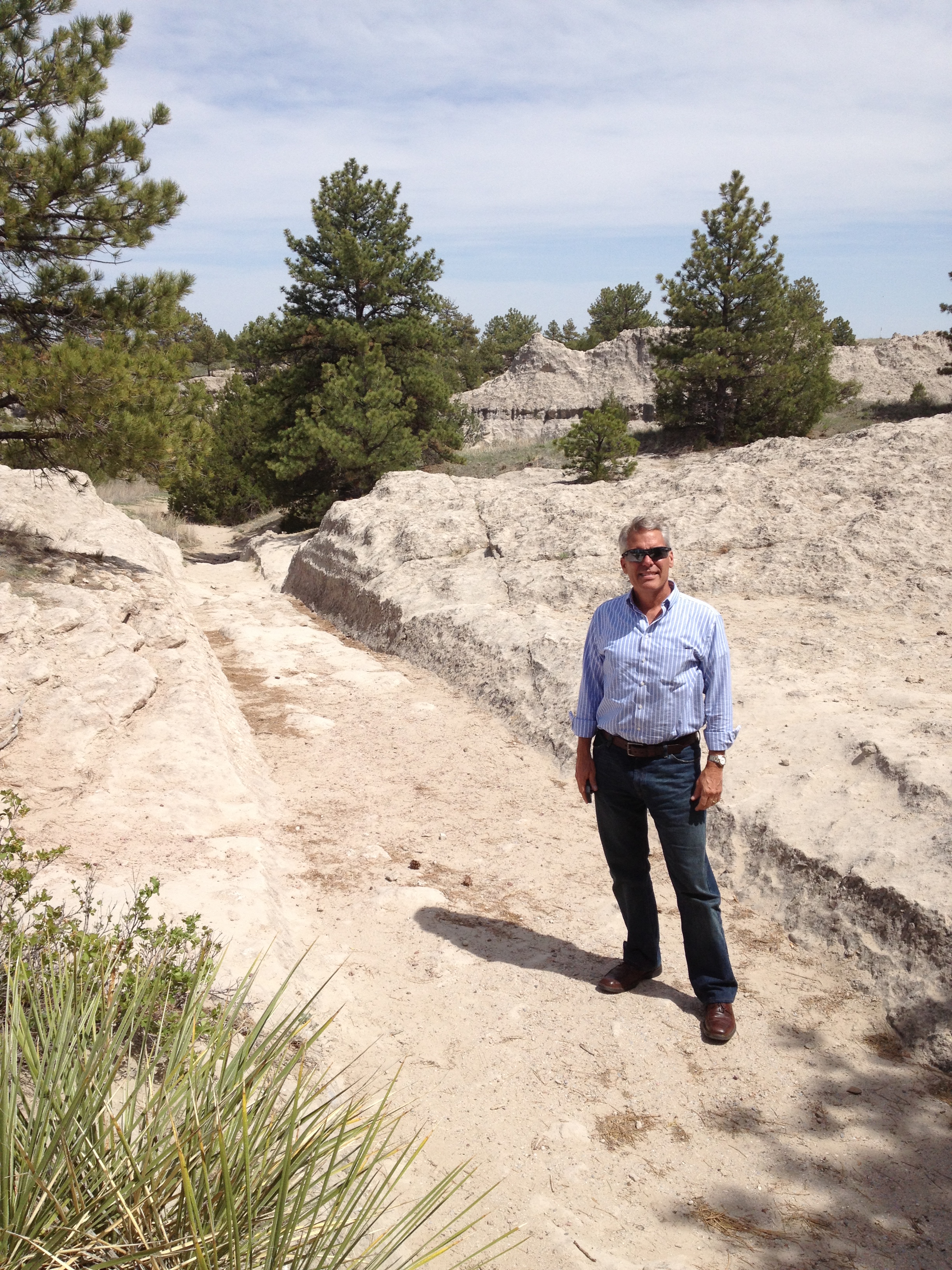
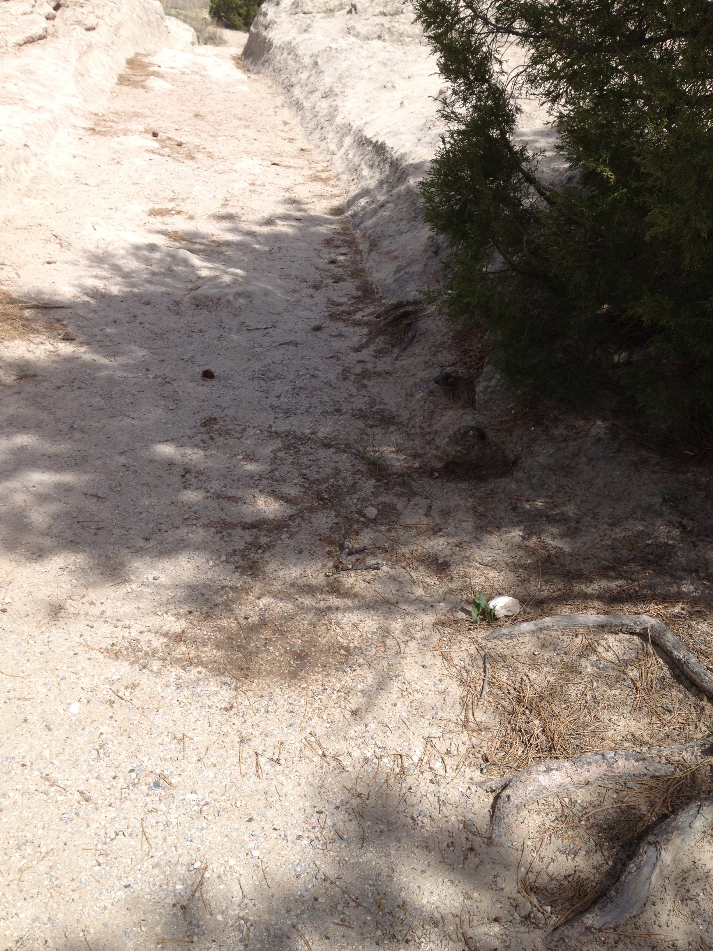
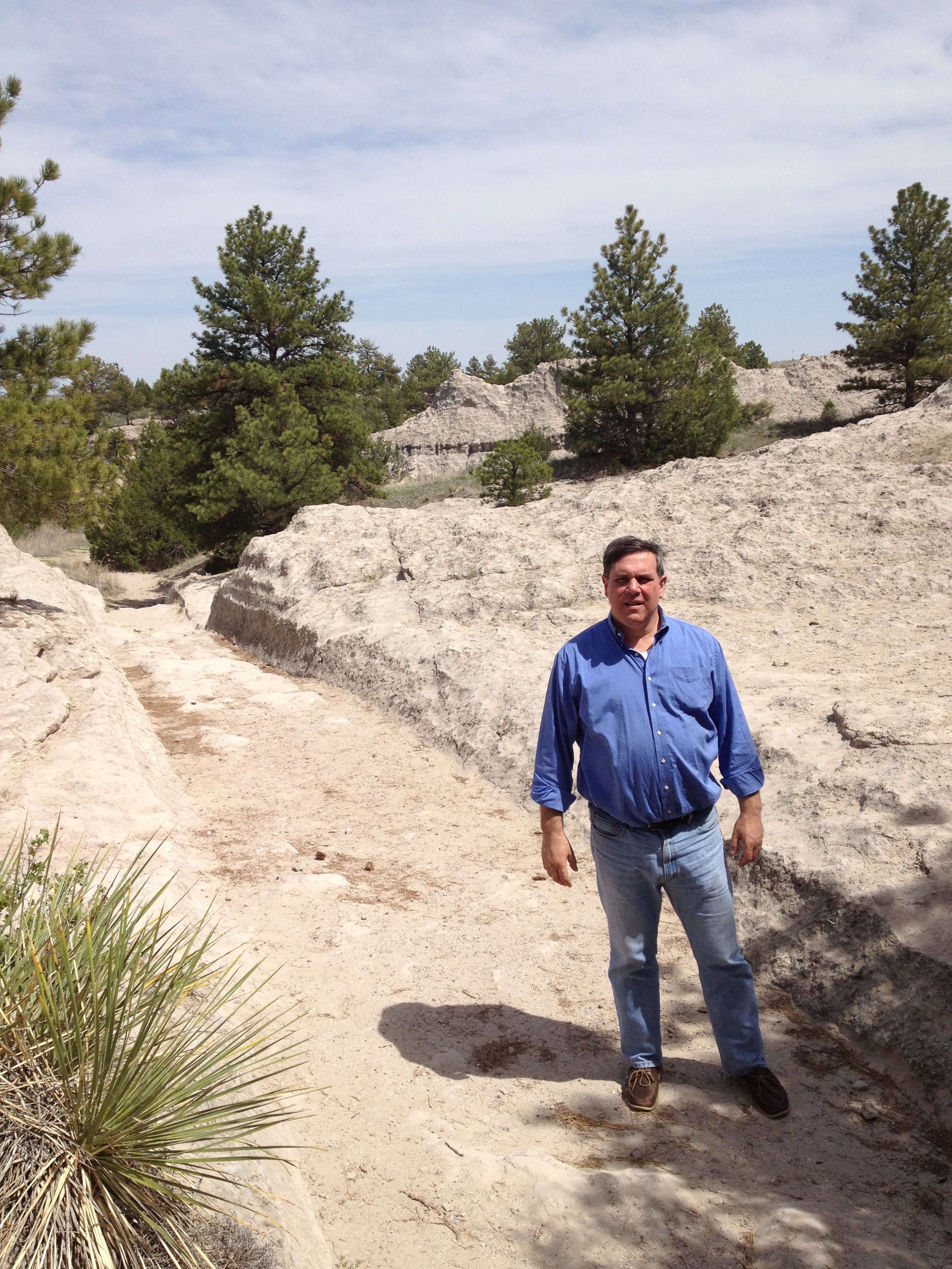
While the goal for the day was the Little Big Horn in Montana, there was a Historical Marker, which the Boys are always a sucker for checking out. So just north of Cheyenne, in Guernsey (ain't this in Wisconsin) is the Oregon Trail National Trail Ruts.
The Leaky Oregon Trail!!!
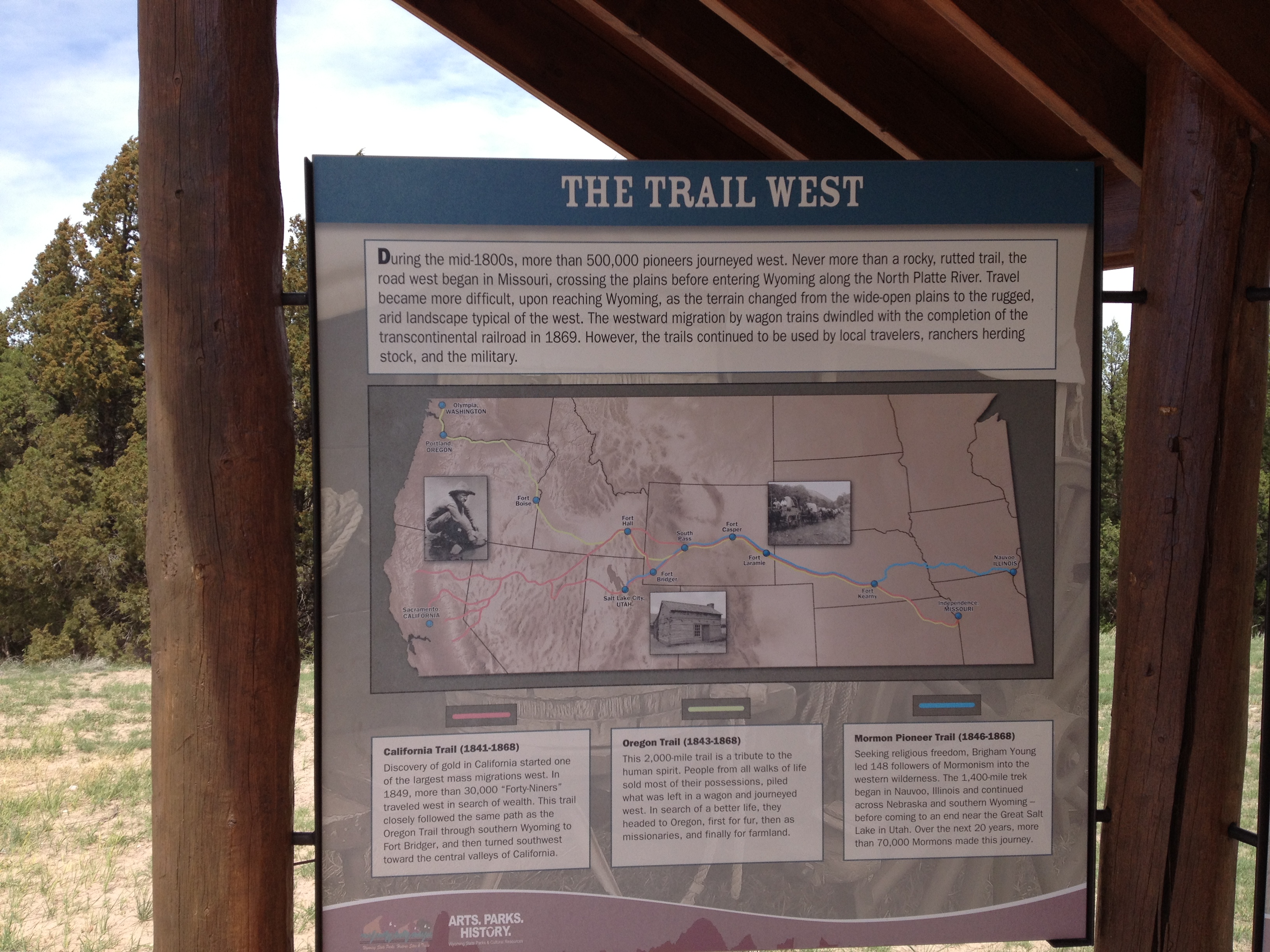
The Oregon Trail was a 2,200-mile historic east-west large wheeled wagon route and emigrant trail that connected the Missouri River to valleys in Oregon. The eastern part of the Oregon Trail spanned part of the future state of Kansas and nearly all of what are now the states of Nebraska and Wyoming. The western half of the trail spanned most of the future states of Idaho and Oregon. The Oregon Trail was laid by fur trappers and traders from about 1811 to 1840 and was only passable on foot or by horseback. By 1836, when the first migrant wagon train was organized in Independence, Missouri, a wagon trail had been cleared to Fort Hall, Idaho.
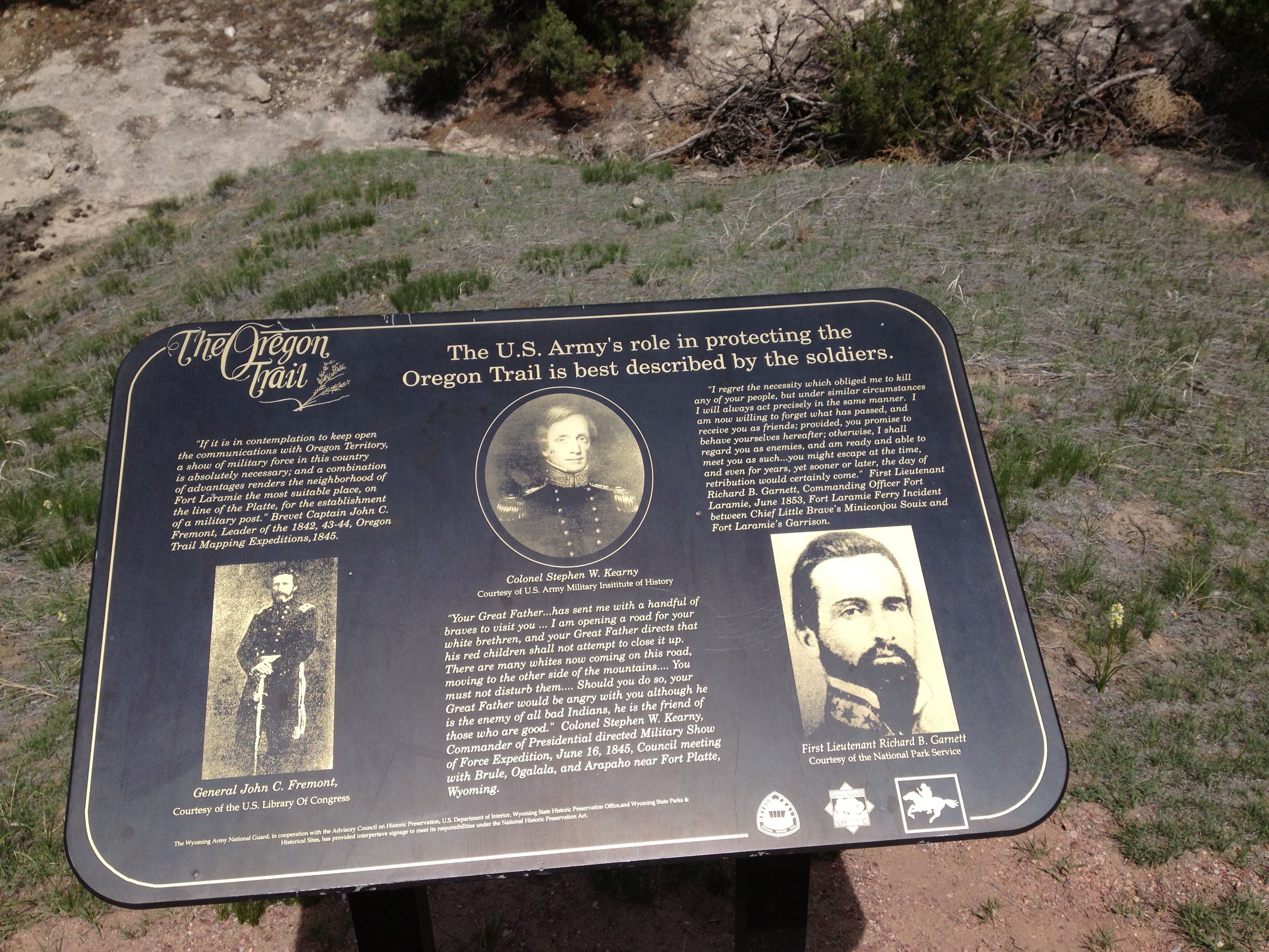
Wagon trails were cleared further and further west, eventually reaching all the way to the Willamette Valley in Oregon. What came to be called the Oregon Trail was complete, even as improved roads, cutoffs, ferries and bridges made the trip faster and safer almost every year. From various starting points in Missouri, Iowa or Nebraska Territory, the routes converged along the lower Platte River Valley near Fort Kearny, Nebraska Territory and led to rich farmlands west of the Rocky Mountains. From the early to mid-1830s (and particularly through the epoch years, 1846–1869) the Oregon Trail and its many offshoots were used by about 400,000 settlers, ranchers, farmers, miners, and businessmen and their families. The eastern half of the trail was also used by travelers on the California Trail (from 1843), Bozeman Trail (from 1863), and Mormon Trail (from 1847) before turning off to their separate destinations. Use of the trail declined as the first transcontinental railroad was completed in 1869, making the trip west substantially faster, cheaper, and safer. Today, modern highways such as Interstate 80 follow the same course westward and pass through towns originally established to serve those using the Oregon Trail.
The Oregon Trail is better than Rutts Hutt (in New Jersey)
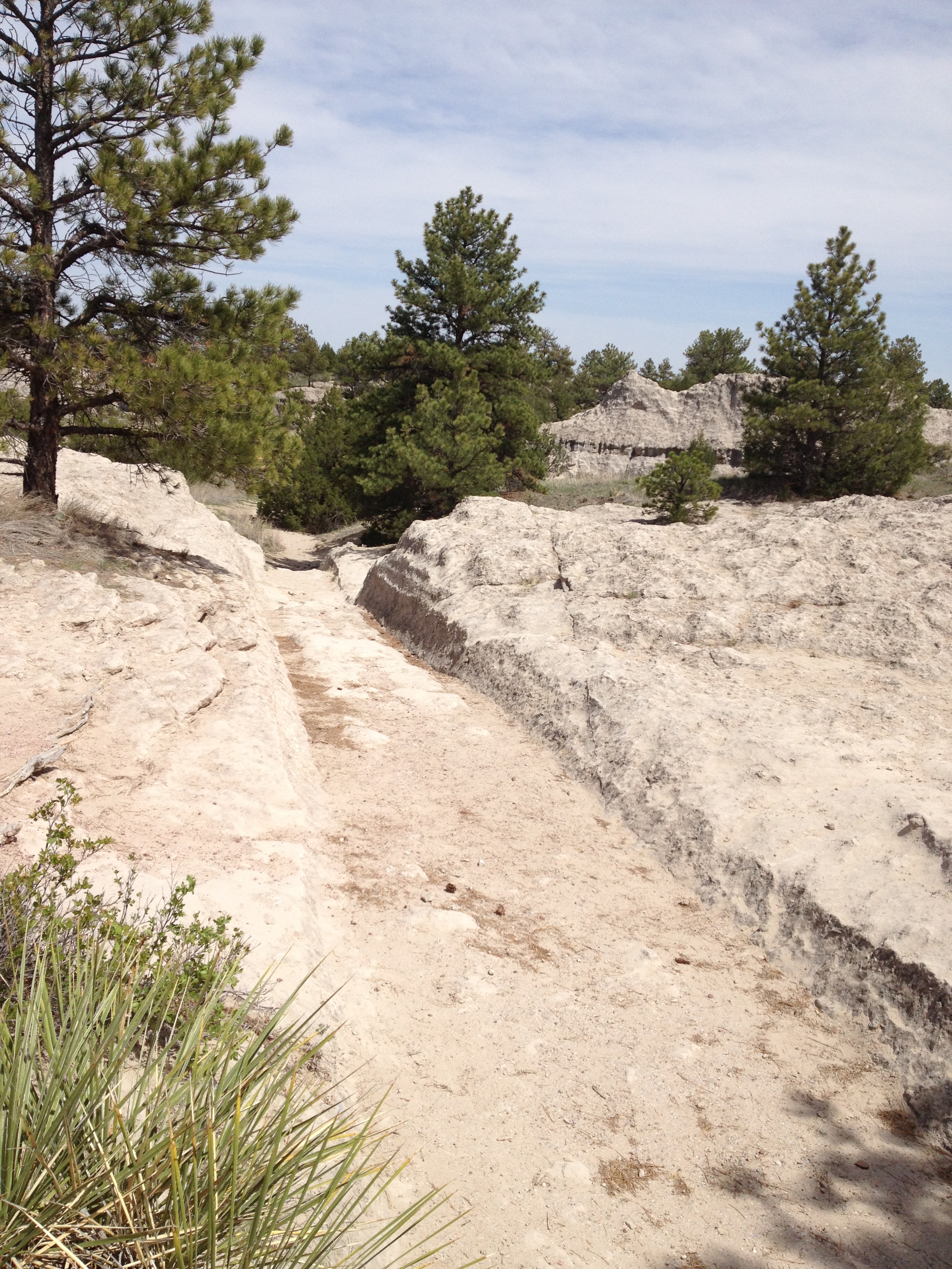
In the Guernsey, Wyoming site, the Oregon Trail here was winding up towards South Pass. Wagon wheels, draft animals, and people wore down the trail about two to six feet into a sandstone ridge here, during its heavy usage from 1841-1869. The half-mile stretch is "unsurpassed" and is the best-preserved set of Oregon Trail ruts anywhere along its former length. It was declared a National Historic Landmark in 1966.
Mike, (Literally!) on the Oregon Trail!
Bone, Nitrogenating the Oregon Trail!
Mike, fleeing the scene of the crime!!
Gunning out of Guernsey!
Mike and Bone drove through the little town of Guernsey which had an Irish Bar which the Boy considered checking out until the saw a girl with more digits on her hands that teeth in her mouth and decided to press on to an even more obscure historical site, Fort Fetterman !
Futzing around Fort Fetterman!
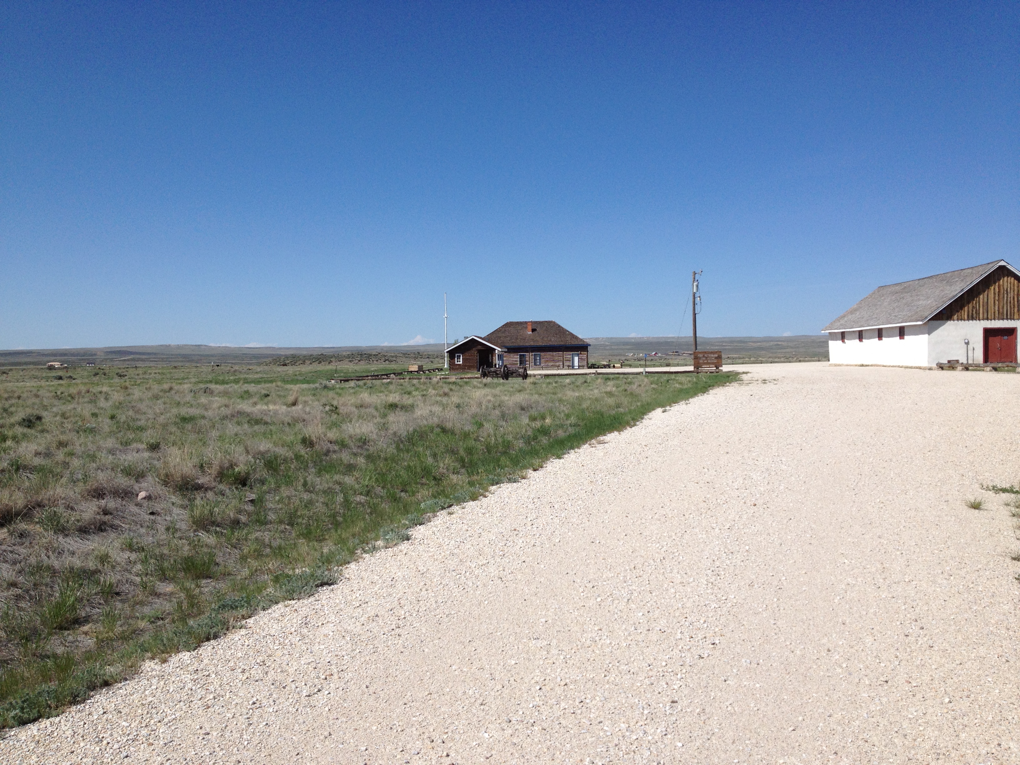
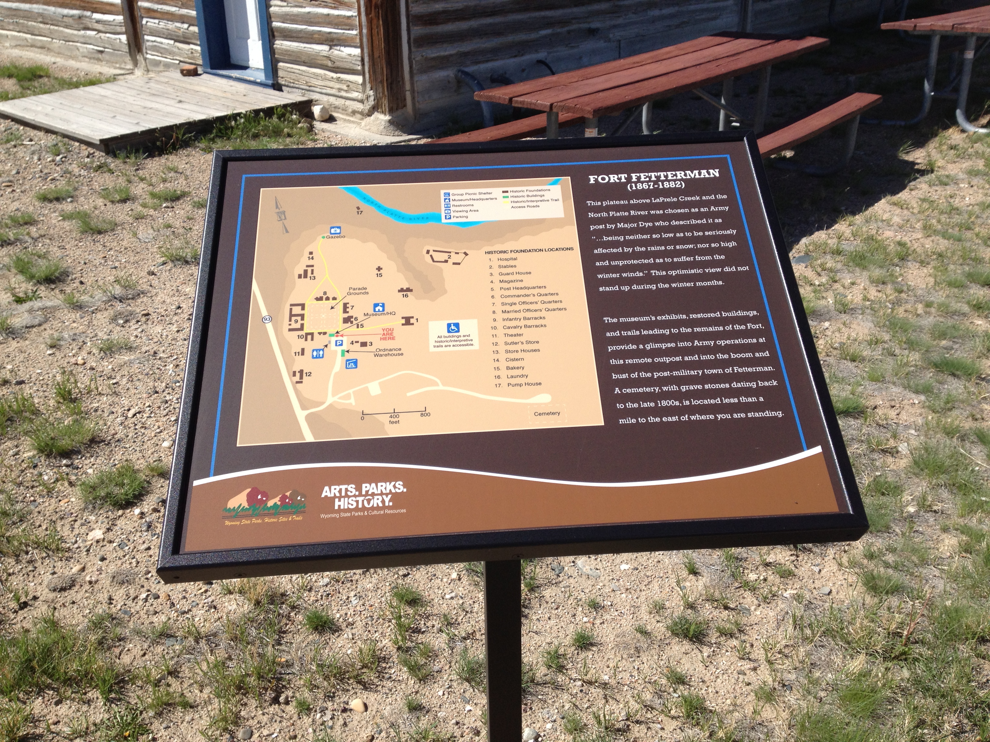
Fort Fetterman was a wooden fort constructed in 1867 by the United States Army on the Great Plains frontier in the Dakota Territory approximately 11 miles northwest of present-day Douglas, Wyoming. It was located high on the bluffs on the south side of the North Platte River. It served as a major jumping-off point for the start of several major military expeditions against warring Native American tribes and soldiers there helped protect pioneers on the Bozeman Trail. It is listed on the National Register of Historic Places.
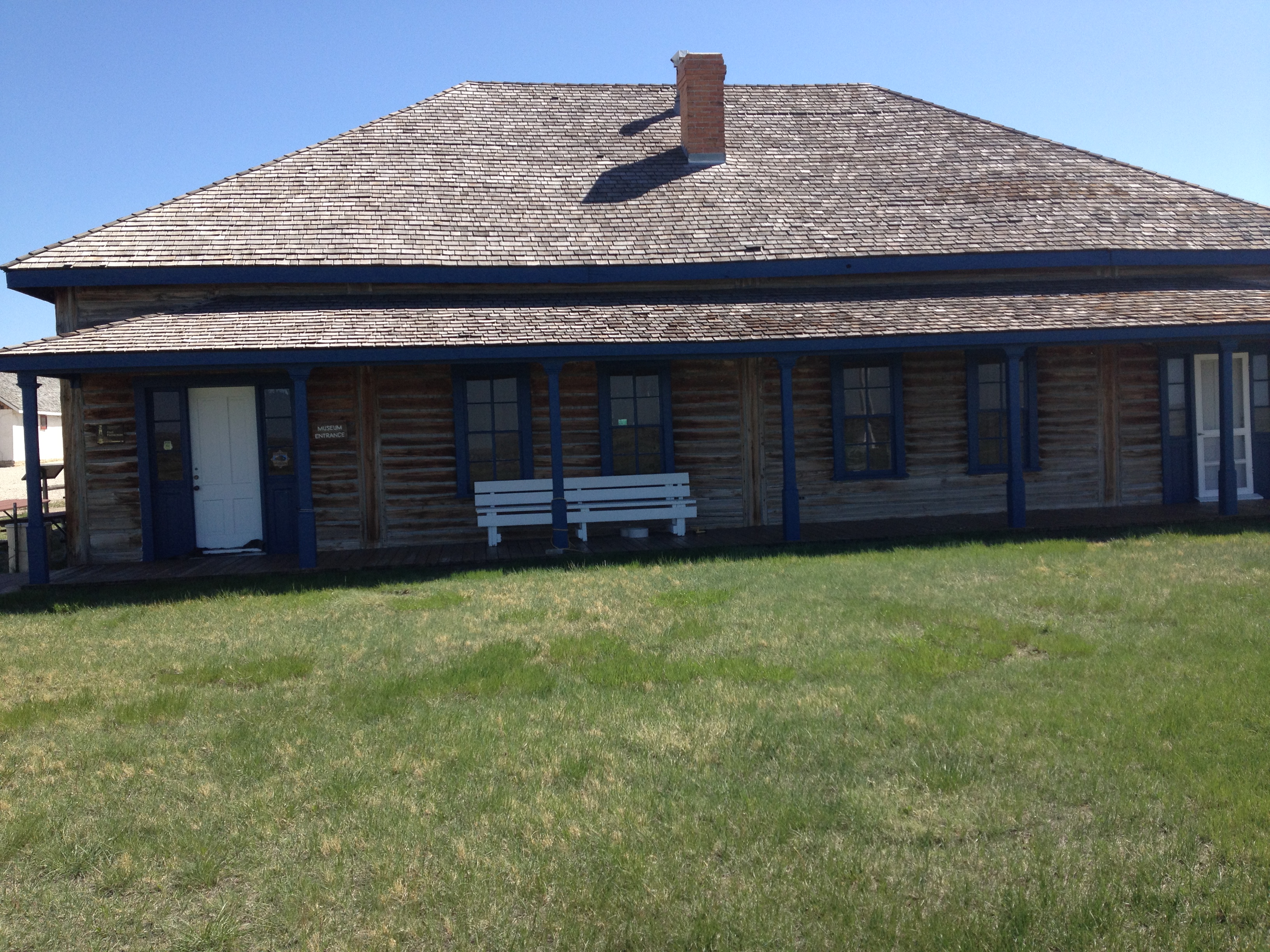
The Historic site is one of few original frontier Posts with existing buildings. Considered a hardship post at the junction of the Bozeman and Oregon/Mormon Trails. Open from 1867 to 1882, becoming a very Wild West town until 1887 with shootouts, robbings, and hangings. Fort Fetterman, located north of Douglas, Wyoming, is situated on a plateau above the valleys of LaPrele Creek and the North Platte River. The fort was established as a military post on July 19, 1867, because of conditions that existed on the Northern Plains at the close of the Civil War.
Civilization was advancing across the frontier along the line of the Union Pacific Railroad and the fort was needed as a major supply point for the army operating against the Indians. On July 31, 1867, the post was named Fort Fetterman in honor of Captain William J. Fetterman who was killed in a fight with Indians near Fort Phil Kearny, December 21, 1866. Major William McEnery Dye, with Companies A, C, H, and I, 4th Infantry, was assigned to build the post. In a letter to the Adjutant General, Major Dye described the post and surrounding country as ...situated on a plateau...above the valley of the Platte, being neither so low as to be seriously affected by the rains or snow; nor so high and unprotected as to suffer from the winter winds." Unfortunately, Major Dye's optimistic view of the site did not hold true for winter months. In November of 1867, Brigadier General H.W. Wessells became commanding officer at the fort. According to his report to the Department of the Platte, ..."officers and men, were found under canvas exposed on a bleak plain to violent and almost constant gales and very uncomfortable..." the garrison managed to get through the winter and the fort continued to grow and develop until 1870, it was well established, and destined to play a conspicuous part in the Indians wars for the next few years. Jim Bridger, Wild Bill Hickock, Calamity Jane and "Buffalo Bill" Cody were among the colorful personalities of the time whose activities and travels took them frequently to Fort Fetterman.
In accordance with the Treaty of 1868, Forts Reno, Phil Kearny, and C.F. Smith, along the Bozeman Trail were abandoned. Fort Fetterman, alone, remained on the fringe of the disputed area. As an outpost of civilization on the Western frontier, the fort represented protection and a haven to travelers. Fort Fetterman was always considered a hardship post by officers and men who were stationed there. On May 18, 1874, Captain F. Van Vliet, of Company C, 3rd Cavalry, felt so strongly about the hardships on his men that he wrote to the Adjutant General requesting his company be transferred because there was "...no opportunity for procuring fresh vegetables, and gardens are a failure. There is no female society for enlisted men...the enlisted men of the company are leaving very much dissatisfied, as they look upon being held so long at this post as an unmerited punishment...whenever men get to the railroad there are some desertions caused by dread of returning to this post..."
Desertions were common, and the post frequently lacked adequate supplies and equipment. Supplies had to be hauled from Fort Laramie to the southeast or from Medicine Bow Station on the Union Pacific Railroad. Luxuries were scarce and pleasures few. However the soldiers found some diversion from the garrison life at a nearby establishment known as the "Hog Ranch." During the mid-1870s, Fort Fetterman reached its pinnacle of importance when it became the jumping-off place for several major military expeditions. It was the base for three of General George Crook's Powder River Expeditions and Colonel Randall Mackenzie's campaign against Dull Knife and the Cheyenne Indians. These events contributed to the end of the resistance by the Plains Indians who shortly after were confined to reservations. With the passing of Indians from the scene, the fort had outlived its usefulness. When the military abandoned the fort in 1882, it did not die immediately. A community grew up at the post and after 1882, it was an outfitting point for area ranchers and for wagon trains. The boom was short-lived, however, and in 1886, the town of Douglas was founded a short distance to the south. The old fort, in a state of decay, lost out as a town and declined rapidly. Most of the buildings were sold, dismantled or moved to other locations.
Mountainous Montana
Around 7:00 PM the Boys crossed the State Line into Montana an immediately noticed a change in landscape, they were leaving the Great Plains and moving into the Badlands! A good place for bad people like Mike and Bone!
The Crow Agency
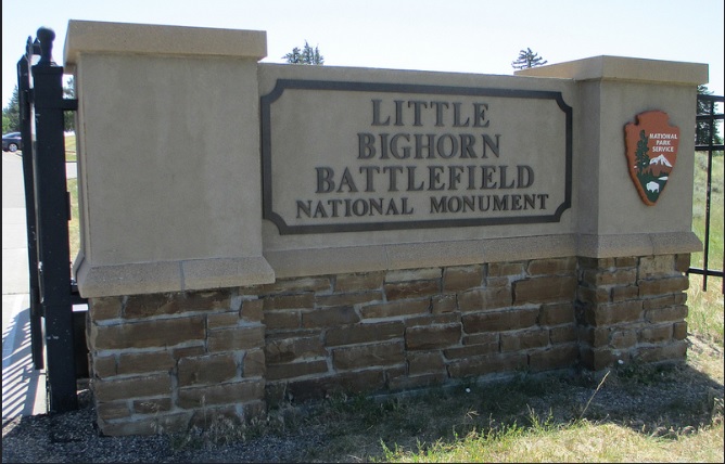
Another 30 minutes and the Boys entered the Crow Agency, home to the Little Big Horn! Now the question is, why isn't it the Sioux Indians?! Aren't they the tribe that kicked Custer's butt? Yes but they were the invaders (not the Americans!) The Sioux had been pushed out of Minnesota by the Michigan Chippewa, and for 50 years been moving west in the Dakota's (a Sioux Indian Tribe name) wiping out the Mandan's and Arikara's, and invading the territory of the Crows and later the Shoshone's (Sacajawea's Tribe.) On of the major reasons for the Great Sioux War (The the Little Big Horn was just one battle) was to coerce the Sioux out of Crow Territory and into their designated Reservation to the East in what is now Wounded Knee South Dakota. Driving around the hotel didn't look to good so the Boys headed north put in for the night in lovely Hardin Mountana!
Housed in Hardin