Day 7 Lewis & Clark, Again!
Main Page > 2021 Cruisin' and Abusing PCH Tour! >
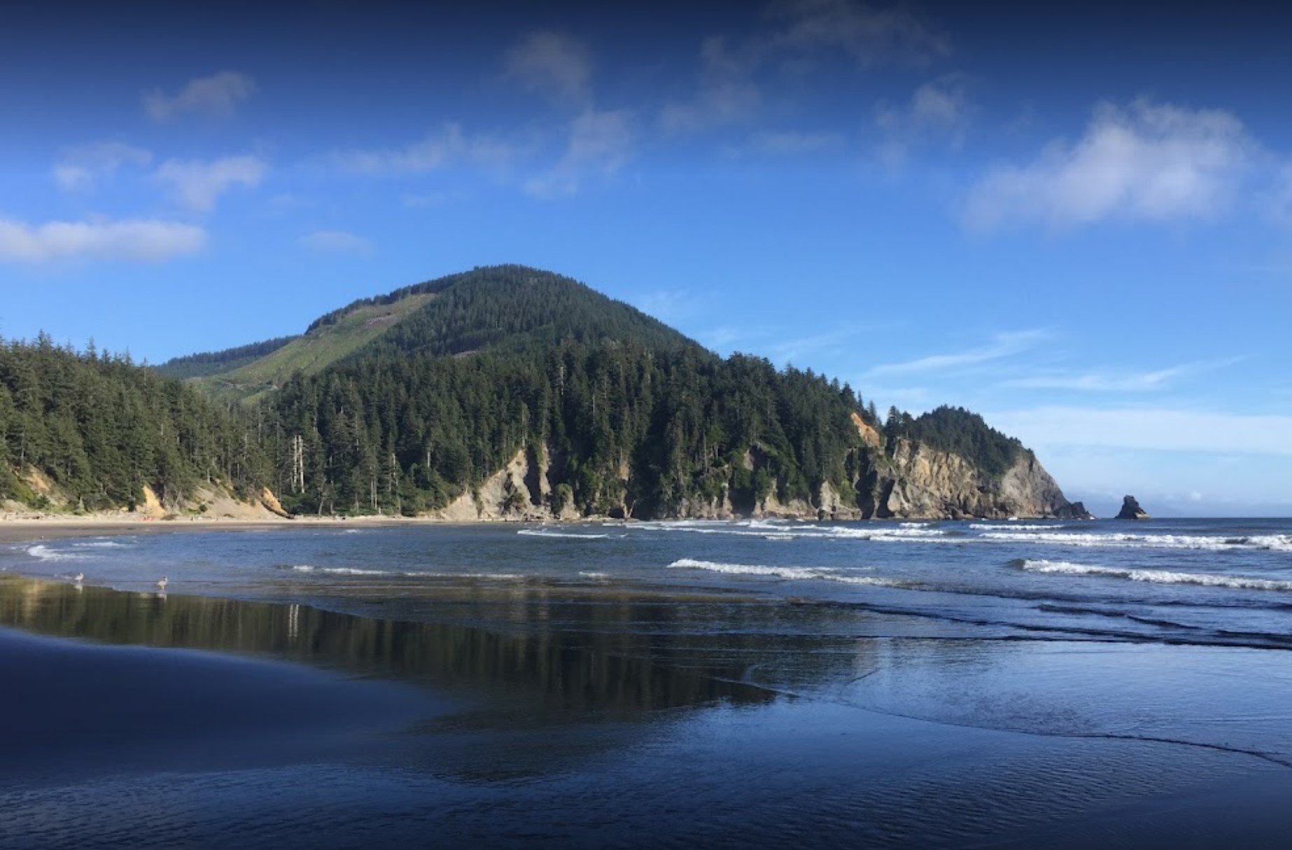
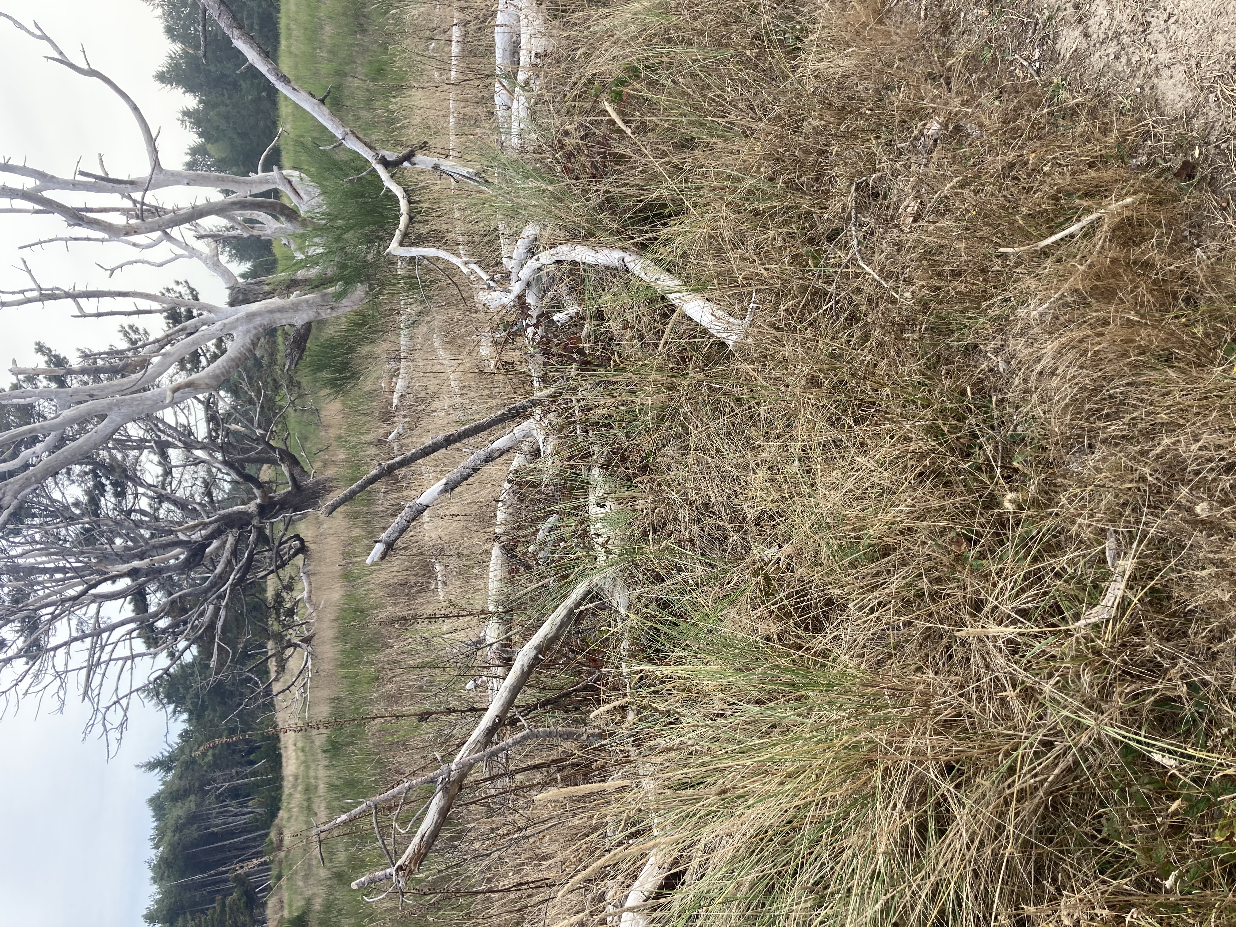
The next morning, Mike and Bone rose eager and chipper! Ready for some breakfast! Unfortunately it wasn't gonna happen! Similar to Fort Bragg, all the restaurants were either closed or wouldn't open till 10:00. So with heavy hearts and McDonalds coffee, the Boys headed on up PCH into the headlands of the Florence sand dunes.
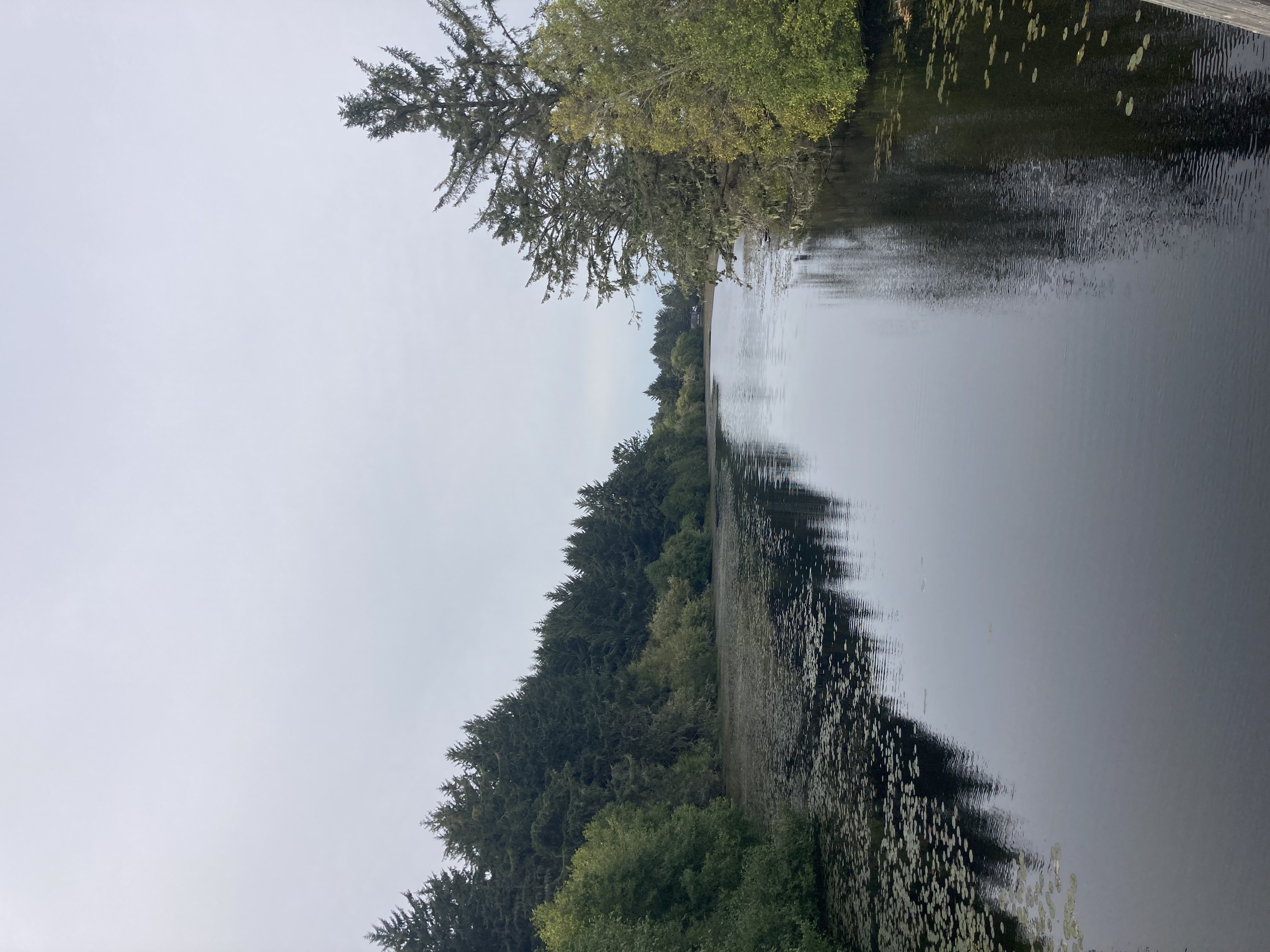
Heading through the Sand Dunes of Florence on PCH
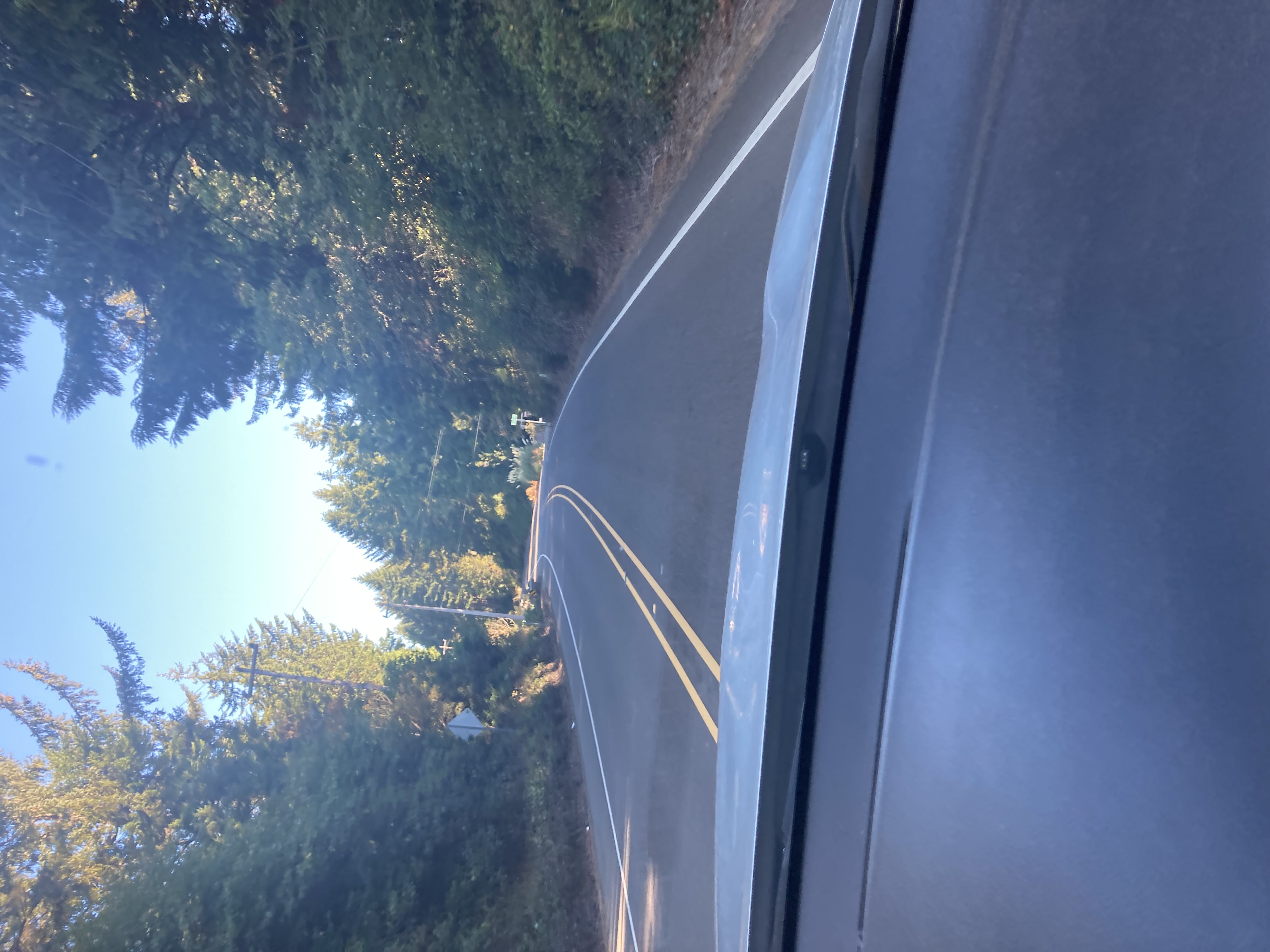
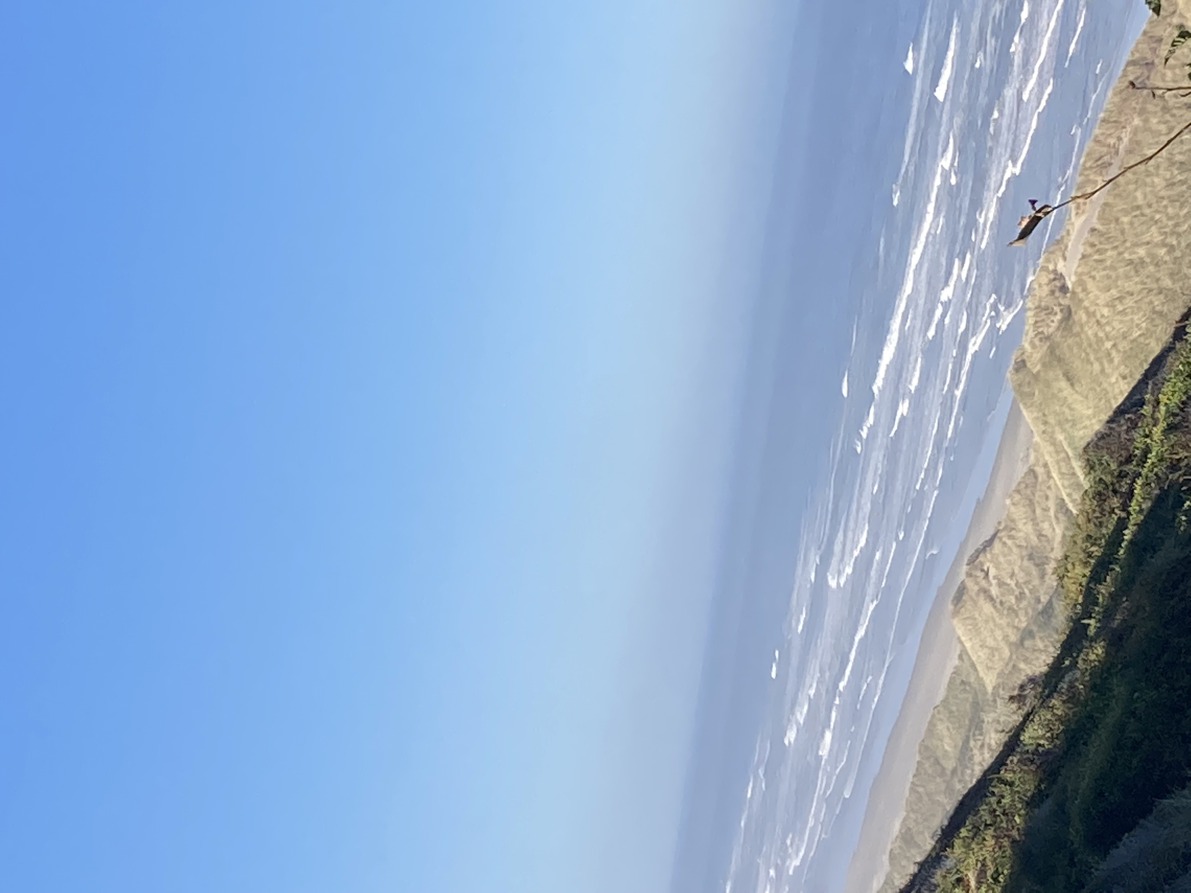
Driving up the coat through the Florence area, Mike and Bone checked out the vast dune system that was so different from the Northern California patch of PCH. About 13 miles north of Florence the Boys came upon an iconic sight.
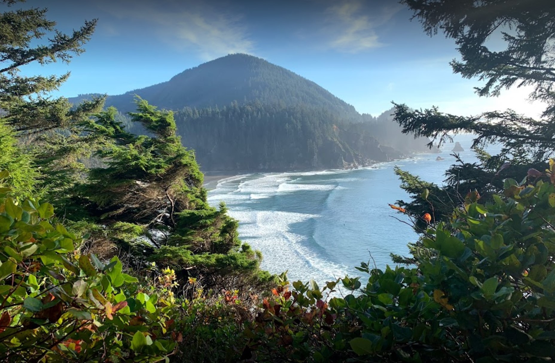
The Iconic Heceta Head Lighthouse
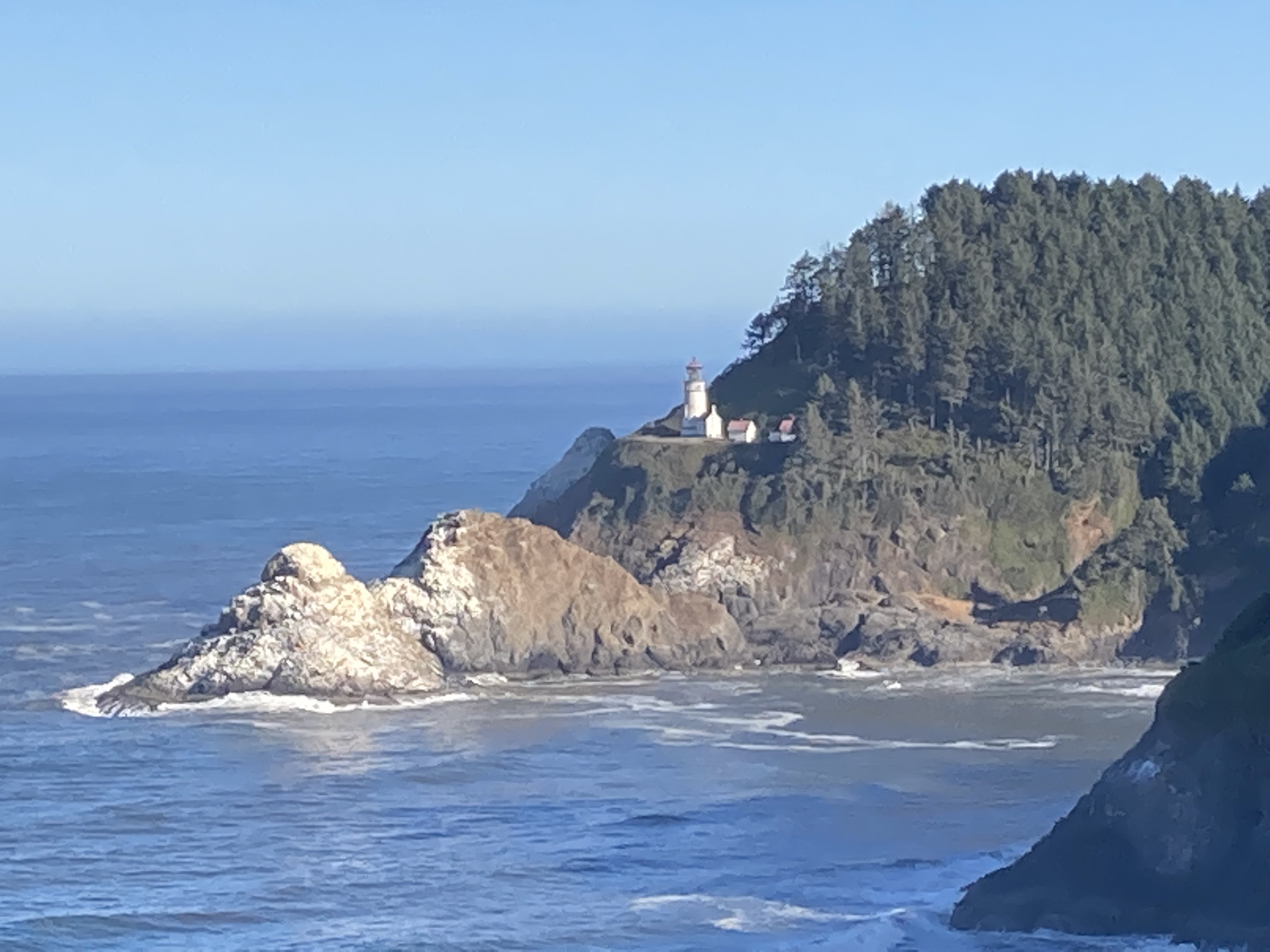
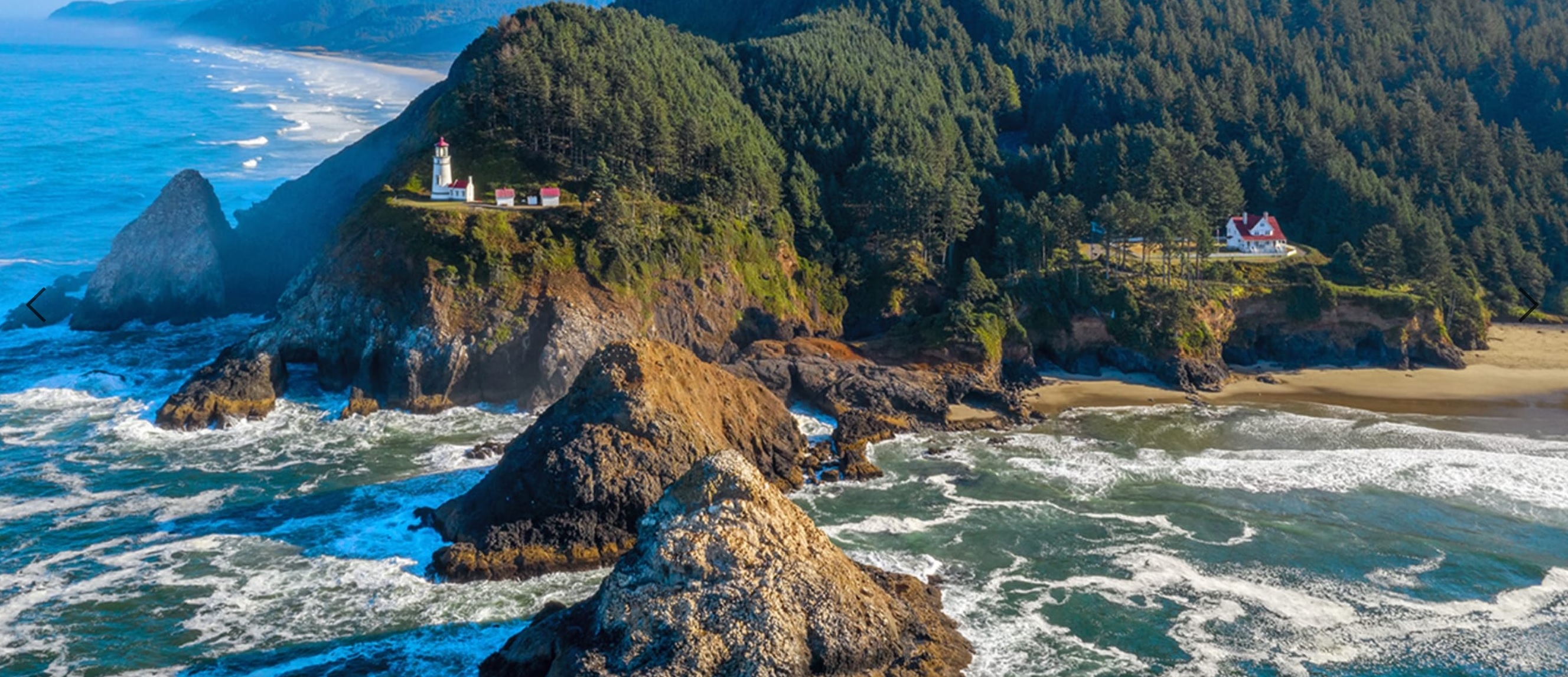
Mike and Bone stopped on a cliff, just opposite the Heceta Head Lighthouse, which for more than a century has helped seagoers navigate the Pacific Ocean’s treacherous currents. The cape owes its name to Don Bruno de Heceta, who in 1775 embarked on a secret voyage for the Queen of Spain to sail up the West Coast. Due to the onslaught of scurvy, Heceta and his crew turned back just before the Columbia River, but not before he noted the shallow waters and rocky headland that now bear his name.
A century later, mariners frequenting the dark waters between Coos Bay and Newport asked for a lighthouse to guide their journeys up and down the coast. Heceta Head proved an ideal location, but the construction project in this isolated place was no small feat. In 1892, an order was placed with the Chance Brothers in England for a powerful First Order Fresnel Lens to be shipped to Heceta Head, where construction of two Queen Anne-style Lightkeepers’ houses and Lighthouse tower had already begun. Building materials were transported over a single lane wagon road or placed on rafts and pushed overboard at Cape Cove to float ashore with the incoming tide.
On March 30, 1894, the lighthouse cast its first beam. The first eight years were trying times for the three Lightkeepers and their families who lived in the little community of Heceta Head.
During World War II, the Coast Guard Beach Patrol manned Heceta Head with 75 men. They guarded the beaches between Florence and Yachats with attack dogs and lived in 2 wooden barracks where the Head Keeper’s house once stood When the Keepers House was placed on the National Registry of Historic Places in 1973, the U.S. Forest Service looked for alternative uses that would allow the Keepers House to be more accessible to the public and to share the rich history. It was decided that a Bed & Breakfast would make this feasible.
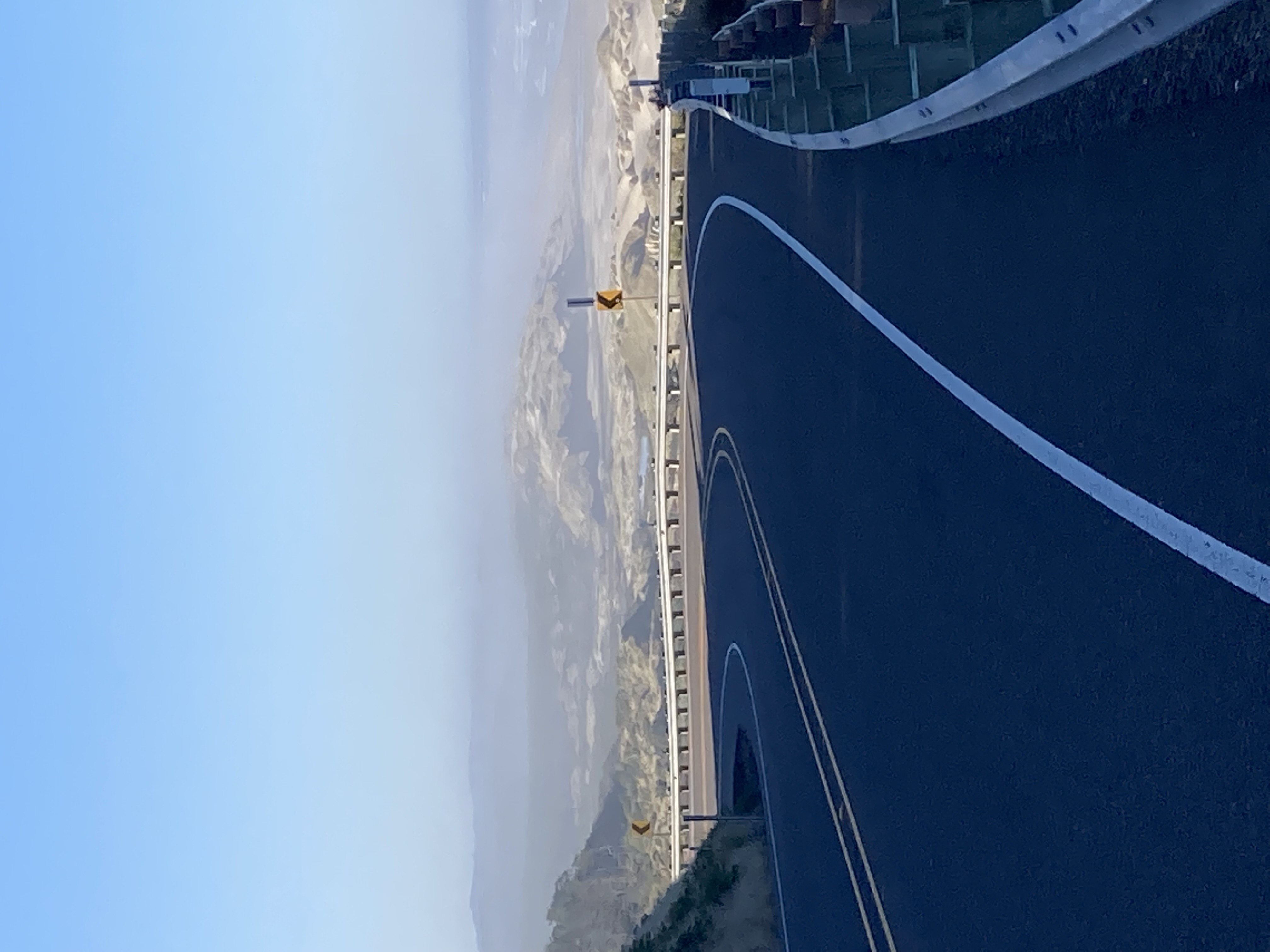
Heceta Head entered a new era in 1995, when Mike and Carol Korgan were chosen to be the first Innkeeper’s for the Heceta Lighthouse Bed & Breakfast. As volunteers, the Korgans helped start the careful restoration of the interior. Now retired, their daughter Michelle continues to restore the Keepers House and invite the public to enjoy this National Treasure. While a breathtaking view, Mike and Bone had a lot of road in front of them and decided to take a few pictures and then moved along.
Zooming thru the Bucolic Nehalem River Area
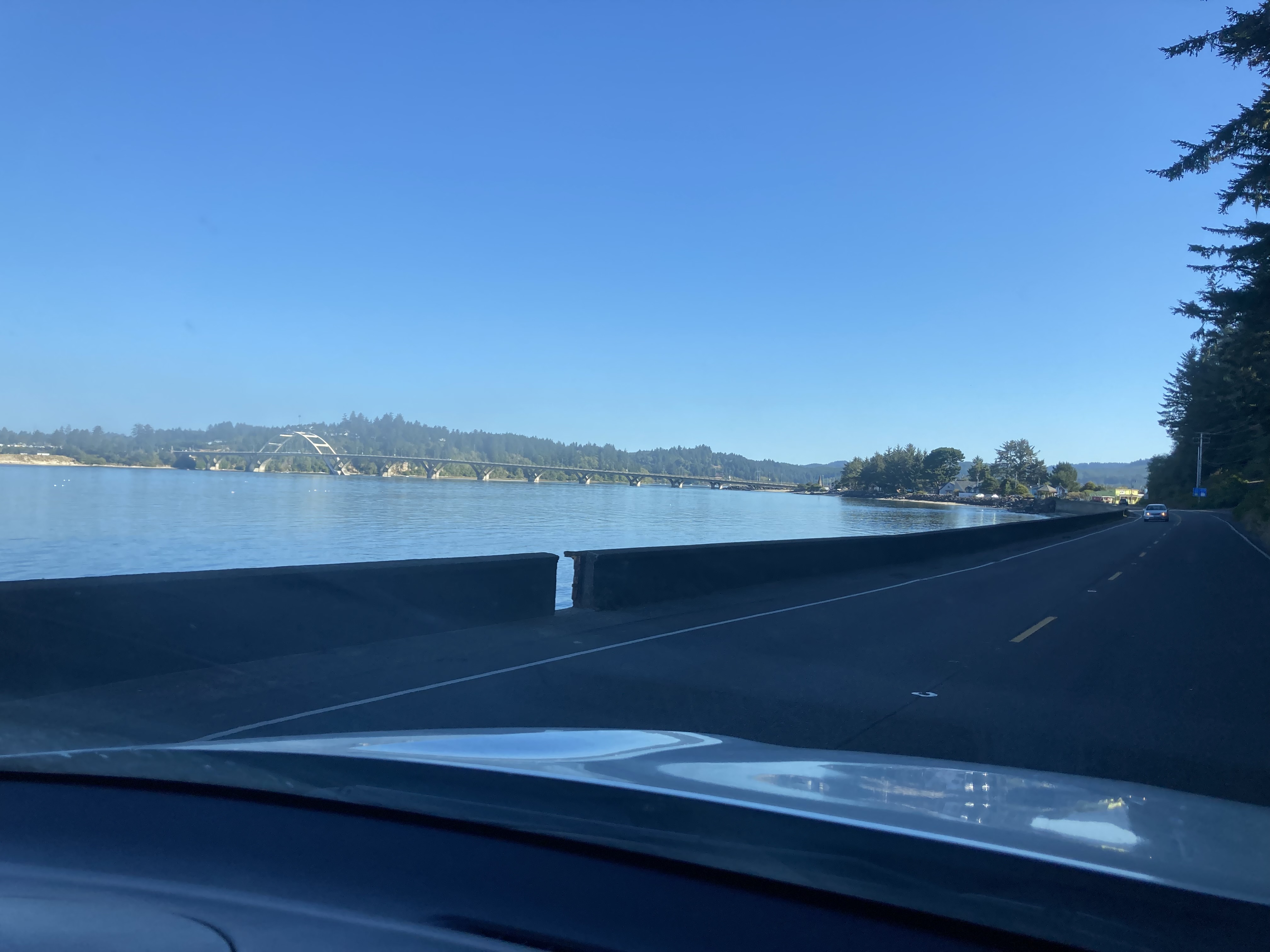
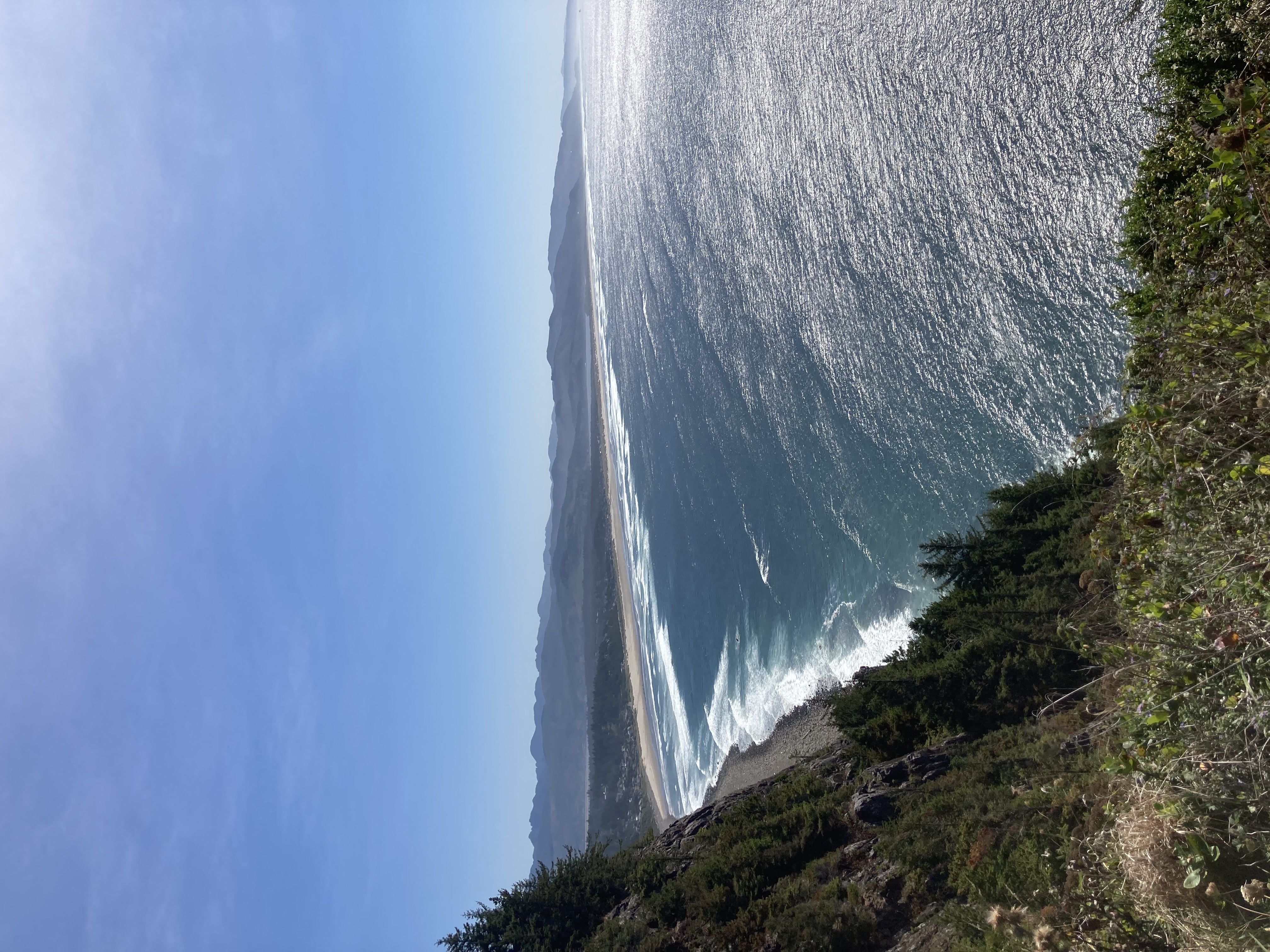
This days trip was all Oregon coastline, pristine and beautiful, not quite as rugged as Big Sur but every bit as beautiful in its own right. Mike and Bone drove for several hours enjoying the largely quiet roads, one of the advantages of a fall trip is most of the family vacationers are not on the road, leaving a peaceful and bucolic scene to ramble on. Around 11:00 the Boys stopped for an extremely beautiful park just of the Cape Falcon Marine Reserve.
Oswald West State Park
With the panoramic view of the Pacific, Mike and Bone stopped to stretch their legs at the beautiful State Park named after Oswald D. West, who served as Oregon's fourteenth governor between 1911 and 1915. As Governor, West defended what he called the Oregon System which included initiative and referendum systems still in use in many western American states today. Through these processes women's suffrage, various worker’s rights laws, and most infamously prohibition all came into effect during West's administration.
PCH in Oregon owes much to West, who established Oregon's beach highway law, proclaiming the entire Pacific coastline to the high tide line to be a public highway, thereby preserving scenery and beach access for future generations. The law protecting public access to the high-water line remains in effect on Oregon beaches, which is one of the reasons the State Park was named in his honor.
Unfortunately, Mike and Bone had a empty Hall of Shame or they would have toasted Ossie’s ill-fated, wrong-headed attempts for temperance through the prohibition bill and continued up the road!
Oregon-Style Fish & Chips!?!
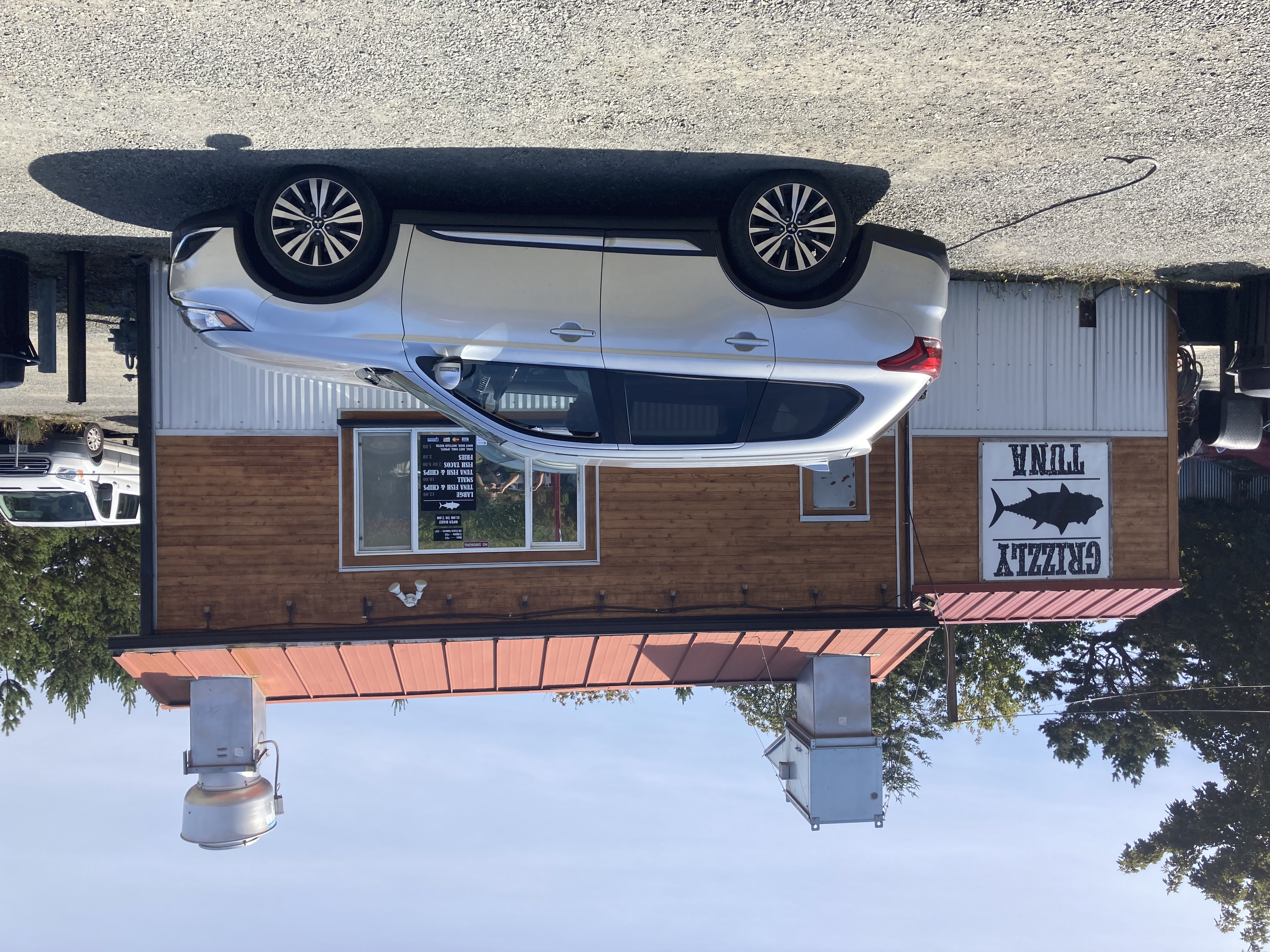
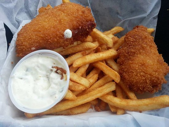
Around 2:00, Mike and Bone stopped in a little seafood drivethru in Seaside. Grizzly Tuna specialized in Tuna (instead of Cod) Fish and Chips.
The fish was,,, um, err, different. Not bad, but definitely different.
Fortunately it did hit the spot because shortly they saw the signs for one of the trips objectives. Fort Clatsop!
Lewis and Clark, Part Four?!?
Now before we go into the Fort Clatsop tour, it is interesting to note that Lewis and Clark has been a common thread in Mike and Bone adventures. In fact their first tour in New Orlean's they were thrown out of St Louis for peeing on the Gateway Arch. A museum of where Lewis and Clark started their Voyage of Discovery. They totally missed on the mis-adventures on the Lewis and Clark Tour on the Salmon River. And of course, the epic time that the Boys rolled into Fort Mandan on the Bone's Last Stand Tour, they convinced a Museum Curator to re-open the Fort for a free tour! So in many ways, checking out the farthest point Lewis and Clark journeyed on the Pacific Coast made perfect sense!
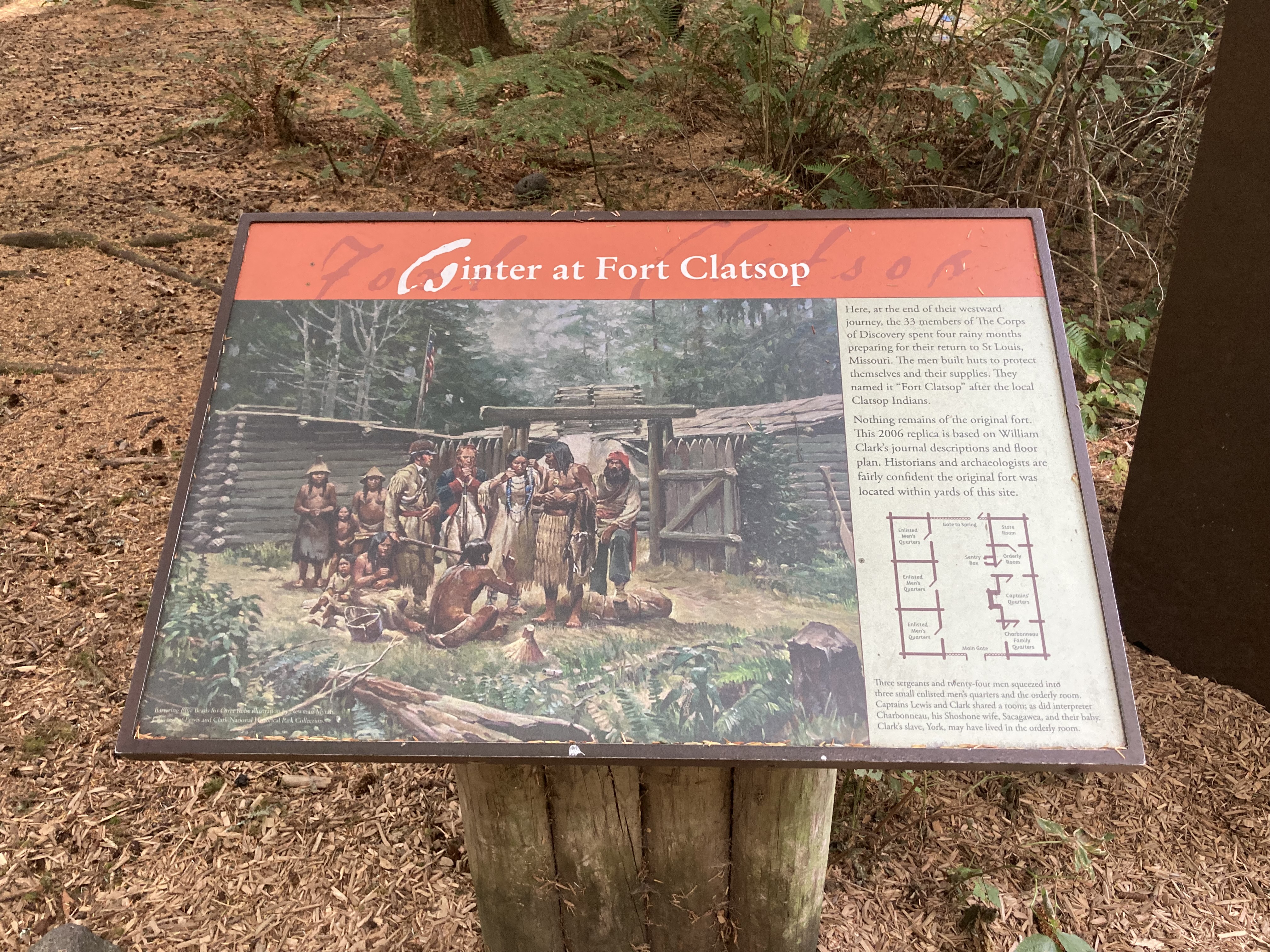
Lewis and Clark Westernmost site, Fort Clatsop!
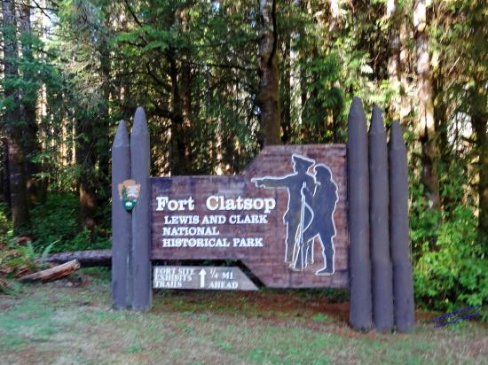
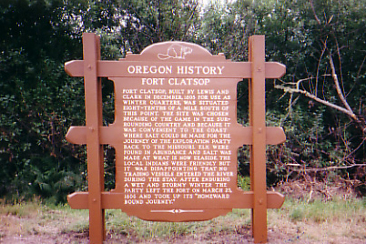
Entering the Fort Clatsop Vistor Center, Mike and Bone learned that the Fort was the encampment of the Lewis and Clark Expedition in the Oregon Country near the mouth of the Columbia River during the winter of 1805–1806 and represented the successful completion of their mission of making the coast. The Expedition used this winter’s stay to prepare to return to the east.
In late November 1805, after spending a number of days in what is today the state of Washington, Lewis and Clark proposed that the Corps of Discovery move to a location along the Columbia River, based on a recommendation of the local Clatsop Indians.
The group decided to vote on the matter, with everyone, including the young Native American female Sacagawea and African American slave York, participating. It was quite amazing in the fact that was the first time in American History that an Indian, Woman, and African-American were allowed to vote. The group was given three choices: stay on the Washington side of the Columbia River, and be subjected to diets of fish and rainy weather, move upriver, or take the advice of the Clatsop Indians and explore the area to the south of the River. The expedition overwhelmingly decided to take the advice of the local Indians to explore the idea of spending the winter on the southern shore of the River.
"The Beginning of Oregon History!
The group decided to vote on the matter, with everyone, including the young Native American female Sacagawea and African American slave York, participating. It was quite amazing in the Finally, Lewis went out checking for good ground and on December 7, 1805, the Corps of Discovery began the short journey to the current location. Upon arrival, the men split into different groups: Clark led a party to the Pacific Ocean in search of salt, while Lewis split the remaining men into two groups. One group was in charge of hunting, while the other was in charge of cutting down trees to be used in the construction of the fort.
Construction of the fort was slow, due to the incessant rain and never-ending wind that made working conditions less than ideal. On December 23, people started to move into the dwelling, even though it didn't yet have a roof. The next day, Christmas Eve, everyone moved in. On Christmas Day it was named "Fort Clatsop" in reference to the local Indian tribe.
During their time their, it rained incessantly, toward the end of thay monotonous winter they spent at Fort Clatsop, the men were desperate to return east. Everyone was sick and quite restless, and the steady diet of elk was becoming unbearable. Moreover, even the elk were becoming more difficult to find. Originally, Meriwether Lewis determined the departure date would be April 1, but it was later moved up to March 20. Ultimately, they didn't leave until two days after that due to poor weather. In order to travel back up the Columbia and reach the mountains, the group was desperately in need of canoes. The Clatsop’s had a number of them but refused to trade with Lewis and Clark. Eventually, an agreement was reached for one canoe, but Lewis decided they had no choice but to steal a second one, since they couldn't all travel without at least two boats. Finally, on March 22, the Corps of Discovery began the long journey back to St. Louis.
As a parting gift, Lewis gave Fort Clatsop to Coboway, the chief of the Clatsops. Lewis and Clark had no use for the fort, as they were returning east with no plans to revisit the fort in the near future. The Clatsops used the fort as a useful base for security and other purposes, though they did strip away part of the wood for other uses. Over the years the original Fort Clatsop had rotted away by the middle of the 19th century due to the heavy rainfall.
The site is now protected as part of the Lewis and Clark National Historical Park, part of which was formerly known as Fort Clatsop National Memorial until 2004. While the original Fort Clatsop decayed in the wet climate of the region but was reconstructed for the sesquicentennial in 1955 from sketches in the journals of William Clark. Mike and Bone also recognized that they used the exact same design for Fort Mandan.
Sacawejea and Baby Pompey!
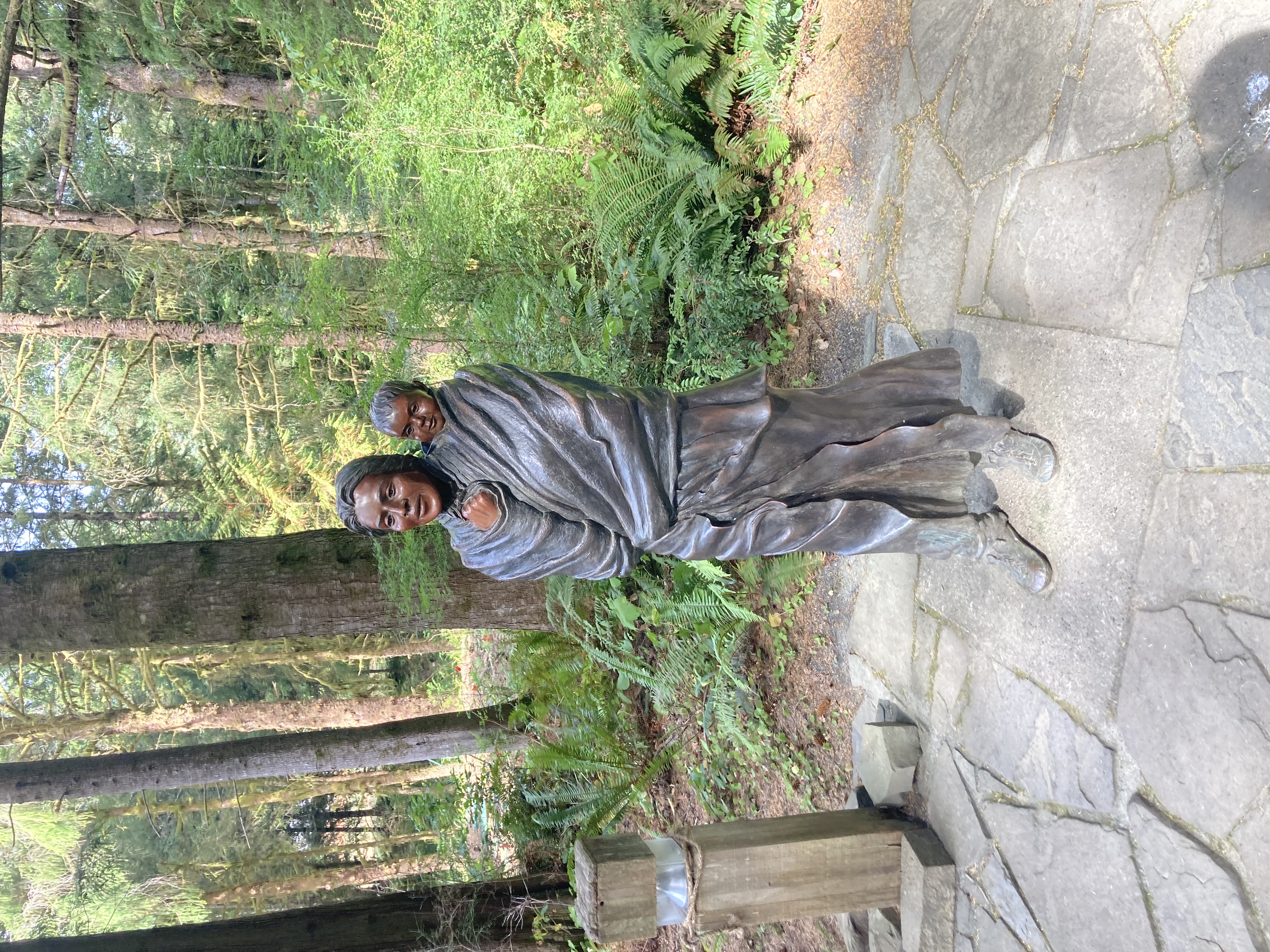
Clatsop decayed in the wet climate of the region but was reconstructed for the sesquicentennial in 1955 from sketches in the journals of William Clark. Leaving the Center Mile and Bone walked past a idealized version of Sacawejea and her baby to the reconstructed Fort.
Fort Clatsop 2021
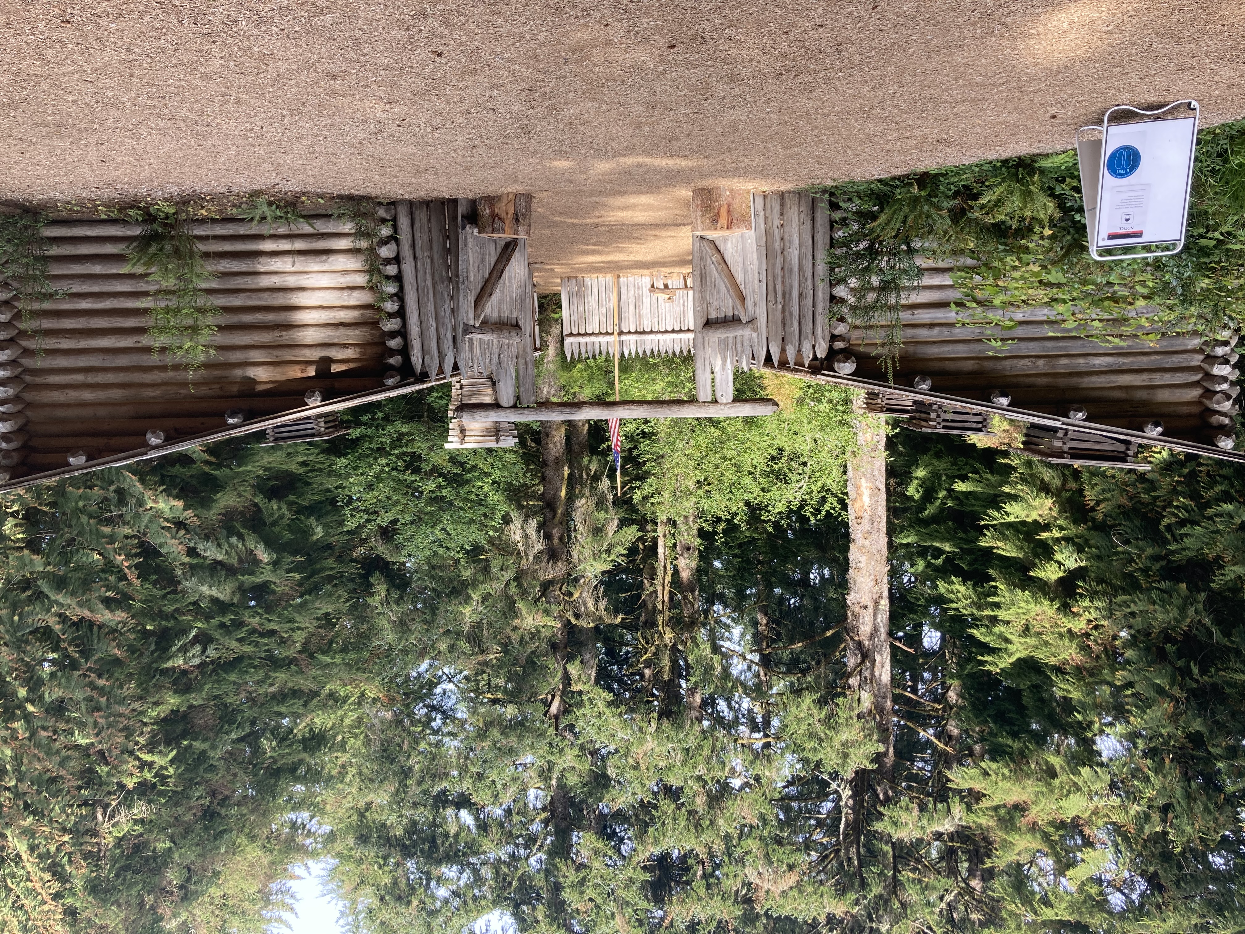
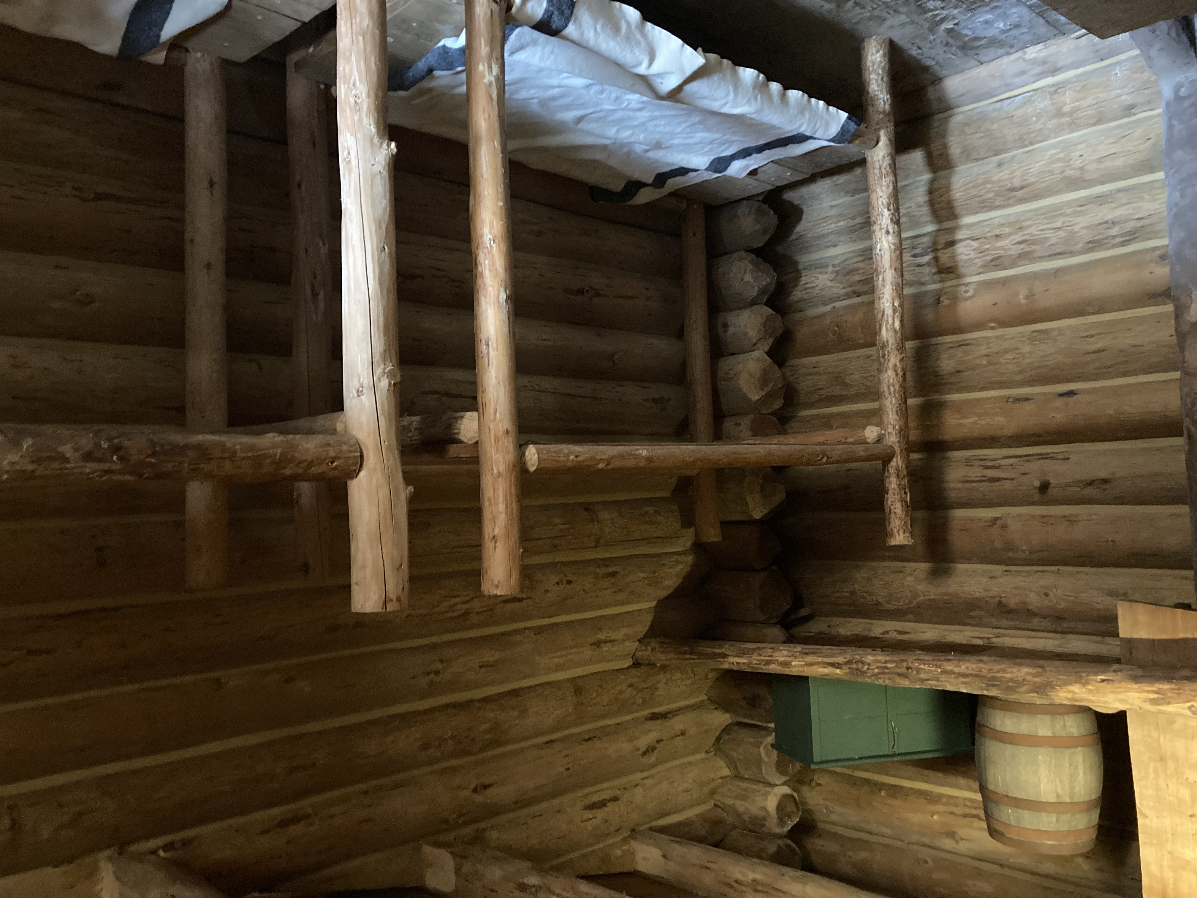
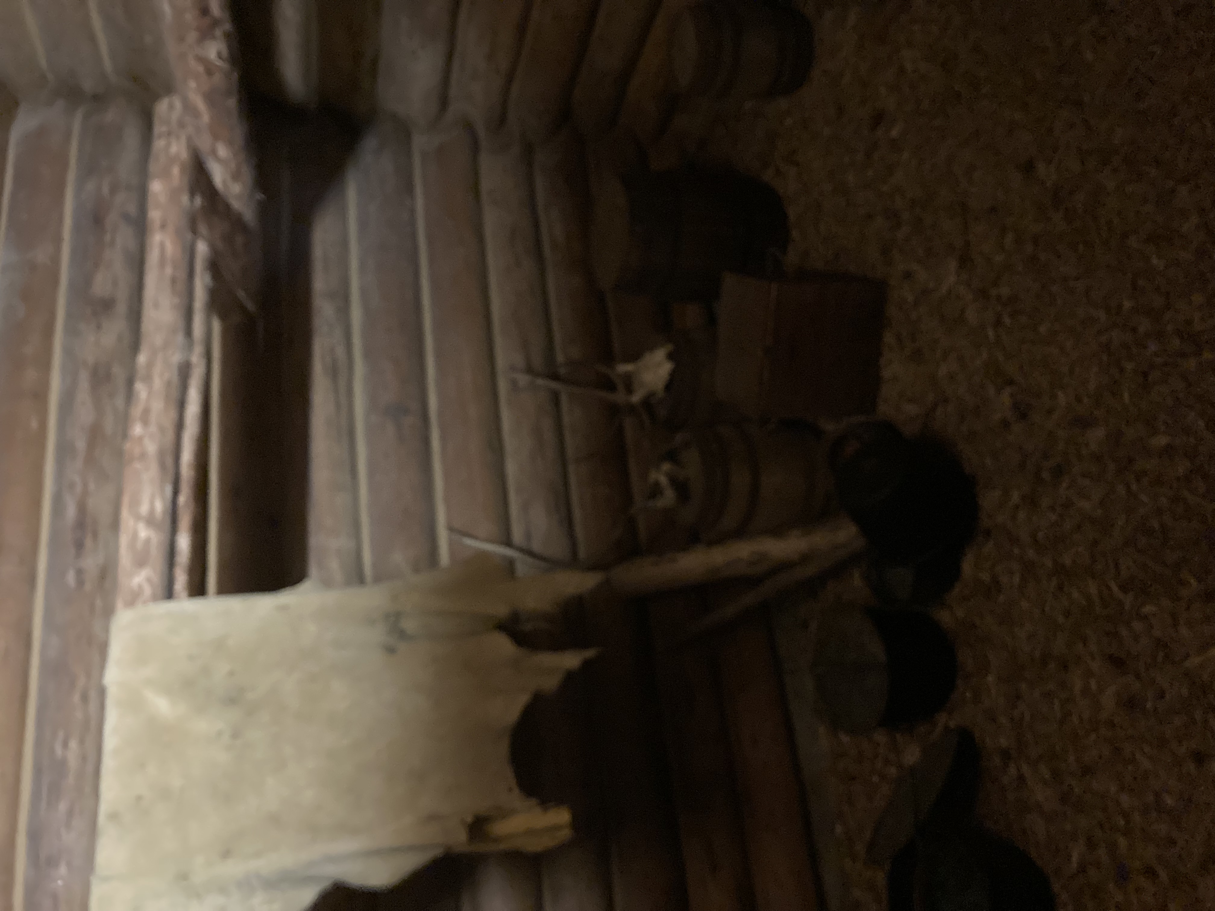
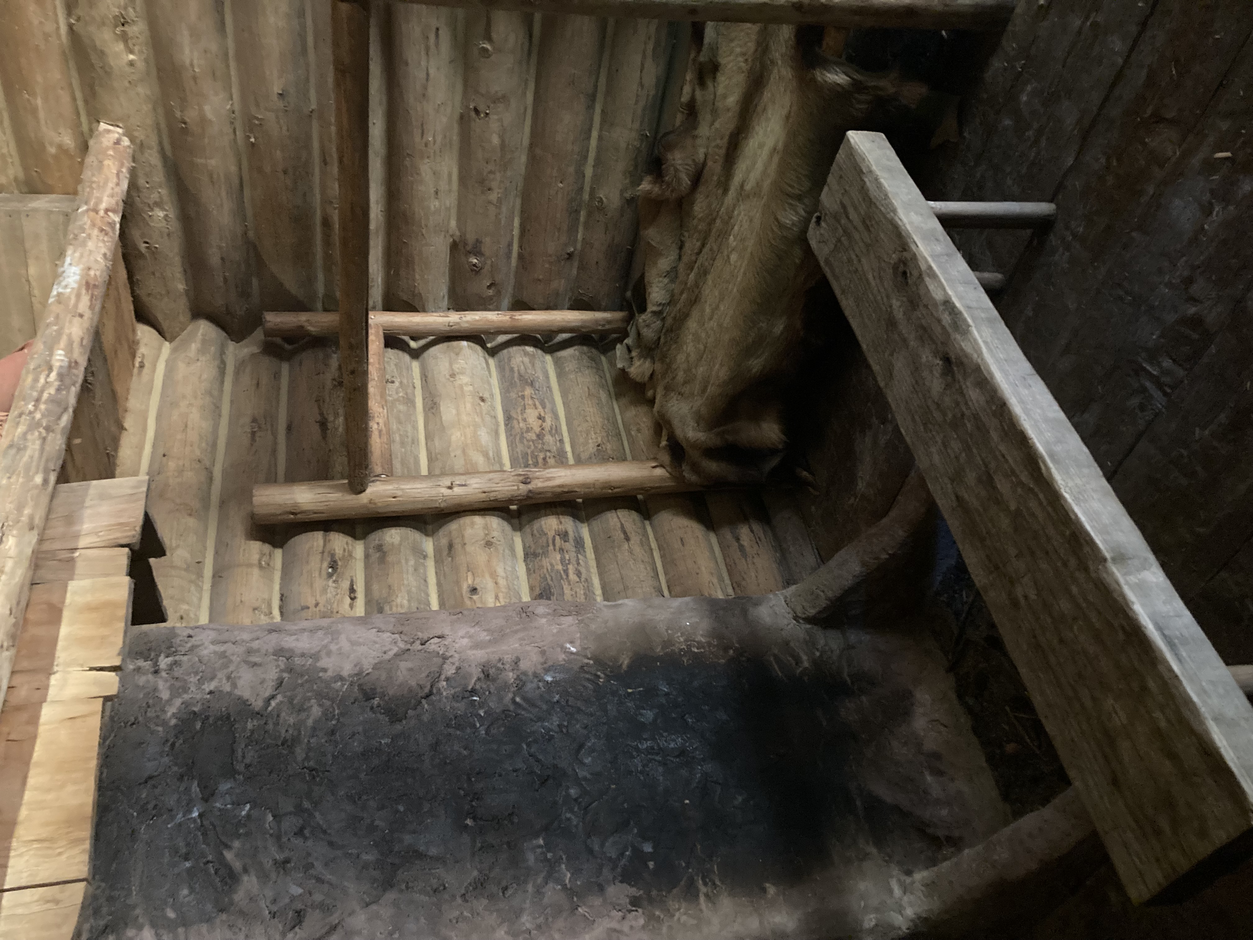
The Fort was relatively simple, consisting of two buildings surrounded by large walls. All of the men lived in one structure, while Lewis, Clark, Sacagawea, her husband Toussaint Charbonneau, and their son, Jean Baptiste, stayed in the other.
The Corp of Discovery's Quarters
Touring the Fort was actually a fairly short since it was a simple structure. What Mike and Bone really wanted to do is to take the trail that Clark and Sacajawea took from Clatsop to the sea. Unfortunately it was almost 5:00 and because of Covid, the park closed and locked its parking lot. So the Boys drove to the beach, for a hike back towards the fort and back.
Mike and Bone on the William Clark and Sacajawea Ocean Trail
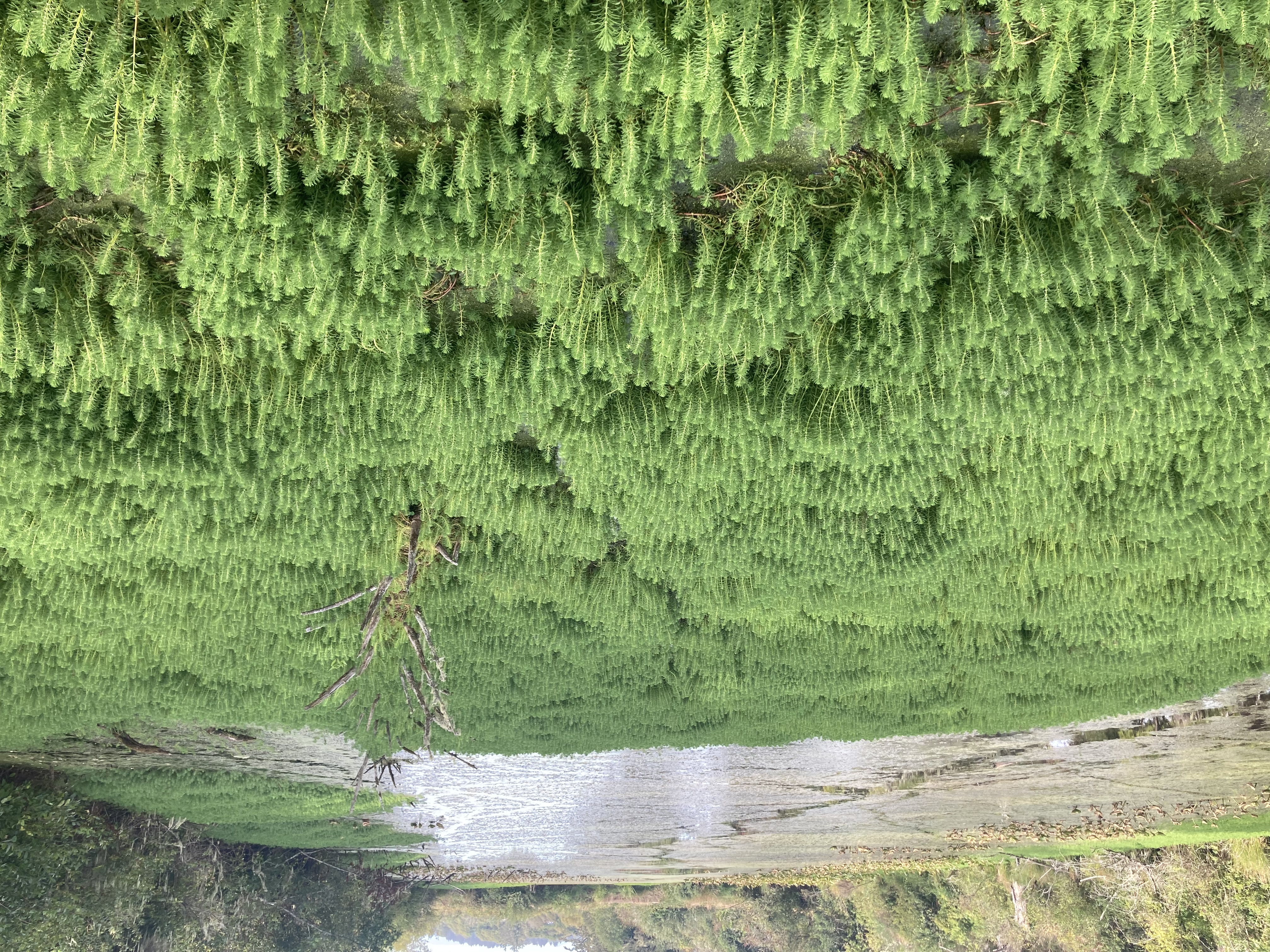
In reality, once Lewis and Clark saw the Ocean, their original objective was accomplished, but for the duration of their time in Fort Clatsop, Clark and Sacajawea tromped a trial on that is still used to this day!
"Mr. Lewis, the Pacific Ocean!" William Clark
After driving most of the Day it was really nice to get out and move the old bones (pun intended) in the very cool Oregon landscape, the trail traversed a few hills here and there and a very cool bog. Once the Boys reached PCH, they turned around to walk back and checkout the beach that Clark and Sacajawea saw in December 1805.
"Mr. Bone!, the Pacific Ocean!" Mr. Mike
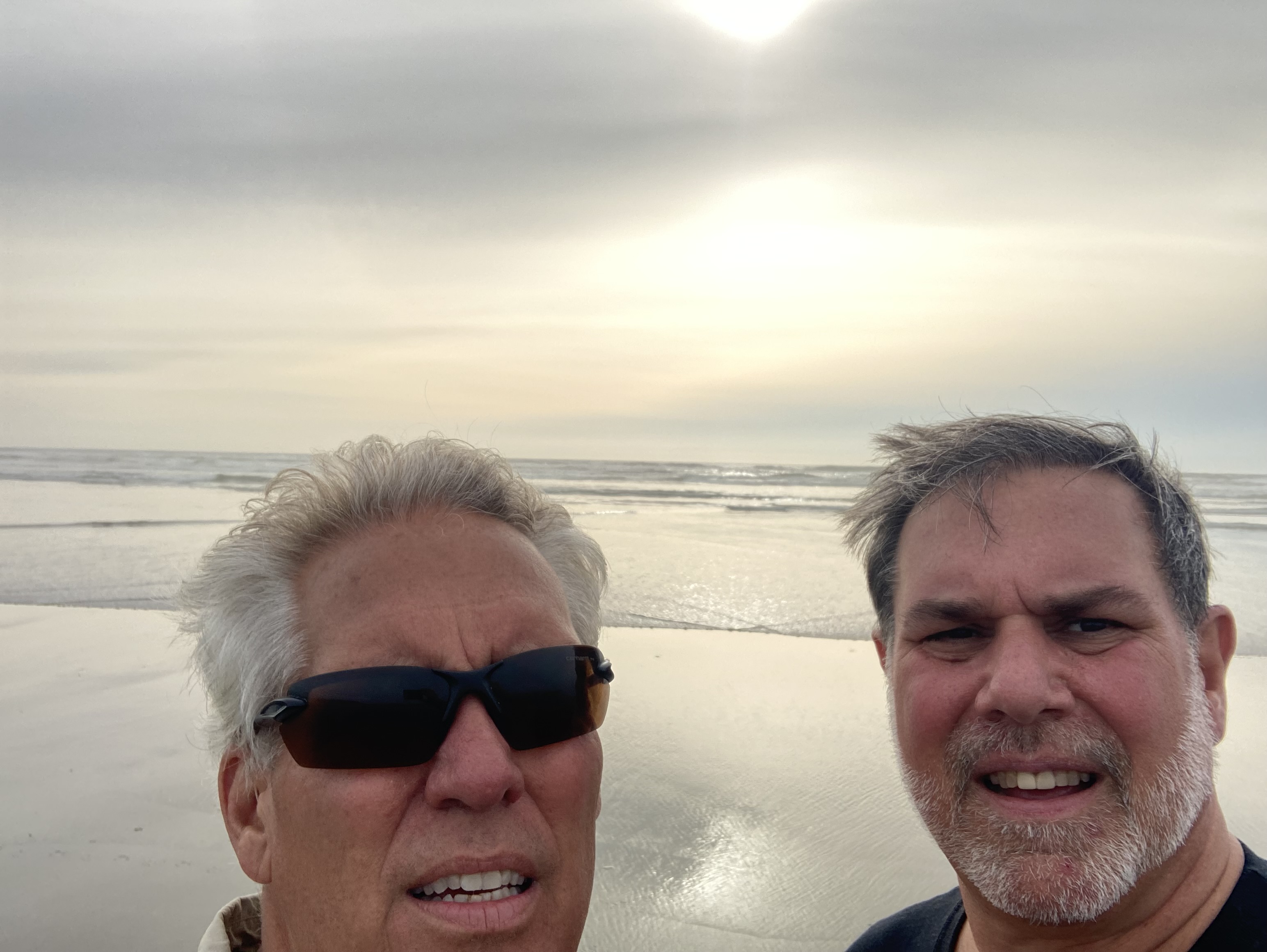
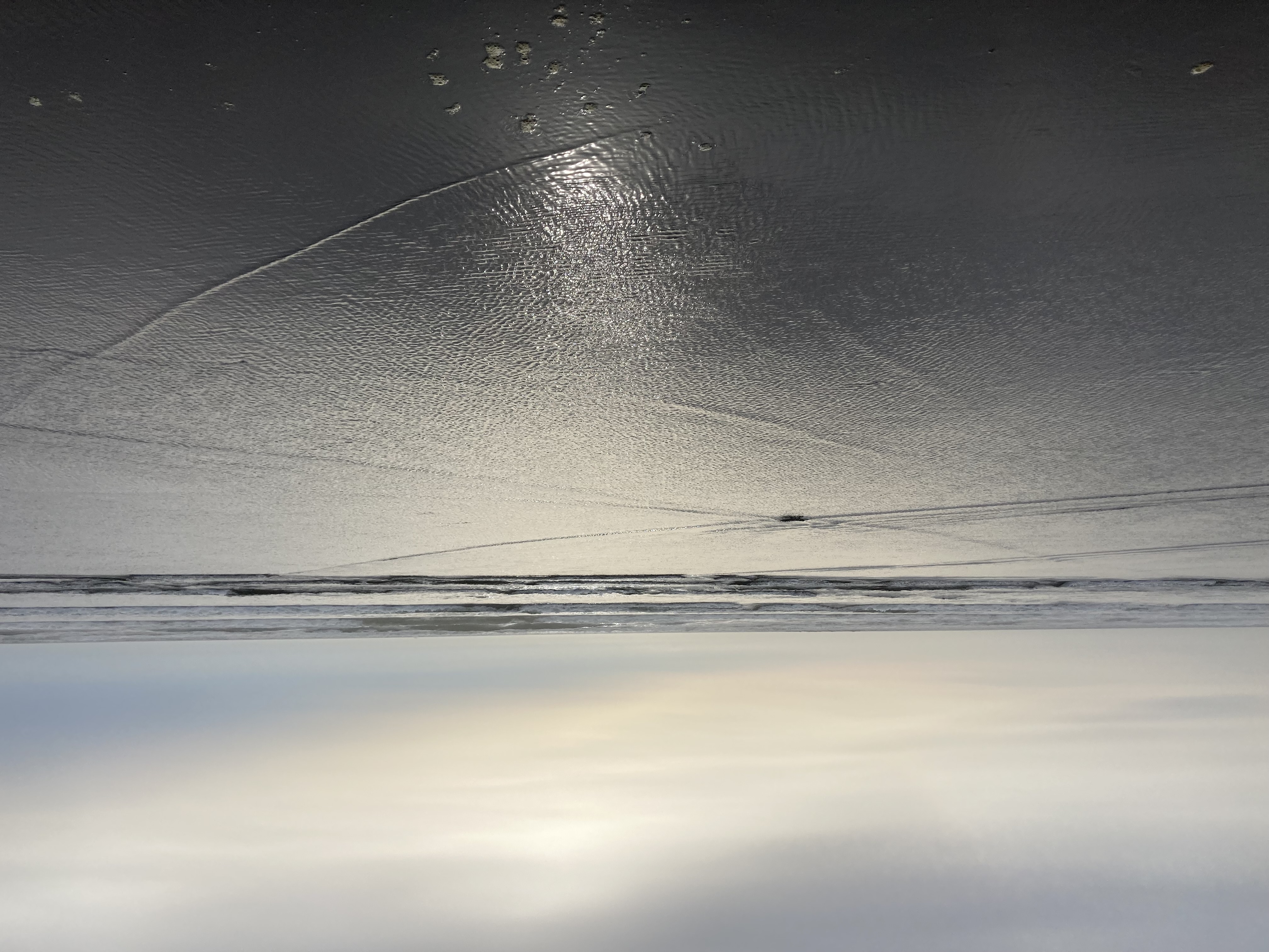
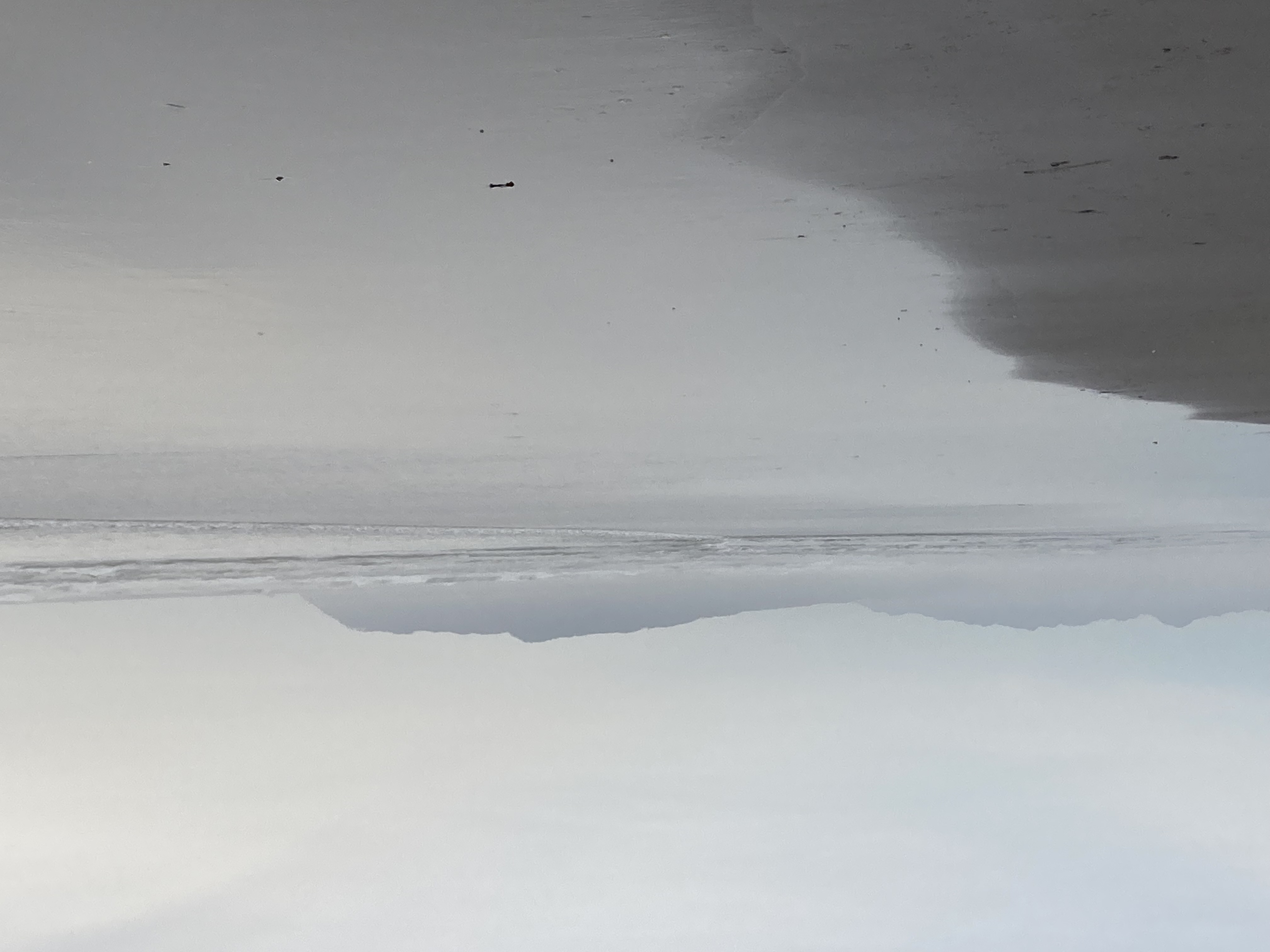
It was an awesome seascape!! Sorta, It certainly not the epic seascape portrayed in Ken Burns "Corp of Discovery," with huge granite pillars in the crashing surfing. Still a very cool place where the Corp boiled ocean water to make salt for the trip back to the States. After wandering the beach for half an hour, Mike and Bone decided it was time to figure out a place to spend the night. The Boys were a little tired of small town with no restaurants they boogied to the very top of Oregon on the Columbia River to very chic Astoria!
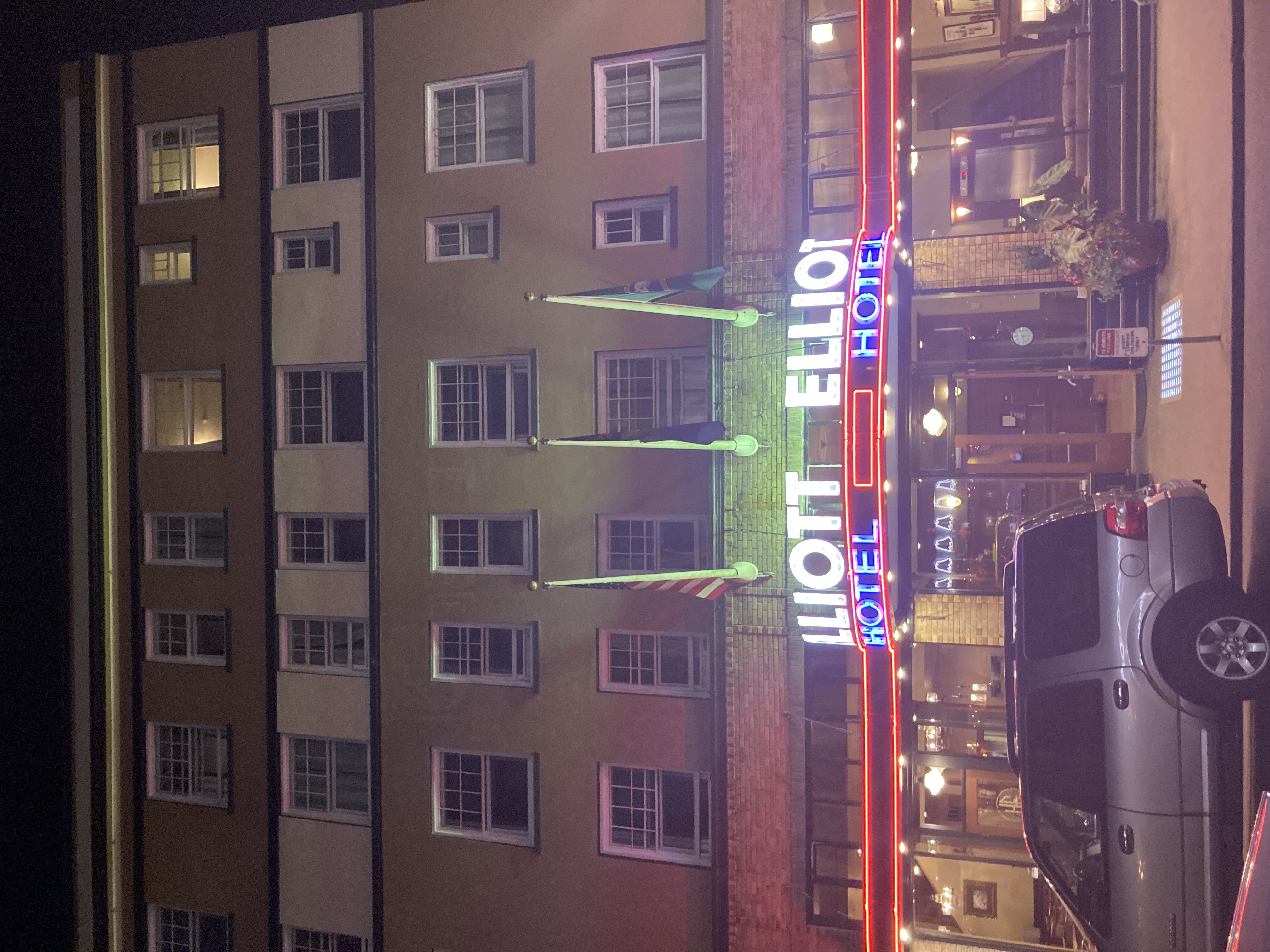
Awesome Astoria ! !
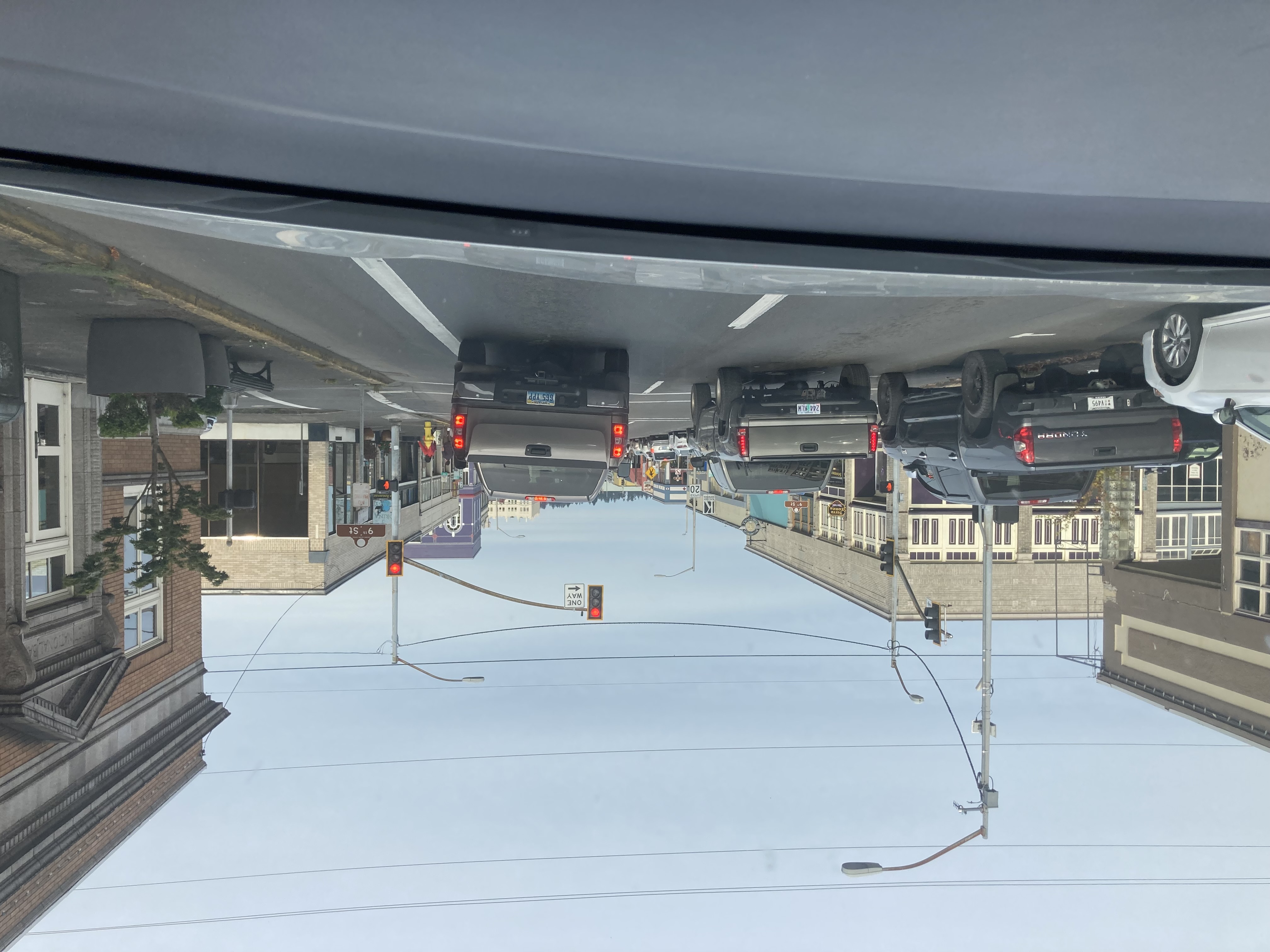
A mere 20 minutes north of Fort Clatsop is the storied town of Astoria, which is a port city and the seat of Clatsop County, Oregon, United States. Founded in 1811, Astoria is the oldest city in the state of Oregon and was the first American settlement west of the Rocky Mountains. Astoria is strategically located on the south shore of the Columbia River, where the river flows into the Pacific Ocean. Named for John Jacob Astor, the famed investor and entrepreneur from New York City, whose American Fur Company founded Fort Astoria at the site and established a monopoly in the fur trade in the early nineteenth century. Today, Astoria is still a major port city, but is also a very cool town with chic restaurants and bars. It was a welcome change to the dining-deprived small towns the Boys had dealt with since San Diego!
A T-Bone Experience Dining @ T-Pauls
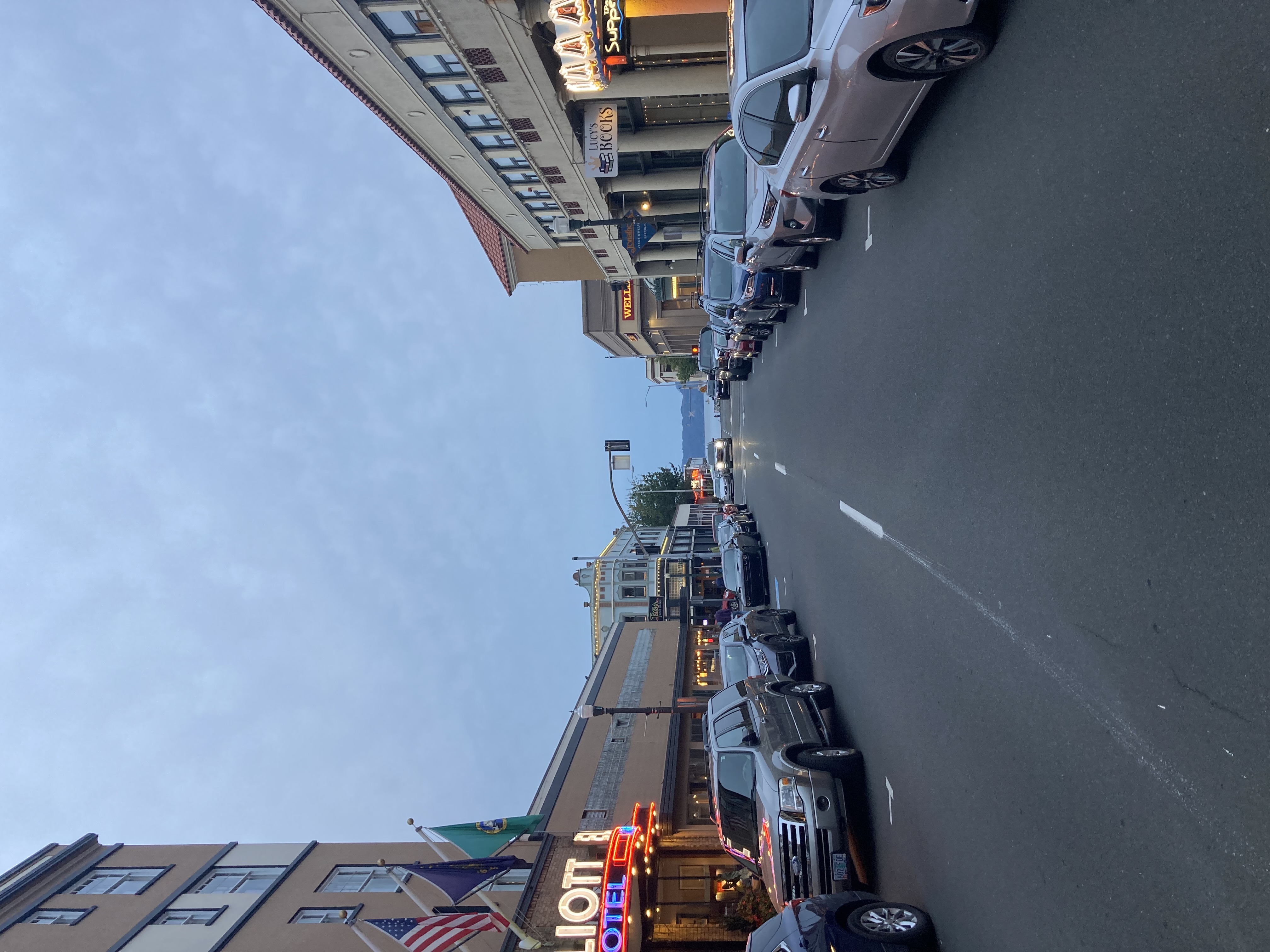
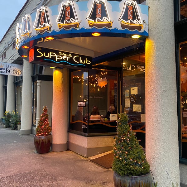
Mike and Bone found a fairly nice Hampton Inn right on the Columbia River, and headed into town for some food and drink! Wandering around the Boys quickly found T-Paul's which was a nice little bistro, smack dab in the middle of downtown. Sitting down by the bar in the eclectic-ly furnished restaurant, Mike ordered a red wine and Bone an old-fashion. While they order the house "specialty, a Bone-in Ribeye, they started to dicker with the Bartender who was the "T" in T-Paul's, her and her business partner had opened and run T-Paul's for about 12 years. She shared they had struggled to the point of closing during the height of the pandemic. T-Paul's was still clearly under-staffed in waitresses and cooks, it took them a solid hour to get very a couple of very pedestrian steaks, not bad, but not great. Afterwards, the Boys decided to hit the Town for a few drinks.
Enjoying a few Cocktails!
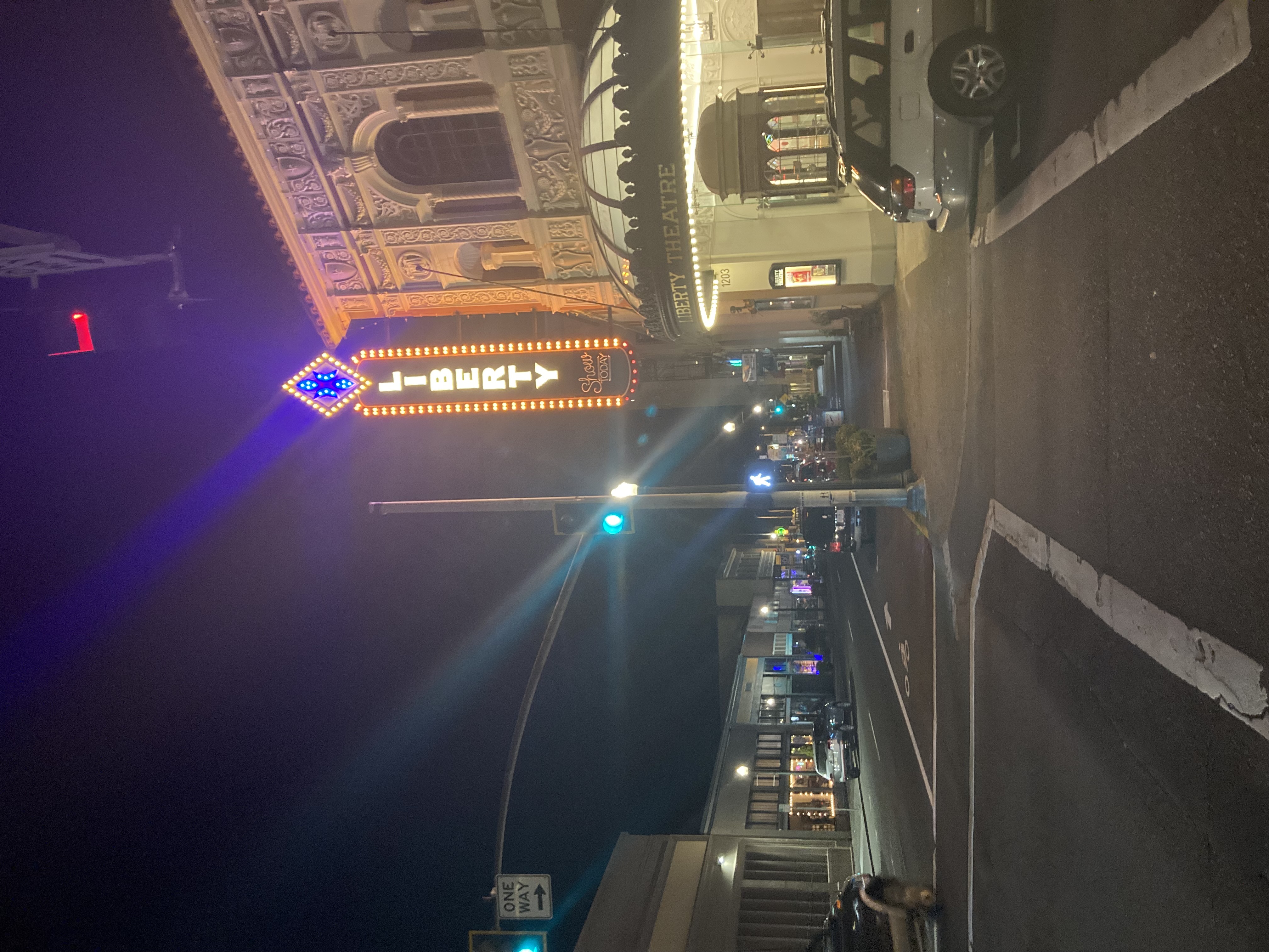
Even though it was a Thursday evening, the town was dead, Covid clearly ruled the streets!. The Boys wandered in an out of a few bars that were very vacant. They finally found a cool little place where Bone had a few, but unlike so many other adventures were the Boys get into awesome interchanges, there just were too many people scared to go out.
Around 10:30, the Boys put in with the final state on the agenda in sight on the opposite banks of the mighty Columbia River!